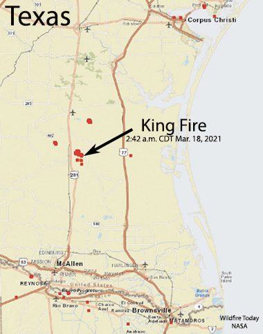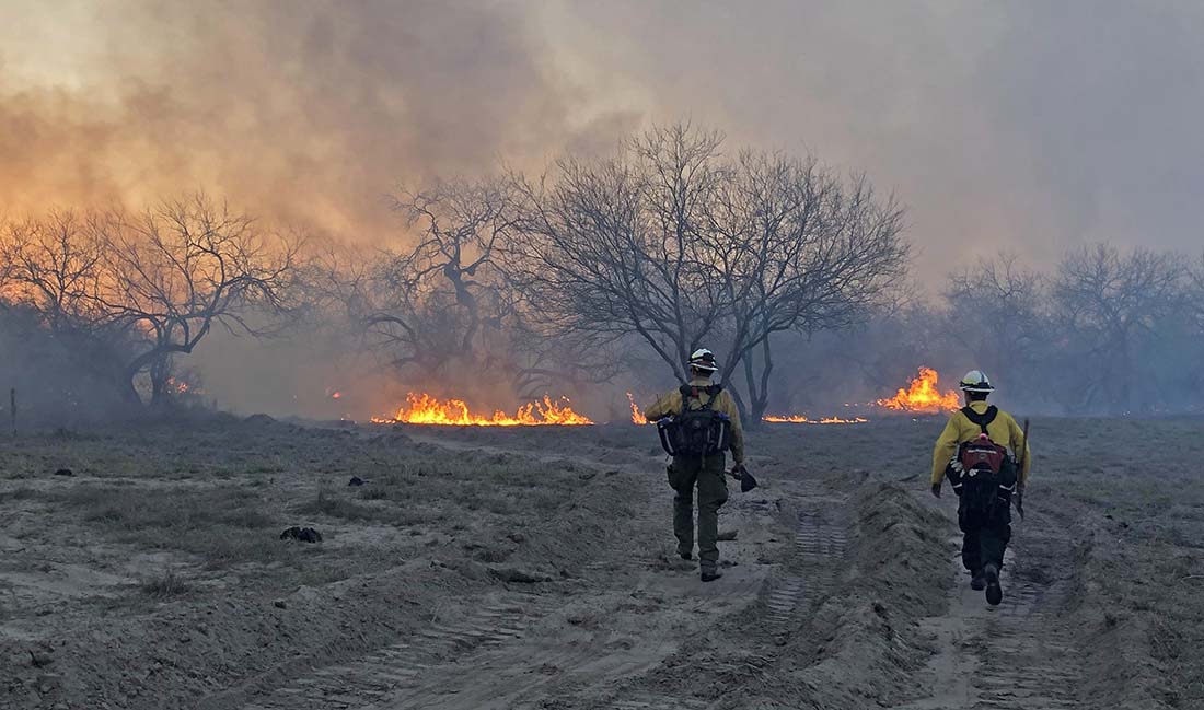
The Texas Forest Service said a vegetation fire has burned about 10,000 acres as of 7:30 a.m. CDT Thursday, 70 miles southwest of Corpus Cristi, Texas in Brooks County. The fire started at the King Ranch east of Encino.
One structure has burned and others are threatened. There are two other smaller fires in the area, northwest and northeast of Encino, including the Butterfly 2 Fire which has burned about 300 acres.


Thursday’s weather forecast calls for 13 mph northerly winds decreasing throughout the day to 5 mph by sunset, with relative humidities in the high teens.
Update: the #Butterfly2Fire in Brooks County is an estimated 300 acres and 70% contained. Crews worked until the early morning constructing containment line around large portions of the fire. #txfire pic.twitter.com/MBUflVGCsp
— Incident Information – Texas A&M Forest Service (@AllHazardsTFS) March 18, 2021

Sorry for everyone’s loss and to the fire department Thank you.
I am sorry for the loss of wildlife on a controlled fire that went out of control. Was wondering who will make amends for the fences and property not on the King Ranch that were also a loss?
God be with you. Sorry for your loss.
I am so sorry for your loss. GOD bless the fire fighters.