
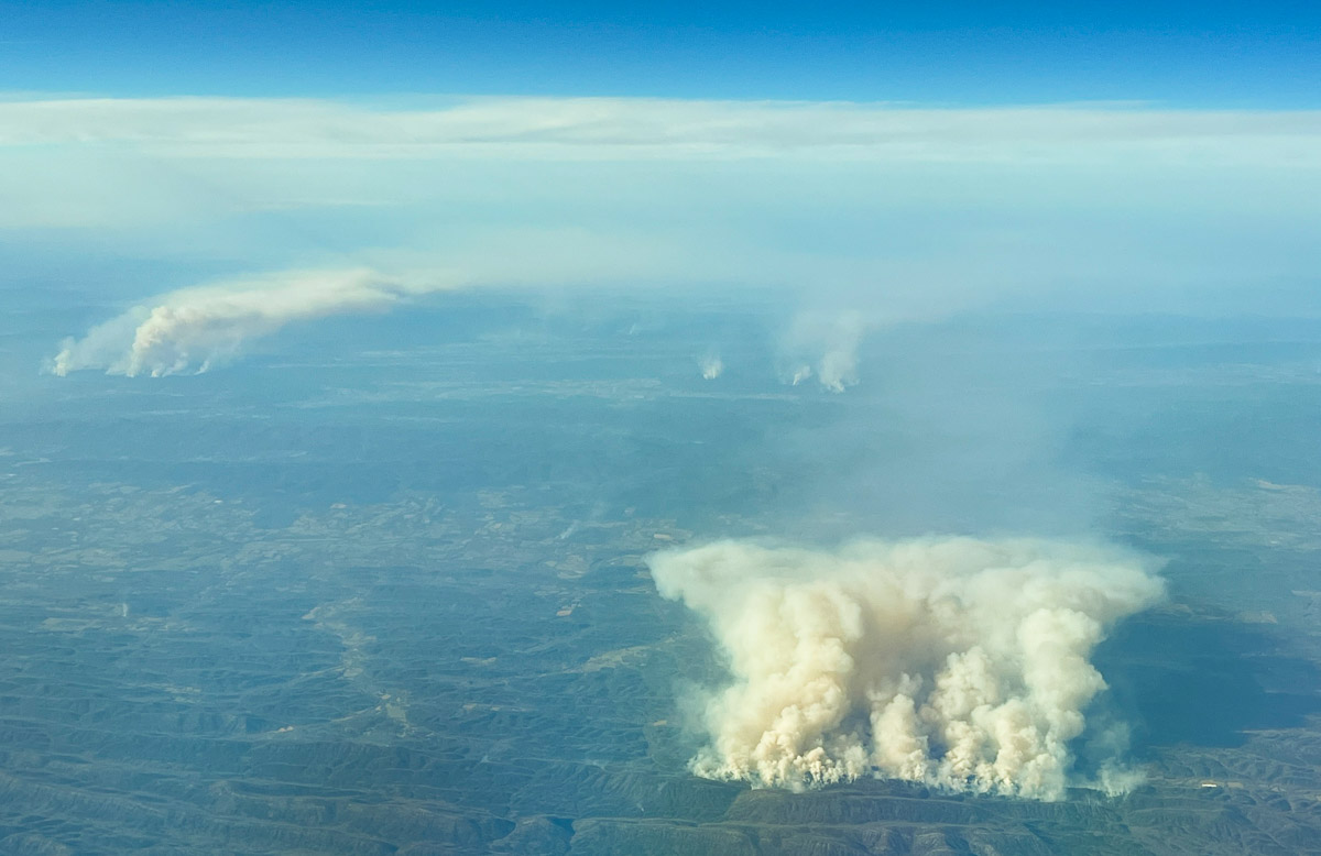
On a flight that took me over Arkansas today, March 20, there was quite of bit of fire activity in the western part of the state. From 30,000 feet it was impossible to tell if it came from prescribed fires or wildfires. The photo above was taken approximately 21 miles north-northeast of Dierks, looking north.
Heat detected by satellites, which may be the larger smoke in the photo, was long and narrow in an east-west direction, just north of Hurricane Knob.
A weather station north of the smoke on Sunday afternoon recorded 78 degrees, 17 percent RH, and 6 mph winds gusting out of the south-southwest at 10 to 14 mph.
There were numerous smaller smokes north and northwest of the ones seen in the photo.

I love checking out Wildcad, and then finding what date your looking for with the incident number and then clicking on the Google earth option. Should be able to find your smoke from there, looks like lots of RX was happening the 20th down in Arkansas and OK.
Spot Wx forecasts on local NWS website usually does the trick….
…..and? A quick search would probably help you distinguish between the two.
A search of moderate length produced no evidence of either type of fire. But my resources on an aircraft are limited.
Thanks for the photo Bill – RX is going pretty strong in R8 for the last week due to sunny dry days with some wind.