

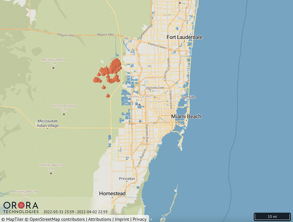
There is a discussion on Twitter about to what extent, if any, fire-induced convection and smoke from a wildfire northwest of Miami contributed to downstream precipitation and a flood advisory north of the city. While it happened on April 1, I don’t see any indication that it is a joke.
There is a possibility that outflow from a nearby thunderstorm interacted with the convection and smoke from the wildfire to intensify the effects.
The thread was started by Philipe Papin, a meteorologist with the NWS National Hurricane Center.
Pretty rare to see this in #Miami metro, but smoke induced convection (PyroCu) from a #wildfire just west in the everglades near Krome Ave seems to be triggering a flood advisory on the coast.
Can easily see new cells (high CC) triggered by wildfire smoke (low CC). ?? #FLwx https://t.co/TMFLxn2GSV pic.twitter.com/uwSc5SXABZ
— Philippe Papin (@pppapin) April 2, 2022
One of the fires in that general area is the 12,000-acre L 30 Fire which has been burning since at least March 28.

Given the combination of phenomena, it would be interesting to know approximately how much convection contributed to the amount/rate/period of precipitation.
Yeh, nobody should be rocking a damn shelter that was made 16 years ago in the first place!!!!!