(UPDATED at 11:43 p.m. MDT May 24, 2020)
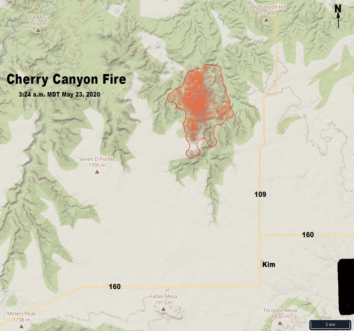
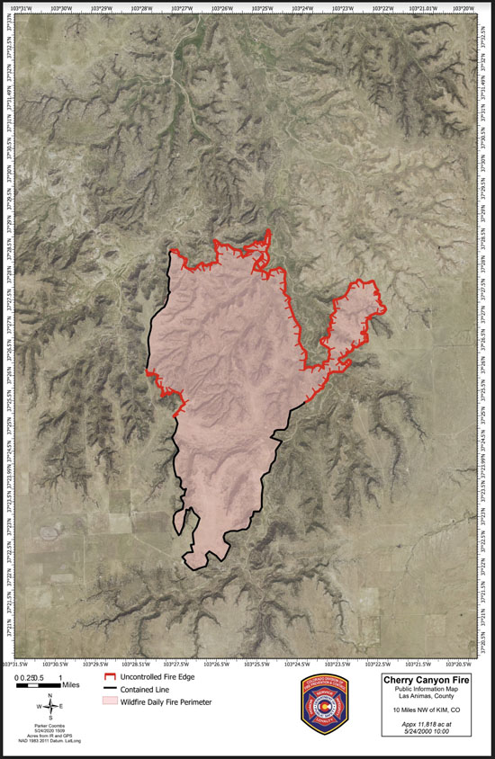
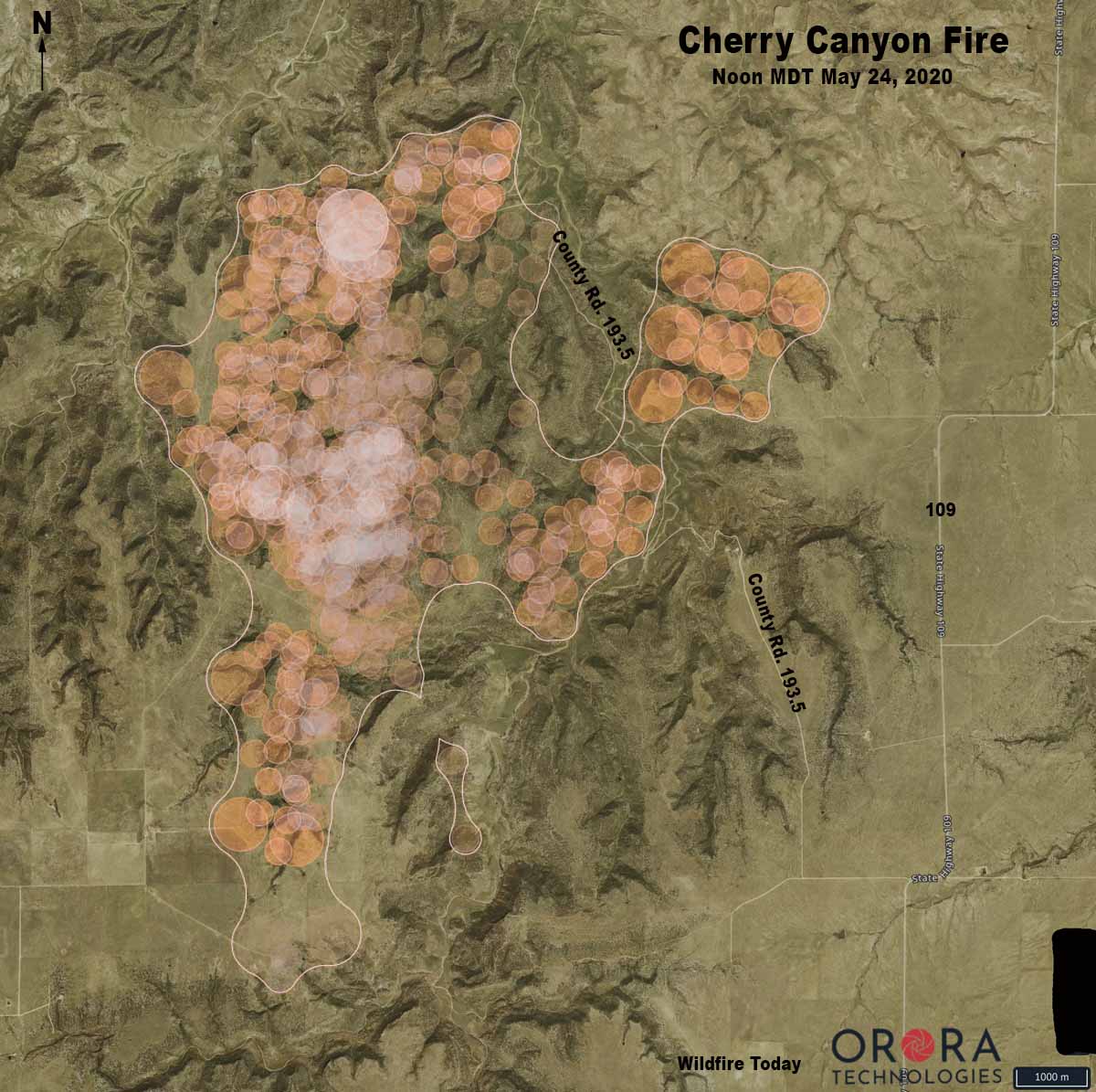
Strong winds and extremely low humidity on Saturday caused the Cherry Canyon Fire, 13 miles north of Kim, Colorado, to spread to the northwest crossing County Road 193.5 west of Highway 109. Colorado Fire Prevention & Control said Saturday evening that the fire was mapped at 11,818 acres at 5 p.m.
In a five-hour period Saturday morning the humidity dropped from 92 to 8 percent while the southwest wind was blowing at 3 to 8 mph gusting to 31, according to records from a portable weather station installed near the fire. Spread of the fire slowed Saturday night and by 7:45 Sunday morning the humidity had risen to 69 percent. Rain began falling after 4 p.m., with 0.15 inches accumulating by 11 p.m.
Below is an excerpt from a news release by Colorado Fire Prevention & Control:
Firefighters camped out on the West side of the fire last night and completed a large portion of work in the accessible terrain and will continue to monitor the inaccessible areas. Firefighters on the East side of the fire were not able to conduct burnout operations last night due to unfavorable conditions, but worked in that region today to tie in the large slopover/run from yesterday afternoon.
Additionally, while there are few structures at risk from this fire, other values, such as grazing land, water, and livestock, are very important in this region. Allowing the fire to continue to burn eliminates feed for cattle, exposes steep slopes to be susceptible to erosion, and causes health concerns from the increased smoke. As is normal in every wildfire, a risk-benefit analysis is conducted before actions are initiated; from this discussion, it was determined that rather than smoking out communities, removing grazing land for cattle and impacting communities with restrictions on travel/road closures, it is better to suppress the fire.
(UPDATED at 11:28 a.m. MDT May 23, 2020)
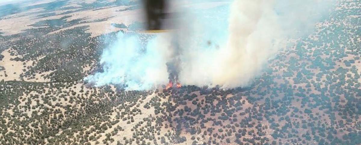
In an update Friday at 5:40 p.m. MDT the Colorado Division of Fire Prevention and Control said the lightning-caused Cherry Canyon Fire had burned 9,602 acres. A Type 3 Incident Management Team led by Phil Daniels is assigned.
(To see all articles on Wildfire Today about the Cherry Canyon Fire click here)
“Safety is the number one priority and as such, strategies moving forward include maintaining firefighter and public safety by utilizing sound risk management actions and utilizing suppression activities that guide the fire into natural barriers,” the agency said in a news release. “Additionally, [we are] minimizing the potential impacts of COVID-19 through the practice of social distancing, proper personal hygiene, and regular cleaning.”
The fire is in southeast Colorado 9 miles northwest of Kim and 58 miles east-northeast of Trinidad. It was reported at 8:28 MDT on Wednesday.
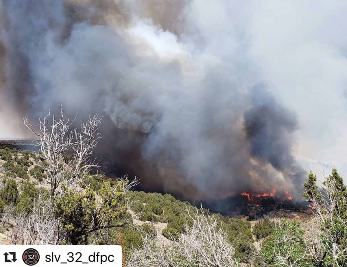
Strong winds and difficult access are making fighting the fire difficult.
A Red Flag Warning is in effect again for the fire area from noon to 8 p.m. MDT today due to gusty winds, low relative humidity, and dry fuels.

