Helicopter crashes while working on the Polles Fire in Arizona

(Updated at 8:18 p.m. MDT July 7, 2020)

Map helicopter crash Arizona Payson Polles Fire
Map showing heat detected on the Polles Fire by satellites at 2:06 a.m. MDT July 7, 2020.

Officials from the Tonto National Forest confirmed that a helicopter crashed today while working on the Polles Fire in central Arizona. The only person on board was the pilot, who was deceased. He was identified in a press conference as Bryan Boatman, 37, with Airwest Helicopters out of Glendale, Arizona. He leaves behind a wife and 8-year-old child.

The Chief of the Pine-Strawberry Fire District said the pilot’s wife arrived at the Payson Airport as the body was being retrieved from the accident scene.

The helicopter crashed north of the main fire in a remote area only accessible on foot or by helicopter while transporting supplies for hand crews. After the crash was reported to the fire’s Incident Commander at 12:22 p.m. Tuesday, a Sergeant with Sheriff’s office was transported to the scene via short haul, suspended on a rope under a helicopter. He began the process of the investigation and removing the pilot’s remains.

A Federal Aviation Administration spokesman said the UH-1H helicopter went down about 10 miles west of Payson.

A Temporary Flight Restriction (TFR) has been issued at the Payson airport due to the crash, Airport Coordinator Dennis Dueker said. All flights in the area will be grounded until the TFR is lifted.

As of Monday night the Polles Fire had burned 580 acres 11 miles west of Payson, Arizona.

The Southwest Area Type 1 Incident Management Team (IMT) #2 led by John Pierson was scheduled to assume command of the fire July 6 at 6 a.m.

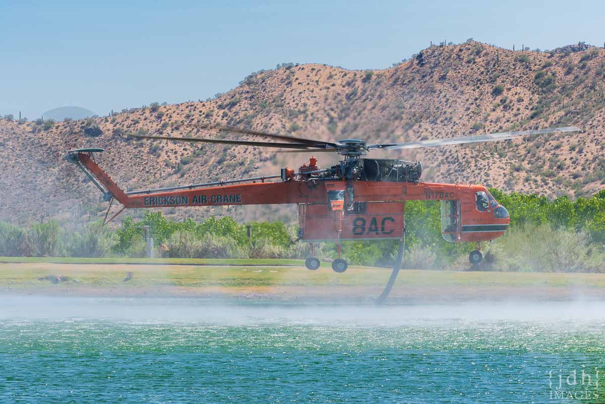
Six hotshot crews and three other hand crews are working in conditions described by the incident management team as extreme. They have been working shifts late into the evening for the last few nights, spiked out in remote locations relying on helicopters to fly in their food, drinking water, and supplies.

The IMT said there are no current threats from the fire to the communities of Pine-Strawberry or Payson.

The fire started July 3 from lightning. It is only accessible by helicopter.

Polles Fire
Smoke from the Polles Fire. InciWeb photo posted July 6, 2020.

Our sincere condolences go out to the family and friends of the pilot, and the firefighters that were working on the Polles Fire.

Thanks and tips of the hat go out to Tom, Eric, and Kelly. Typos or errors, report them HERE.

Firefighters on the Bighorn Fire near Tucson prepare for Red Flag conditions Sunday and Monday

The fire has grown to over 95,000 acres, approaching “megafire” status of 100,000 acres

(Originally published at 2:29 p.m. MDT June 27, 2020)

Summerhaven Bighorn Fire Tucson Mt Lemmon
Night operations at Summerhaven on the Bighorn Fire. Photo by David Melendez June 26, 2020.

The National Weather Service in Tucson has issued a Red Flag Warning for Tucson and the Bighorn Fire area from noon to 8 p.m. MST Sunday and from noon to 8 p.m. MST Monday. The prediction is for strong winds, low humidity, and very high fire danger. The wind is expected to be out of the southwest at 15 to 25 mph with gusts to 35 mph Sunday, and on Monday, southwest at 15 to 20 mph with gusts between 35 and 40 mph. The relative humidity will be 10 to 17 percent in the valleys and 13 to 21 percent in the mountains.

From the Incident Management Team on Saturday:

“Friday night, burnout operations south of Davis Spring Road and 4 miles west of Redington were conducted to reduce the risk of eastward fire spread. Aerial ignition operations were conducted near Palisade Canyon and Green Mountain to improve firelines and reduce the risk of uncontrolled fire reaching the Catalina Highway. East of Saddlebrook a firing operation improved firelines. Holding, mop up and structure protection was the focus in Summerhaven, Willow Canyon, and Saddlebrook. Biosphere, Oracle, and Sabino Canyon were in patrol status.

“Saturday’s Activities: Crews will hold and improve line near Willow Canyon, Palisade Canyon, Green Mountain, and south of the Davis Spring Road. Hotshot crews will build fireline on the south side of Green Mountain. A hand crew will work to extinguish a hotspot approximately three miles northeast of Catalina State Park.  East of the fire, construction will continue on contingency lines by connecting to existing road systems. Structure protection will be in place for Saddlebrook and along the Catalina Highway.Initial attack resources are pre-positioned around the fire.”

A mapping flight Friday night determined that the Bighorn Fire had burned 95,225 acres, a 24-hour increase of over 7,000 acres.

(To see all articles about the Bighorn fire, including the most recent, click here.)

map Bighorn Fire Tucson Mt Lemmon
3-D map of the Bighorn Fire looking southeast. The red line was the perimeter at 10:31 p.m. MDT June 26, 2020. The green line was the perimeter about 48 hours before.
map Bighorn Fire Tucson Mt Lemmon
Map of the Bighorn Fire. The red line was the perimeter at 10:31 p.m. MDT June 26, 2020. The green line was the perimeter about 48 hours before.
Bighorn Fire Tucson Mt Lemmon
Firing operation on Oracle Ridge at the Bighorn Fire. Inciweb photo June 23, 2020.

Avondale Fire burns almost 1,000 acres near Phoenix Raceway

West of Phoenix

Avondale Fire Arizona Phoenix
Avondale Fire. Photo by Arizona State Forestry 6-26-2020.

Since the Avondale Fire started Friday afternoon west of Phoenix it has burned approximately 980 acres, the Arizona State Forestry announced at 10:49 a.m. MDT Saturday. It has been burning through a river bottom in salt cedar, creating thick, dark smoke.

First reported near 113th Avenue and Indian Springs Road in Avondale, it began on state land and has burned onto a parcel managed by the Buenos Aires National Wildlife Refuge. It is about half a mile northwest of Phoenix Raceway.

The Maricopa County Sheriff’s Office has information about evacuations.

Avondale Fire Arizona Phoenix map
Map showing heat (the red dots) detected by a satellite on the Avondale Fire at 4:12 a.m. MDT June 27, 2020.
Avondale Fire Arizona Phoenix
Avondale Fire. Photo by Arizona State Forestry 6-27-2020.

Bighorn Fire near Tucson grows to over 81,000 acres

Firing operations are being conducted to protect Saddlebrooke

(UPDATED at 7:53 a.m. MDT June 25, 2020)

Bighorn Fire Samaniego Peak
Bighorn Fire on Samaniego Peak, 6 p.m. June 24. Inciweb photo.

The Bighorn Fire north of Tucson was active Wednesday and Wednesday night. As firefighters worked on structure protection and fireline reinforcement in the Summerhaven and Willow Canyon areas, helicopters and air tankers successfully slowed fire spread and reduced fire intensity in the west fork of Sabino, Bird, and Rattlesnake canyons. Aerial firing operations in the Charouleau Gap area four miles east of Saddlebrook started around 5 pm.

(To see all articles about the Bighorn fire, including the most recent, click here.)

Bighorn Fire map Arizona Tucson
3-D map of the Bighorn Fire looking southeast. The red line was the perimeter at 9:46 p.m. MDT June 24, 2020. The green line was the perimeter about 24 hours before.

Firing operations also were carried out along the Catalina Highway near Spencer Peak and Spencer Canyons one mile east of Summerhaven and reinforced firelines near Dodge Wash two miles south of Oracle.

Bighorn Fire map Arizona Tucson
Map of the Bighorn Fire. The red line was the perimeter at 9:46 p.m. MDT June 24, 2020. The green line was the perimeter about 24 hours before.

A mapping flight Wednesday night determined that the Bighorn Fire had burned 81,702 acres, a 24-hour increase of over 7,000 acres.

Evacuations are in effect. For more information visit pima.gov/bighorn or pinalcountyaz.gov/emergencymanagement


(Originally published at 9:47 a.m. MDT June 24, 2020)

Bighorn Fire map Arizona
3-D map of the Bighorn Fire looking southeast. The green line was the perimeter June 19, 2020. The red line was the perimeter at 10:52 p.m. MDT June 23, 2020. The shaded areas represent intense heat detected by the mapping sensors in the fixed wing aircraft.

The Bighorn Fire has grown significantly in recent days to the north, west, and east. Since June 19 it has spread two miles to the west, five miles north, and three miles east.

During a mapping flight at 10:52 p.m. June 23 the fire was two miles south of Oracle, three miles south of Highway 77, and 2.5 miles southeast of Saddlebrooke. The fire has now burned 74,547 acres after starting from a lighting strike on June 5. About $21 million has been spent on managing the blaze.

A DC-10 Very Large Air Tanker drops retardant near Pontatoc Ridge on the Bighorn Fire north of Tucson, June 11, 2020. Photo by Tim Peterson.

On Tuesday structure protection and containment work supported by helicopter bucket drops focused around Mt. Lemmon, Summerhaven, and Willow Canyon. Low-intensity firing operations removed pockets of unburned fuels in these areas. Aerial firing operations were conducted south of Oracle. The efforts near Oracle Ridge and Rice Peak are intended to reduce the risk of uncontrolled fire growth to the north in the coming days.

Evacuations are in effect. For more information visit pima.gov/bighorn or pinalcountyaz.gov/emergencymanagement

Resources assigned to the fire Tuesday included 20 hand crews, 81 fire engines, 6 dozers, 19 water tenders, and 10 helicopters for a total of 876 personnel. The number of personnel assigned has decreased by 112 since Monday. There have been 4 minor injuries.

Bighorn Fire Arizona
Bighorn Fire as seen from Saddlebrook June 23, 2020. Photo by Molly Hunter.

Night shift on the Mangum Fire, northern Arizona

Globe Hotshots, Mangum Fire wildfire Arizona
Globe Hotshots, Mangum Fire, June 18, 2020. Photo by Mike McMillan. The parallel line pattern is a result of swinging the drip torch from side to side while walking.

Strategic burning operations are often conducted at night, giving firefighters more control over the behavior of the fire they are igniting.

Mike McMillan, a Task Force Leader on the Mangum Fire in northern Arizona, sent us these photos of the Globe Hotshots during a recent burning operation on the east side of the fire.

Thanks Mike!

Globe Hotshots, Mangum Fire wildfire Arizona
Globe Hotshots, Mangum Fire, June 18, 2020. Photo by Mike McMillan.

Central Fire spreads east from New River, AZ

Central fire mapped Sunday night at 4,517 acres

(UPDATED at 11:40 a.m. MDT June 22, 2020)

Central Fire Bush Bighorn Arizona wildfire map
3-D map showing the Central Fire which was mapped at 12:08 a.m. MDT June 22, 2020. The Bush and Bighorn Fires can be seen in the distance.

The Central Fire just east of New River, Arizona spread to the east Sunday to the top of New River Mesa, growing to 4,517 acres according to a mapping flight at 12:08 a.m Monday.

At a virtual community meeting Sunday night Ralph Lucas, the Operations Section Chief of Alan Sinclair’s Type 1 incident management team running both the Central and Bush Fires, said he did not expect the Central Fire to grow much more:

But when I last spoke to the Incident Commander on the Central Fire, he was confident with what they had going on, and thinks that we might be able to get around this thing and not see a drastic increase in acreage, but only time will tell depending on the weather and the wind.

Skycrane “Isabelle” N178AC, a Sikorsky S-64F fire wildfire
Skycrane “Isabelle” N178AC, a Sikorsky S-64F from Erickson Incorporated fills her 2,500 gallon tank at the Rancho Manana Golf Club while fighting the nearby Central Fire burning in the Tonto National Forest near New River, AZ on June 21, 2020. Photo by John Hall.


(Originally published at 12:47 p.m. MDT June 21, 2020)

DC-10 air tanker Central Fire
Air Tanker 914, a DC-10, drops retardant on the Central Fire, June 20, 2020. Photo by JDH Images.

Eleven months ago firefighters battled a wildfire north of Phoenix about 35 miles north of Phoenix, 4 miles east of Interstate 17. There was confusion about the name of the fire, switching from Central to Daisy and back to Central.

Saturday the same thing happened in the same location. A fire started in the footprint of the 2019 Central Fire. The name changed from Central to Daisy and back to Central.

Central Fire Arizona Phoenix
Red dots represent heat on the June 20, 2020 Central Fire detected by a satellite at 3:21 p.m. MDT June 20, 2020. Retardant from the July 20, 2019 Central Fire is visible in the background satellite photo taken August 12, 2019.

In the satellite photo above taken August 12, 2019, 23 days after the first Central Fire, you can make out retardant which was dropped by air tankers. Within those retardant lines are superimposed red dots representing heat on the June 20, 2020 Central Fire detected by a satellite at 3:21 p.m. MDT June 20, 2020.

Last year’s Central Fire burned between 503 and 800 acres.

Central Fire information Arizona

The Southwest Coordination Center lists the current Central Fire at 2,000 acres. Since the Saturday afternoon overflight, satellites have not been able to detect any large heat sources on the fire, but it is likely burning, or was burning, in light fuels such as grass, and cooled quickly between overflights.

Last year we made the map below:

Map Arizona location Central Fire
Map showing the location of the Central Fire 35 miles north of Phoenix at 3:21 p.m. MDT July 20, 2019.

The Incident Management Team on the Bush Fire northeast of Phoenix is managing the Central Fire.

The Bush Fire grew Saturday by 9,171 acres to bring the total up to 184,531 acres. Firefighters have had success in recent days stopping the spread at Highways 87 and 188. They are closely watching the south side as it backs slowly downhill through light vegetation to Apache Lake and the Salt River.

Central and Bush Fires Phoenix
The Central and Bush Fires in the Phoenix Area, June 21, 2020.