Above: Power line repair, Erskine Fire. Undated uncredited photo from InciWeb.
(UPDATED at 9:17 a.m. PDT June 28, 2016)
Most of the evacuation orders have been lifted for residents that were forced to leave their homes during the Erskine Fire near Lake Isabella, California.

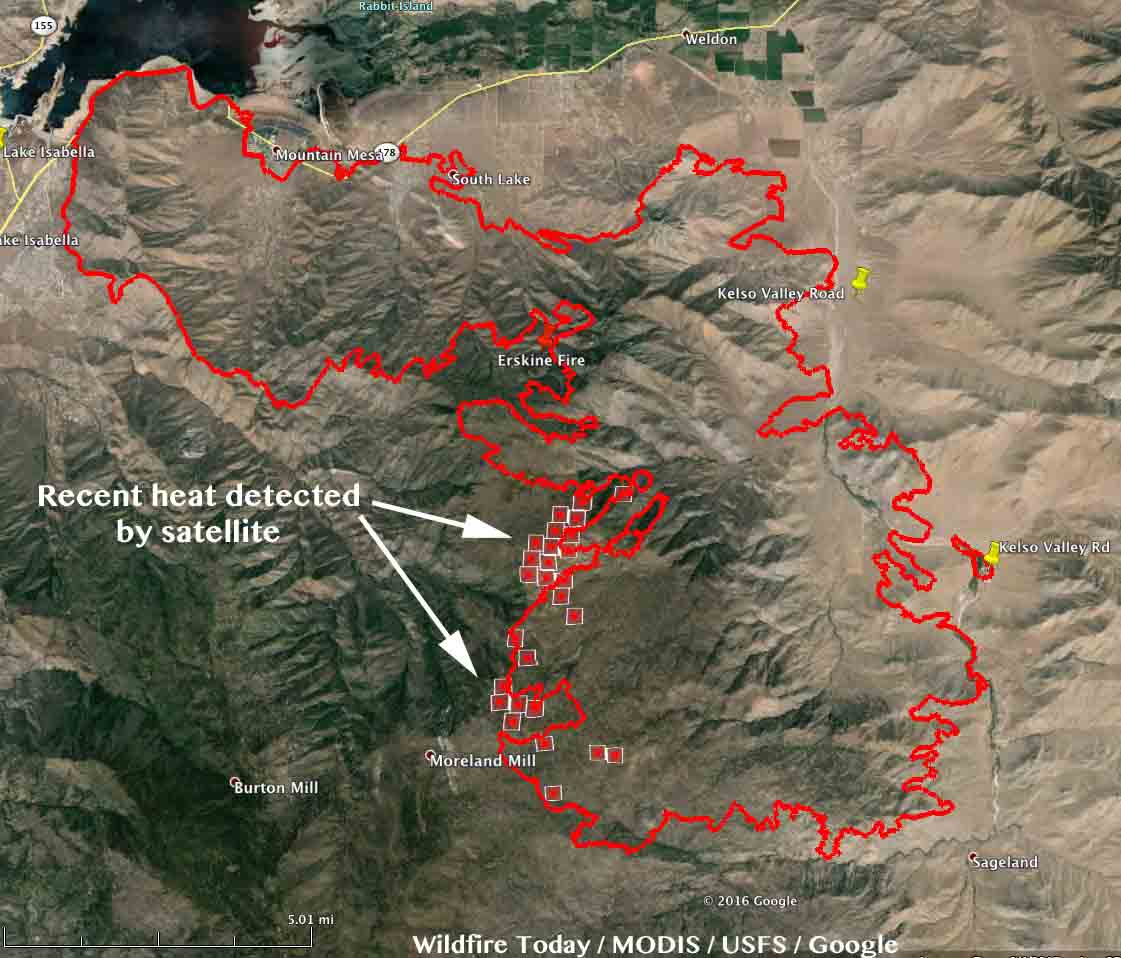
The latest satellite overflight showed much-reduced heat on the Erskine Fire, only detecting heat on the southwest side where there was some westward movement of the fire. This does not mean the rest of the fire is out. The satellite is hundreds of miles away and only finds the larger heat sources. There is no doubt some fire activity in other areas, but this latest data does show that much of the fire is not still spreading.
Highway 178 is now open. However some roads off of Highway 178 remain closed, including Entrada, McCray Rd, Dogwood, Kelso Valley Rd and Kelso Creek Rd.
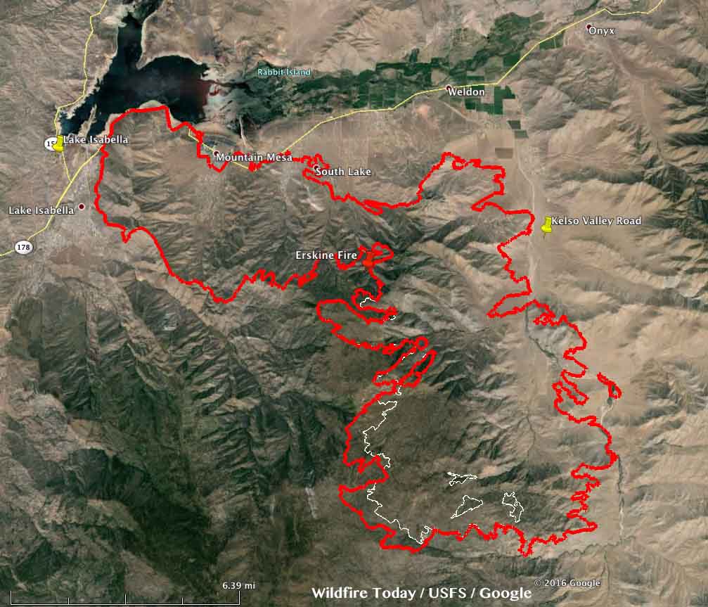
The incident management team has not updated the size of the fire since Monday when they said it had burned 45,388 acres.
****
(UPDATED at 7:15 a.m. PDT June 27, 2016)
The latest results from the damage assessment at the Erskine Fire at Lake Isabella, California reveal that at least 250 structures have been destroyed and another 75 were damaged.
The Incident Management Team reports that 45,388 acres have burned, an increase of about 9,000 acres over the figure released on Sunday.

On Sunday an incursion by a privately operated hobby drone in an area where helicopters were assisting with firefighting operations caused fire managers to ground all of the helicopters due to safety concerns. The drone operator was located and detained, and the helicopters were able to resume fire operations after a 30-minute delay.
The fire continued to spread Sunday on the southwest side toward Inspiration Point and has crossed Bright Star Creek.
Air tankers were very busy yesterday working on the south side of the fire.

