Firefighters from NSW assist with Tasmania bushfire

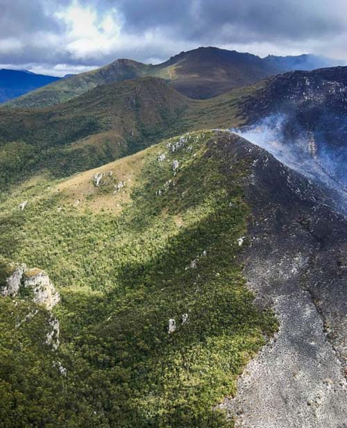
Gell River Fire Tasmania
Gell River Fire. Photo by Andrew MacDonald

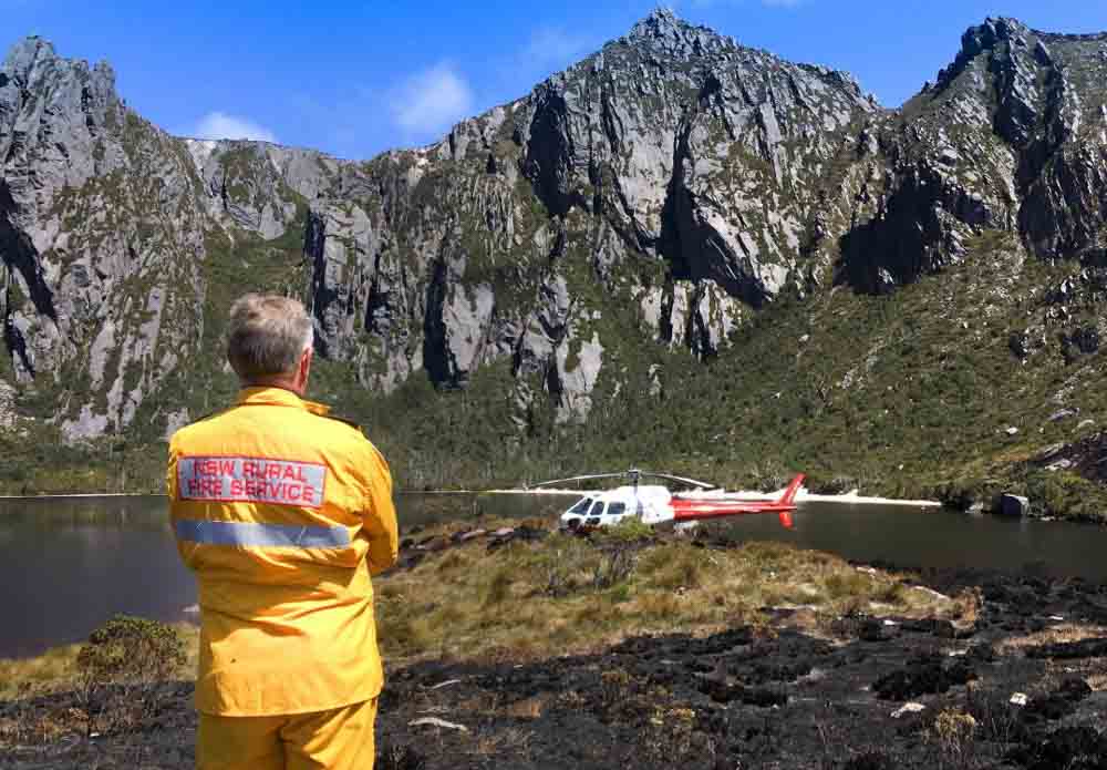
Firefighters in New South Wales have traveled across the Bass Strait to assist their brothers and sisters in Tasmania. The five personnel will be working with the Tasmania Fire Service, specifically on the Gell River Fire in the southwest part of the state. The deployment of five arrived Sunday to assume specialist aviation roles operating out of Hobart and Strathgordon.

Map Gell River Fire in Tasmania, Australia
Map showing the location of the Gell River Fire in Tasmania, Australia.

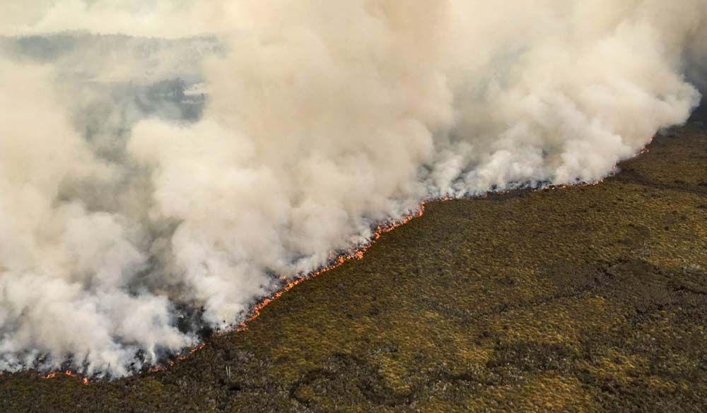
The Gell River Fire has burned 50,600 acres (20,500 ha) primarily in Franklin-Gordon Wild Rivers National Park. Portions of the fire are burning in peat, which means the deep-seated blaze will likely persist for months and continue to produce smoke.

Below is an update on the fire from the Tasmania Fire Service:

The fire continues to burn in buttongrass and mixed forest vegetation in the Vale of Rasselas, approximately 10 kilometres northwest of Tim Shea and along the Denison Range and Gordon Range. A sprinkler line around the northern side of Lake Rhona was successful in protecting fire-sensitive vegetation communities. Fire fighters and aerial water-bombing also managed to protect these vegetation communities in other areas. Specialist remote area fire fighters are working in rugged terrain to extinguish the fire. Although the fire is still uncontained, suppression operations conducted by fire fighters and water bombing aircraft have been successful to date, with many active fire edges minimised. An increase in smoke may be visible in the Greater Hobart area, Derwent Valley and Huon Valley on Tuesday evening and Wednesday due to increased fire activity, particularly at the southern end of the fire. Resources currently deployed to the Gell River bushfire include 60 personnel and eight aircraft. Tasmania Fire Service
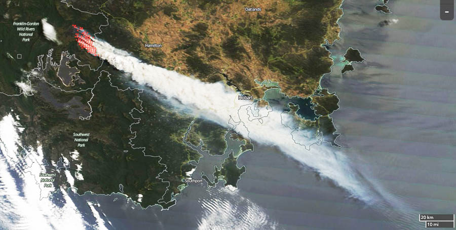
This image of smoke from the Gell River Fire was captured by a satellite on January 4, 2019. Since then the activity has decreased due to a change in the weather. The red dots indicate heat detected by the satellite.
Gell River Fire Tasmania helicopter
Photo by Andrew MacDonald
Gell River Fire Tasmania helicopter
Photo by Andrew MacDonald
Gell River Fire Tasmania
Gell River Fire. Photo by Andrew MacDonald
This image of smoke from the Gell River Fire was captured by a satellite on January 4, 2019. Since then the activity has decreased due to a change in the weather. The red dots indicate heat detected by the satellite.

Large wildfire in Tasmania sends smoke into Hobart

The fire near Gell River has burned over 37,000 acres

A large wildfire that started in the Gell River area in the Australian state of Tasmania has burned more than 37,000 acres (15,000 Ha) mostly in the Franklin-Gordon Wild Rivers National Park. The fire is approaching Lake Rhona and Gordon River and has sent embers into Mount Field National Park. The blaze was burning button grass but has moved into timber and peat areas, which could result in it persisting for months.

Dense smoke that spread toward the southeast heavily impacted Hobart as you can see in this satellite photo.

Tasmania Fire Gell River
Wildfire in southwest Tasmania that started near Gell River, currently burning in Franklin-Gordon Wild Rivers National Park. The red dots indicate heat detected by the satellite. Photo, January 4, 2018.

Paul Black of the Parks and Wildlife Service said, “We’ll be considering further retardant drops, back-burning operations, a lot of water bombing, and hot and cold trailing of the active edge of the fire.”

Clouds and cooler weather moved in and slowed the spread of the fire on January 4.

smoke Hobart Tasmania Fire Gell River
Wildfire smoke from the Gell River Fire impacts Hobart, Tasmania, Australia. Photo by Olivia Hicks.