A recent study published in the Nature Ecology and Evolution scientific journal broke down 21 years of satellite data to be the next in line to reveal a burning truth: extreme wildfire events are becoming more frequent and intense.
The study, led by researchers at Australia’s University of Tasmania, found that six of the past seven years have been among the most extreme wildfire years on record. The study also found the frequency of extreme wildfires more than doubled between 2003 and 2023.
“This study provides concrete evidence of a worrying trend,” lead researcher Dr. Calum Cunningham told the university. “The intensity and frequency of these bushfires are increasing at an alarming rate, directly linked to the escalating effects of climate change.”
The research also confirmed that, while the total area burned is on the decline, fire behavior on the whole has worsened in several regions, including boreal and temperate conifer biomes in North America and Russia. Hotspots were also recorded in Australia, southern Africa, Mediterranean Europe, and South America. The burning of said biomes would reportedly hold dire implications for carbon storage, human exposure to wildfire, and significant ecological damage.
“The impact of these extreme events is devastating, not only for natural ecosystems but also for human populations,” Cunningham said. “These fires release significant carbon emissions, threatening to create a vicious cycle that further accelerates global warming.”

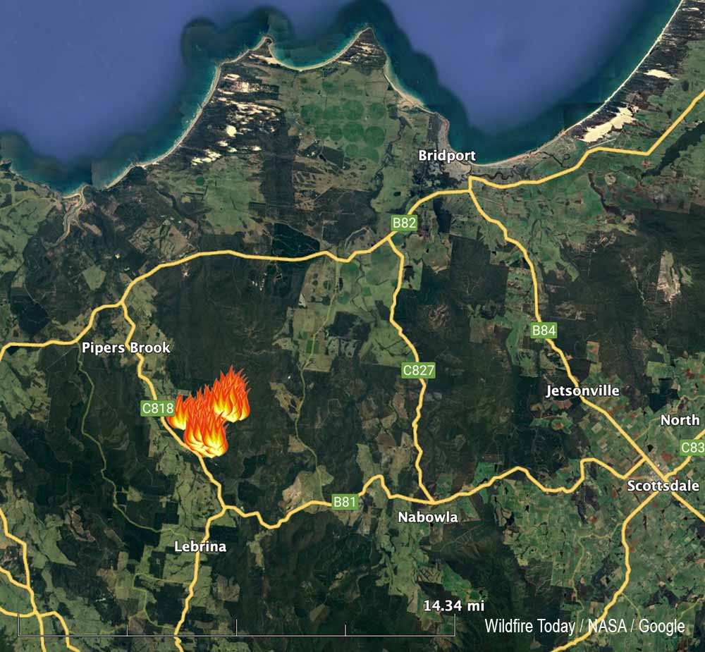
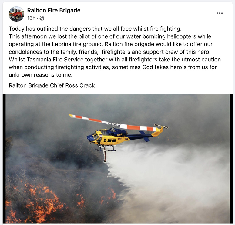
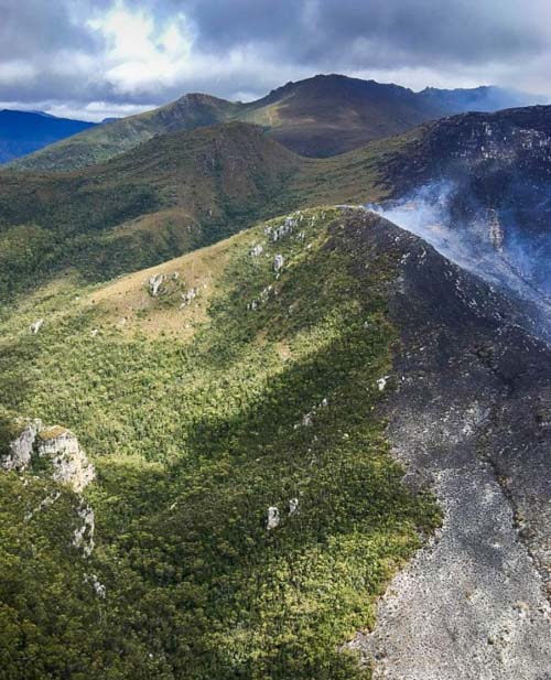
Australia’s “Black Summer” fire season of 2019-2020 was named specifically for its unprecedented scale, intensity, and still-ongoing effects. The most recent “Black Summer” report on the bushfires focused on how they affected the nation’s tourism industry, specifically how previous reports underestimated the financial losses.
“Our novel research into the losses from the tourism shutdown resulting from Australia’s 2019-20 fires found that flowing on from direct impacts of AU $1.7 billion, indirect impacts along supply chains resulted in $2.8 billion in total output losses and $1.6 billion in reduced consumption,” the University of Sydney researchers’ report said. “We calculated significant spill-over costs, with total output losses being an increase of 61 percent on top of the direct damages identified.”
READ MORE: Australia’s ‘Black Summer’ bushfires impact on tourism still being uncovered