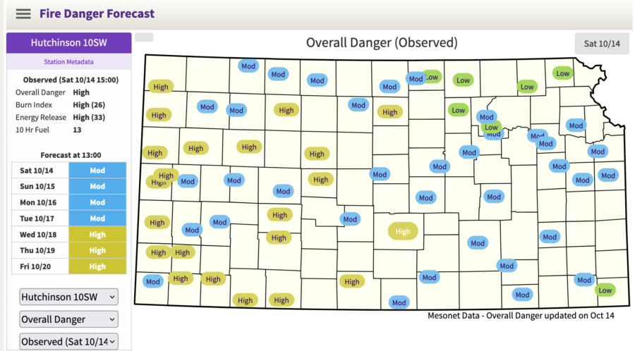
Kansas residents can now easily find their local wildfire risk through a new tool released by the state’s Forest Service.
The Kansas Wildfire Risk Explorer at kansaswildfirerisk.org allows residents to enter an address, city, or specific coordinates into an interactive map to see whether their current risk is low, moderate, high, or extreme. Residents can then generate a report specific to their area, along with precautions they can take to be prepared if a wildfire burns nearby.

“As a homeowner, you are not powerless in your defense against wildfires,” the website says. “By taking a proactive approach to wildfire mitigation, you can significantly increase your safety and your home’s likelihood of survival during a catastrophic wildfire event.”

The tool began development in 2018 in conjunction with Kansas State University as an evolution of the National Fire Danger Rating System (NFDRS), which uses National Weather Service forecasts to predict fire danger.
In addition to wildfire risk, residents can also use the tool to evaluate “Wildfire Effects,” or areas where drinking water, infrastructure, and multiple environmental factors would be adversely affected by wildfires. This layer also shows areas where wildfire suppression would be especially difficult because of steep terrain or very dry vegetation.
The risk viewer also shows historical ignition patterns. This layer doesn’t map probability, but shows where ignition rates and frequency have been higher. The map shows that most ignitions have happened on the outskirts of the state’s most populated cities.
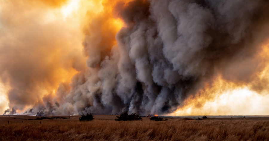
Kansas recorded more than 8,000 wildfires in 2022, about 3,000 more than the state’s yearly average. The last time the state hit its average of ~5,000 wildfires was in 2021 when two people died, 20 people were injured, and over 185,000 acres were burned, according to the Kansas Fire Marshal. Around 95 percent of the state’s wildfires were caused by humans.
