Kansas’ recognition as a top fire state has long been overdue.
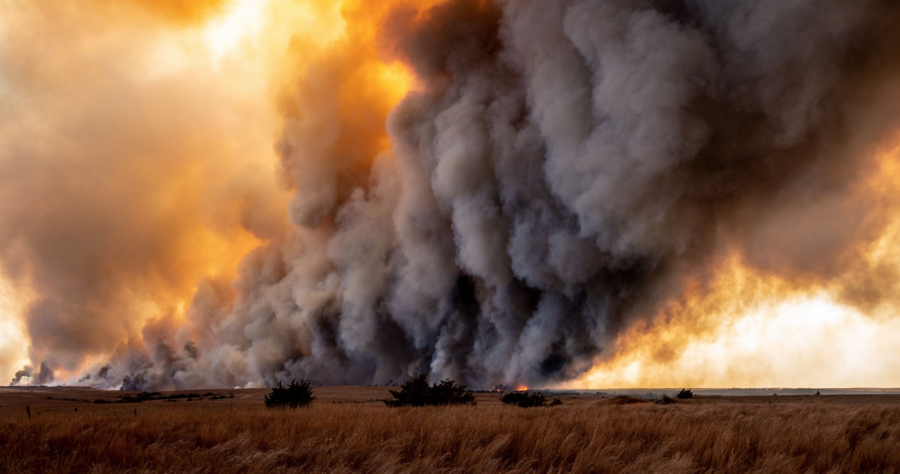
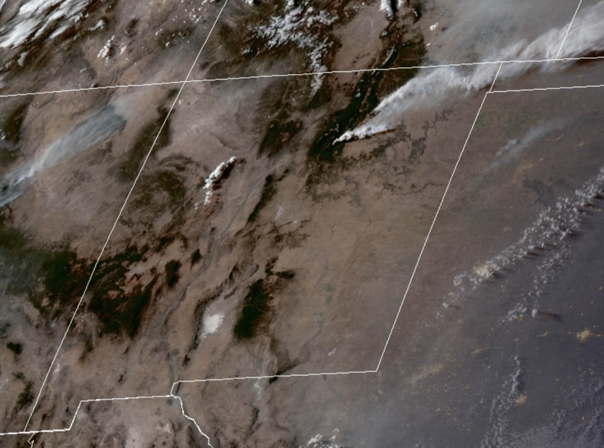
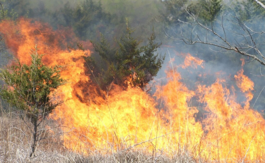
The state experiences at least 5,000 wildfires annually, which ranks it among the top five states for number of wildfire incidents in the country among the likes of Texas, Oregon, and Montana. Kansas is also a top prescribed burning state in acreage, with well over one million acres burned yearly, according to the Coalition of Prescribed Fire Councils.
Despite this, Kansas is far from the first state many think of when wildfires are mentioned. A large reason for this, according to Kansas Forest Service Interim Fire Management Officer Eric Ward, is that wildfires have been chronically underreported throughout the state.
“The lack of reporting has been identified for years as a problem,” Ward said. “The problem is that, unlike many states, wildfires are nearly 100 percent a local responsibility.”
The Kansas Governor’s Wildfire Task Force final report of 2023 estimated that around 30 percent of the state’s wildfires go unreported annually. Ward attributed the underreporting to two aspects of the state: the lack of federally-owned land and the state’s designation as a “Home Rule” state.
In the nation, Kansas has the third-least amount of federally owned land compared with privately owned land, according to a 2020 Congressional Research Service report. Only 253,919 acres of Kansas’ total 52,510,720 acreage, or 0.5 percent, is federally owned. The only other states with such a low federal land ownership are Connecticut and Iowa, both at 0.3 percent.
Additionally, Kansas has been a Home Rule state since 1961 by constitutional amendment, meaning that local jurisdictions, to an extent, have greater autonomy — and state interference in local affairs is limited. Kansas is also a “Dillon’s Rule” state, meaning that local governments only have powers that are explicitly assigned to them.

Because of this combination, the duty of reporting usually falls to local jurisdictions, some of which fail to file the proper paperwork.
“[Kansas Forest Service] supports local fire departments as requested on major incidents, but as a home rule state, the local jurisdiction is still in charge, and responsible for reporting,” Ward said.
“With the vast majority of departments being small volunteer departments, some simply ignore the state law that requires reporting. And no one at any level of government wants to prosecute a local volunteer fire chief for not doing paperwork. So, many simply never get reported.”
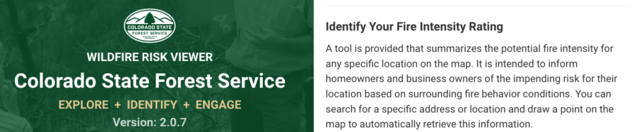
Research suggests Kansas and other wildfire-prone states are projected to have 30 more days per year of extreme wildfire risk in the near future. To meet the current and future wildfire challenges, the state appointed a new State Fire Marshal last November and released a new wildfire risk tool last October. However, until wildfires are accurately reported in the state, Kansas won’t be getting the recognition of a top wildfire state that it deserves.
Kansas’ recognition as a top fire state has long been overdue.
The state experiences at least 5,000 wildfires annually, which ranks it among the top five states for number of wildfire incidents in the country among the likes of Texas, Oregon, and Montana. Kansas is also a top prescribed burning state in acreage, with well over one million acres burned yearly, according to the Coalition of Prescribed Fire Councils.