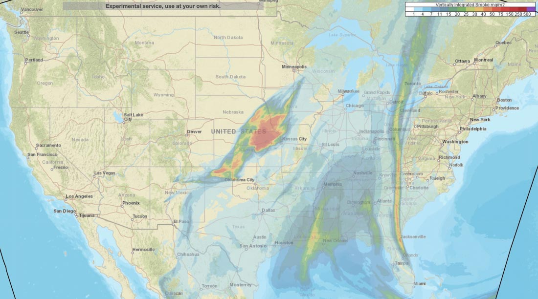
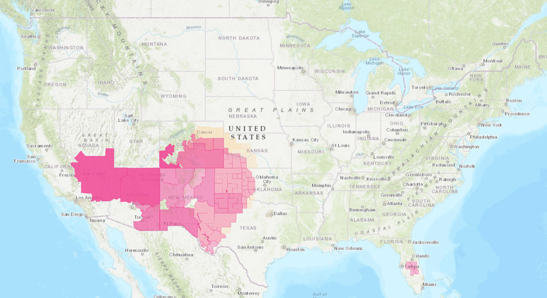
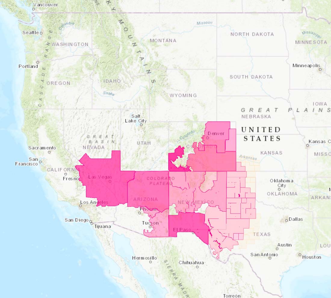
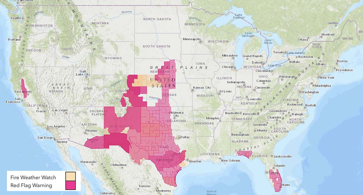
Red Flag Warnings issued for parts of seven states
Red Flag Warnings May 7, 2022. NWS.
Strong winds and dry vegetation predicted for the next several days are raising the wildfire danger to the elevated and critical levels across much of the southwest. Areas affected by Red Flag Warnings include parts of Nevada, California, Arizona, New Mexico, Texas, Colorado and Kansas. (Southern Utah was somehow not included in the Red Flag Warnings.)
From the National Weather Service at 12:59 a.m. MDT May 7, 2022:
“The first in a series of active fire weather days is expected to unfold across the Southwest into the southern High Plains today. A broad upper trough will gradually amplify across the western CONUS, and surface low development will occur over the central High Plains this afternoon. Gradient flow and downward momentum transport support widespread 20+ mph sustained westerly surface winds, from the Nevada/Arizona border into the southern High Plains. 5-15 percent RH will coincide with this strong wind field for several hours during the afternoon, warranting the introduction of fire weather highlights. Critical highlights are in place where the aforementioned surface winds/RH will overlap with critically dry fuels (i.e. forecast ERCs [Energy Release Component] approaching or exceeding the 90th percentile)”
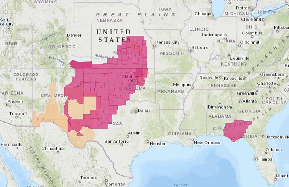
The National Weather Service has issued Red Flag Warnings in 9 states April 9, 2022.
The map represents the forecasts from multiple National Weather System offices at 7:50 a.m. MT April 9, 2022. The predictions are subject to change throughout the day.
The National Weather Service has issued Red Flag Warnings in areas of 11 states April 6, 2022 for winds, depending on the location, gusting at 35 to 60 mph and relative humidity in the single digits, teens, or twenties. In addition, most of the Northern Plains is under a High Wind Warning.
Red Flag Warnings, April 6, 2022. The text in the map shows the various warnings for Southern Nebraska.
Heat and Wind Advisories are in effect for areas near the Southern California coast.
Southern California heat and wind advisories near the coast, April 6, 2022. A Red Flag Warning is in effect for the area where California, Nevada, and Arizona meet along the Colorado River. NWS.
The maps represent the forecasts from multiple National Weather System offices at 11:50 a.m. CT April 6, 2022. The predictions are subject to change throughout the day.
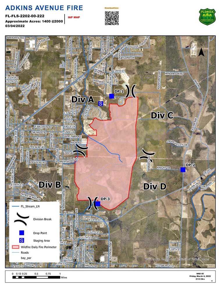
A fire on the east side of Panama City, Florida prompted the evacuation of about 600 homes, according to the Florida Forest Service (FFS). As of Friday evening the Adkins Avenue Fire had burned 1,400 acres in Bay County between U.S. 231 and Tram Road, west of North Star Avenue. The blaze is fueled by vegetation that was affected by Hurricane Michael in 2018.
Friday night the FFS reported that two structures have been destroyed and another 12 were damaged.
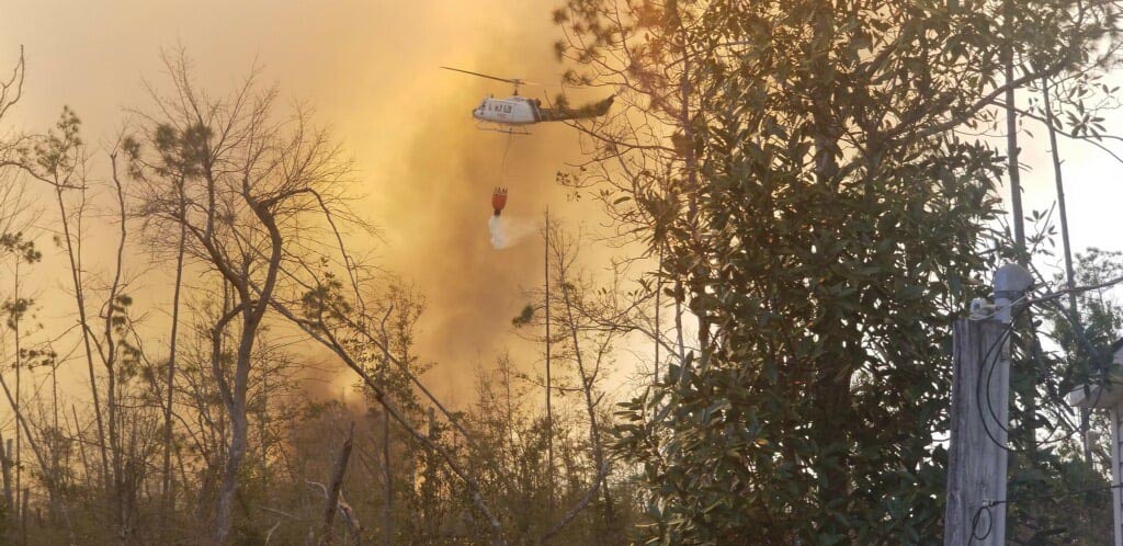
Helicopter drops water on the Adkins Avenue Fire. Photo: Bay County Emergency Services.
At least 200 personnel are committed to the fire including 12 tractor plows and multiple helicopters along with fire personnel from local and county departments.
Red Flag Warnings, March 5, 2022. NWS.
The area is under a Red Flag Warning until Saturday evening for 10 to 15 mph southeast winds gusting to 25 mph with relative humidity of 25 to 45 percent.