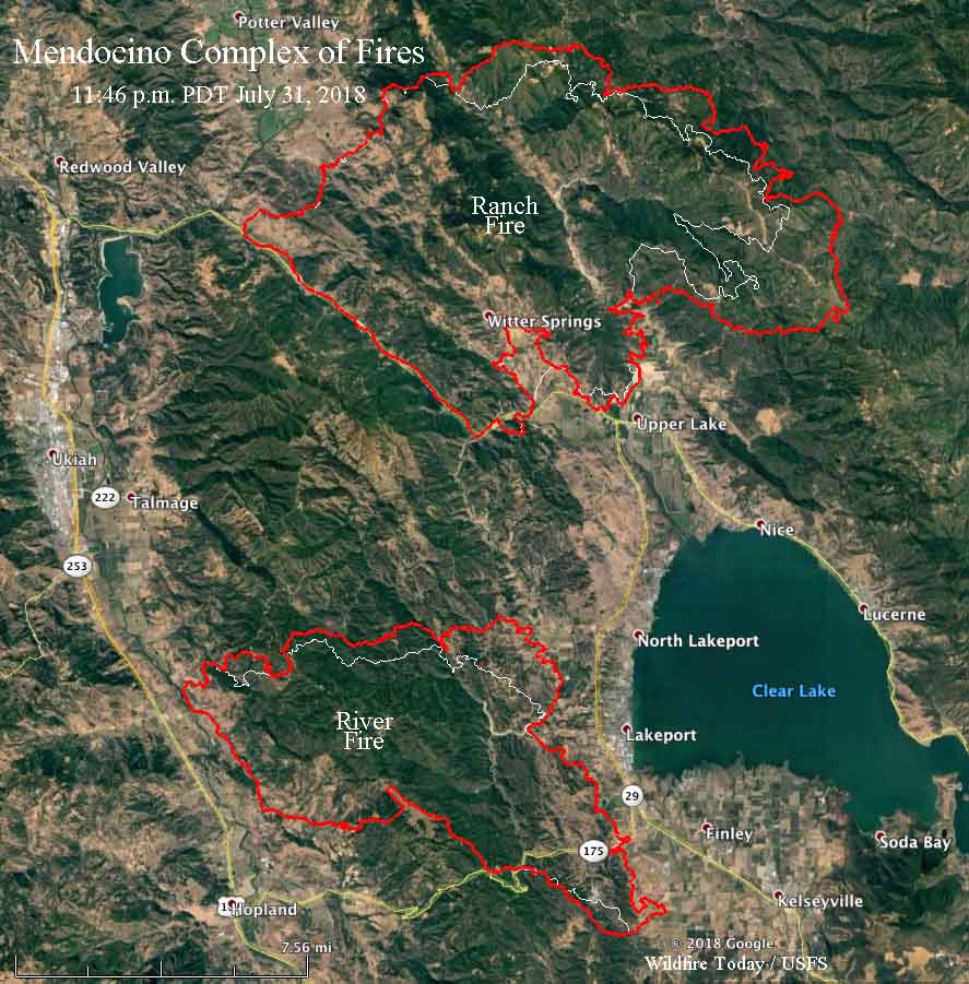
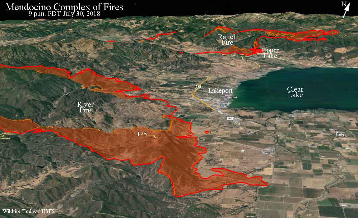
ABOVE: Map showing the perimeter, in red, of the east side of the River Fire (part of the Mendocino Complex of Fires) at 11:46 p.m. PDT July 31, 2018. The white line was the perimeter about 24 hours before.
(Originally published at 10 a.m. PDT August 1, 2018)
Tuesday afternoon winds pushed the two blazes that comprise the Mendocino Complex of Fires farther east, both spreading for at least a mile. The Ranch Fire moved into sparsely populated areas, but the River Fire ran through an area with scattered ranches northwest of Lakeport, California. Media personnel on scene said the fire was especially intense near Dessie Drive and Hendricks Road. CAL FIRE said Wednesday morning that a total of 10 residences have been destroyed in the two fires, but it is not clear if that number includes what could be additional losses late in the day on Tuesday.
To see all of the articles on Wildfire Today about the Mendocino Complex of Fires, including the most recent, click HERE.
Firefighters were extremely busy Tuesday in that wildland-urban interface as the fire raced through the populated areas. They were protecting structures, then getting chased out by flames, and reestablishing a defense at another structure.

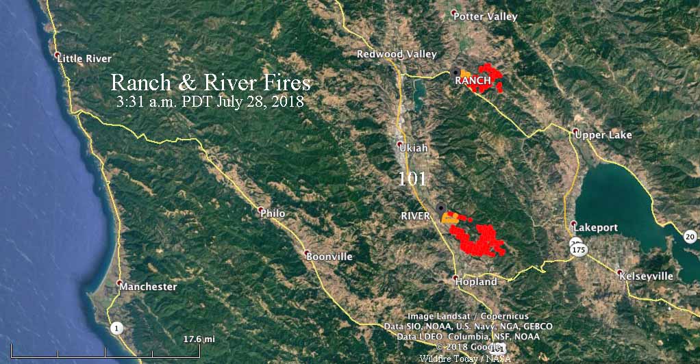
Both fires started in Mendocino County but burned into Lake County. The Ranch Fire is now also well established in the Mendocino National Forest.
According to the numbers CAL FIRE released Wednesday morning, the two fires have burned 90,912 acres; 59,019 on the Ranch Fire, and 31,898 on the River Fire.
As usual, Kent Porter got some fabulous shots of the River Fire Tuesday:
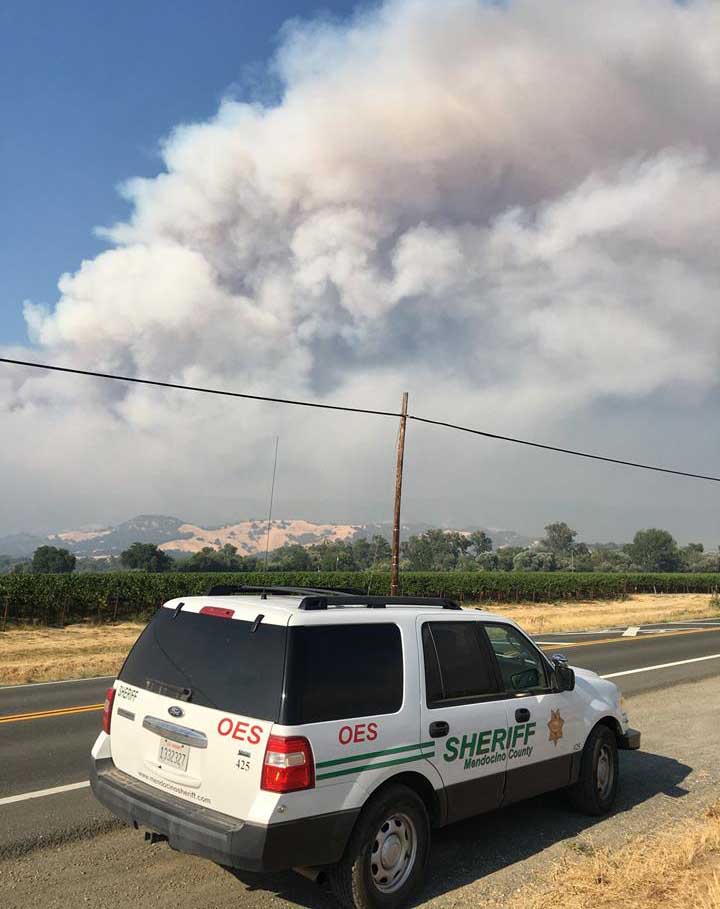
The #Riverfire blew in to Scotts Valley Tuesday off of Cow Mountain devouring structures on its way. A Pyrocumulus cloud also developed from the #Ranchfire as helicopters were used in the fight on the River. @NorthBayNews pic.twitter.com/zrr5x5I8k2
— Kent Porter (@kentphotos) August 1, 2018
Just disengaged from the #mendocinocomplex to take a breather in deserted Lakeport. Some of the most intense wildland urban interface firefighting I’ve seen in 100 fires. Fire behavior I saw today is terrifying, there is little to stop it other than fire front following.
— Stuart Palley (@stuartpalley) August 1, 2018
Below, a CAL FIRE Battalion Chief explains how they fight fires when you don’t have enough resources. Basically, you protect lives and private property first, then as time and resources permit, deal with the part of the fire that is burning in remote areas.
Limited Resources, Unlimited Fire. CAL FIRE Makes Compromises. #MendocinoComplex https://t.co/IeMXmr9lAz
— Wilson Walker (@WilsonKPIX) August 1, 2018


