Above: Precipitation received at RAWS weather stations in northwest Montana in the 24 hours before 9:42 a.m. September 15, 2017. The amounts range from a few hundredths to almost half an inch.
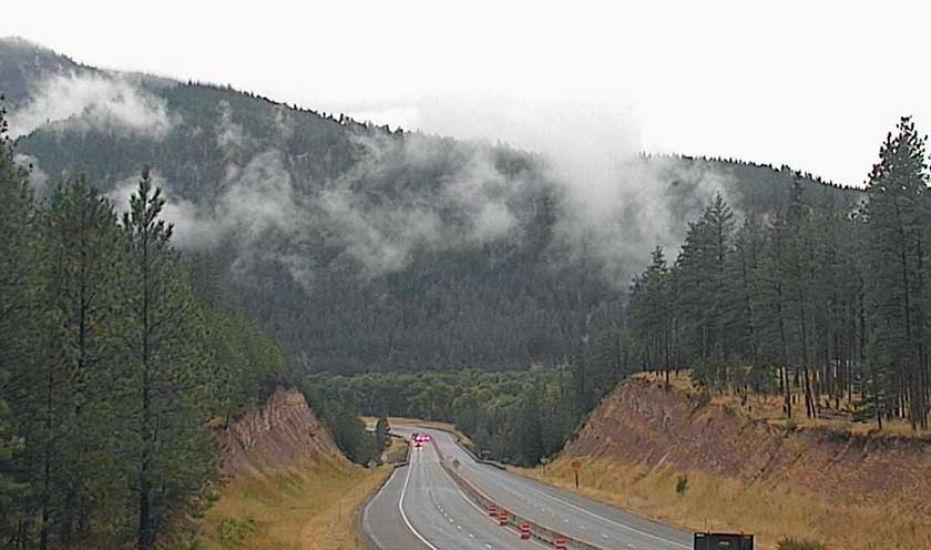
Western Montana and the northern Great Plains are receiving some much needed moisture that will slow the spread of dozens of large fires in the area, some of which have been burning for more than a month and a half.
The Rice Ridge Fire has spread over 155,000 acres just east of Seeley Lake 35 miles northeast of Missoula, Montana since it was discovered July 24. The incident management team reported Thursday evening that the east side of the fire had received a quarter of an inch of rain. A weather station just northeast of the community of Seeley Lake recorded 0.05″ overnight, and the forecast calls for another quarter of an inch at that location on Friday.
A weather station near the 53,000-acre Lolo Peak Fire south of Missoula recorded 0.16″.

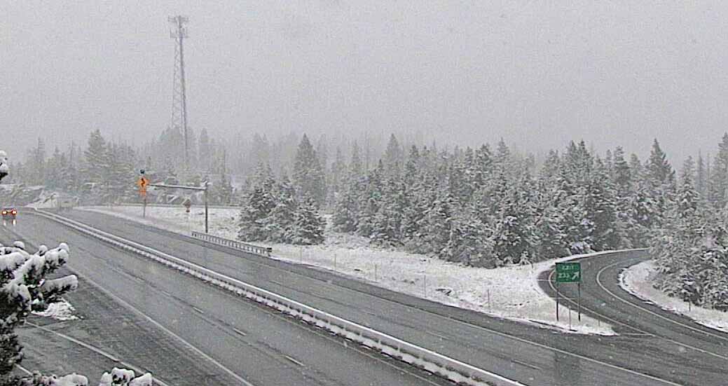
Some of the higher elevations in western Montana are receiving snow.

Firefighters are “backhauling” equipment on the Rice Ridge Fire, collecting items that are no longer needed and taking them back to the incident base, such as fire hose, water pumps, and portable tanks.
Most of the weather stations in the southern Black Hills where the Beaver and Rankin Fires are burning have received about a third of an inch of rain as of 10 a.m. on Friday, but one station northeast of Newcastle, WY measured almost three-quarters of an inch. Some firefighting resources, including crews and engines, were released from these two fires late in the day Thursday.

