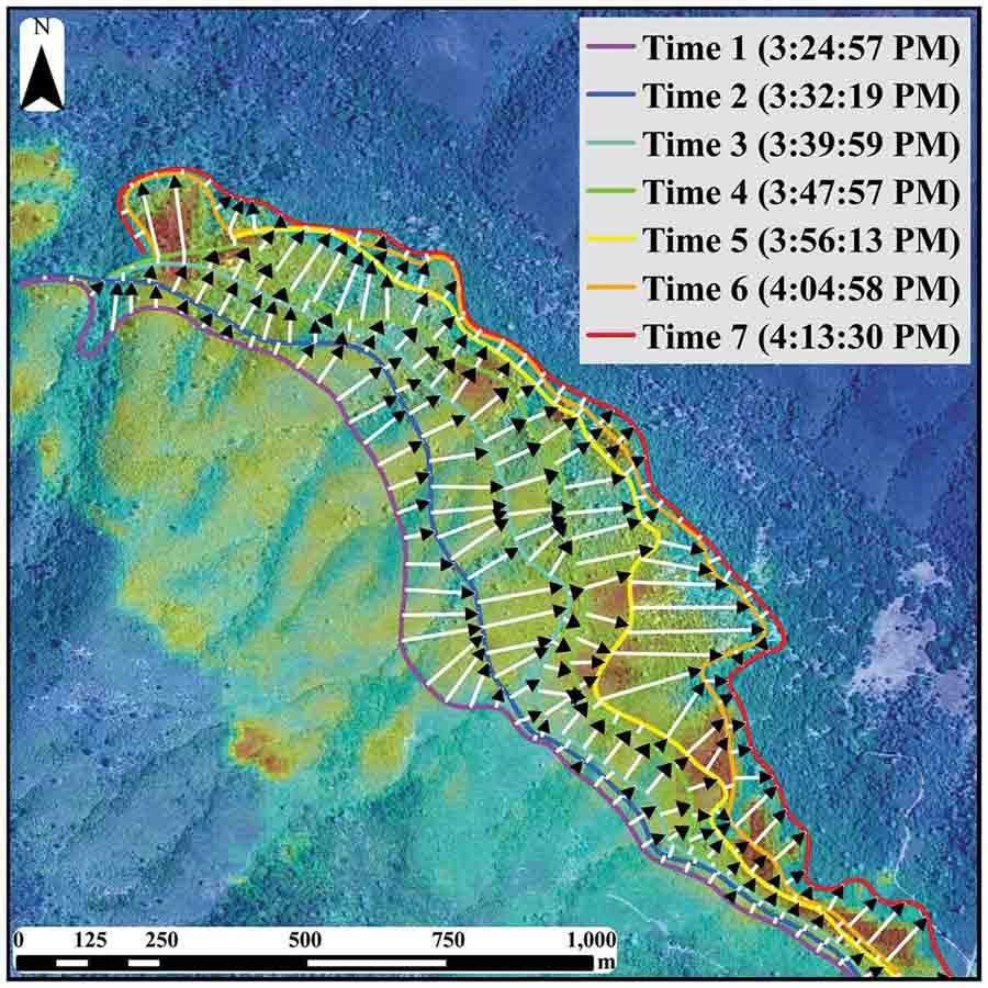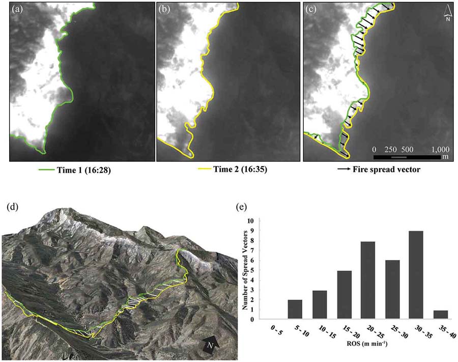
Now that federal land management agencies are being forced by an act of Congress to begin providing to fire managers the real time location of fires and firefighting resources, it opens a range of cascading benefits beyond just enhancing their safety and situational awareness.
Fire Behavior Analysts that could continuously observe the fire with infrared video from a manned or unmanned aircraft orbiting above the air tankers could make much more accurate, valuable, and timely Fire Behavior Forecasts. The fire spread computer models could be fine-tuned to be more accurate and their outputs could be displayed on the map along with the locations of firefighters who carry tracking devices, enabling the Operations Section Chief to make better-informed strategic and tactical decisions.
But until recently it was not known if georeferenced infrared imagery from an orbiting aircraft was accurate enough to be used for determining the rate of spread.
The short answer is, yes. A paper published last week indicates that the accuracy is sufficient. (FYI — the document is written for other scientists and not for practitioners.)
Now the question becomes, will the federal land management agencies actually implement the program to track the real-time location of fires and firefighters, or will they slow-walk it into oblivion like the Congressional orders to purchase a new air tanker, convert seven HC-130H Coast Guard aircraft into air tankers, and the repeated requests from the GAO and Inspector General to provide data about the effectiveness of firefighting aircraft?

Unfortunately even though United States taxpayers funded the research through the U.S. government’s National Science Foundation (grant number G00011220), only some of us will be able to read the fruits of the research since it is not an Open Access document. After it is viewed 50 times free access will be shut off.

It is published at Taylor and Francis Online, a private company based in the United Kingdom. So by the time you read this the company may be charging people to read the document. (UPDATE at 7:42 a.m. MST February 21, 2019: General access to the document has been shut off. The company is now charging $50 to view it for 24 hours.)
Not allowing taxpayers to read government funded research unless they pay for it again is reprehensible.
The document is at Taylor and Francis Online: Assessing uncertainty and demonstrating potential for estimating fire rate of spread at landscape scales based on time sequential airborne thermal infrared imaging. By: Douglas Stow, Philip Riggan, Gavin Schag, William Brewer, Robert Tissell, Janice Coen, and Emanuel Storey

“Not allowing taxpayers to read government funded research unless they pay for it again is reprehensible.” You absolutely hit the nail on the head!!!