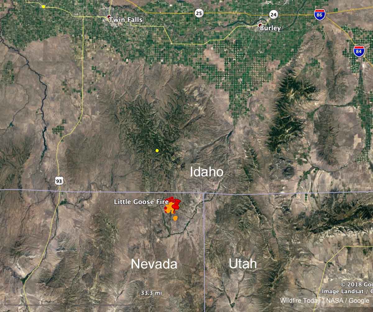
A fire that was reported at 6:23 p.m. Sunday August 4 in the Northeast corner of Nevada has been burning vigorously on Monday. Heat detected by a satellite at 1:36 p.m. (see map above) showed it to be moving north and had spread to within a mile of the Nevada/Idaho border. In later satellite photos it appeared to have approached the border and was generating pyrocumulus clouds. By the time you read this there is a good chance it will have burned into Idaho.
The BLM reported at about 6 p.m. Monday that it was a full suppression fire and had burned 3,500 acres.
At various times it was called “Goose Fire” and “Little Goose Fire”. Just plain “Goose Fire” seemed to be winning out by late Monday afternoon.
As anticipated, fire plumes are becoming evident on satellite this afternoon. This one is the Goose or Little Goose right on the border of Nevada/Idaho. #idfire pic.twitter.com/sjdJICsq3x
— NWS Pocatello (@NWSPocatello) August 5, 2019
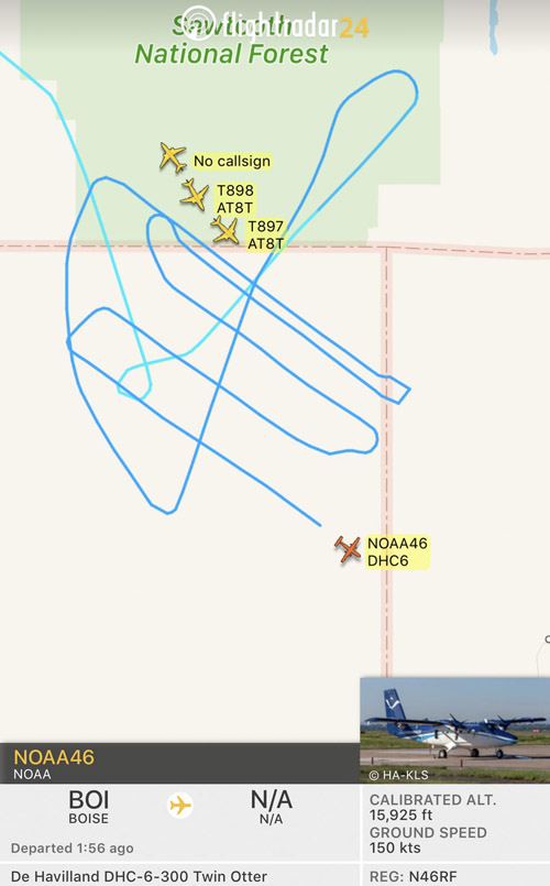
At about 4:40 p.m. MDT FlightRadar showed four single engine air tankers from Twin Falls and Tanker 911, a DC-10 from Pocatello, flying in the vicinity of the Goose Fire. A NOAA research Twin Otter also showed up, flying a grid pattern — NOAA46 (N46RF), that was most likely analyzing the atmosphere over the fire. NOAA has a fleet of nine aircraft that conduct airborne environmental data gathering missions. Later after the first NOAA Twin Otter departed, another NOAA Twin Otter was over the fire, NOAA48.

