(UPDATED at 5:20 a.m. PDT August 4, 2018)
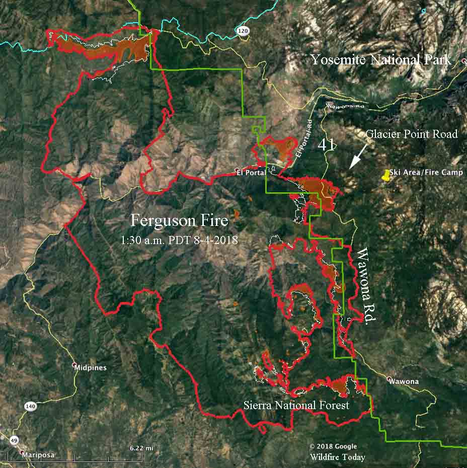
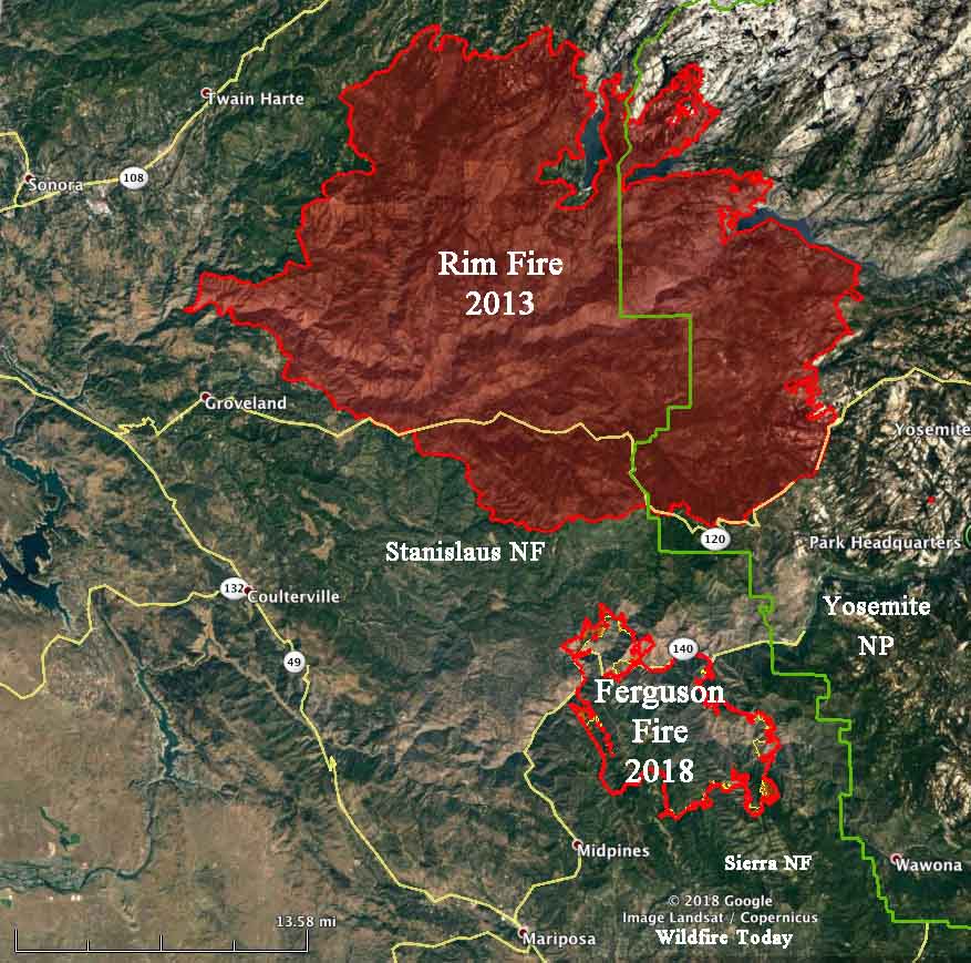
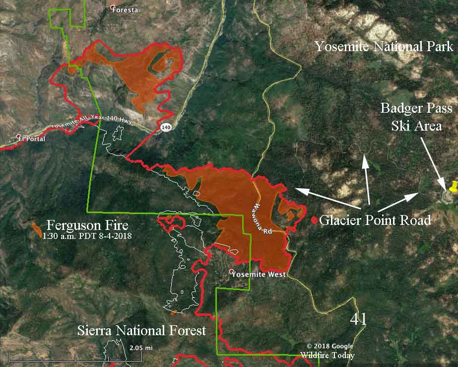
These two maps of the Ferguson Fire at Yosemite National Park in California include the latest perimeter data collected by a fixed wing aircraft at 1:30 a.m. PDT August 4, 2018.
Friday afternoon the fire spotted across two highways running for almost a mile in both places — east of Highway 41 at Glacier Point Road, and across Highway 140 below Foresta. The slop over across 41 was approximately 200 acres at 1:30 a.m. PDT on Saturday. About half of that crossed over Glacier Point Road.
Below is an excerpt from a Friday evening update by the incident management team:
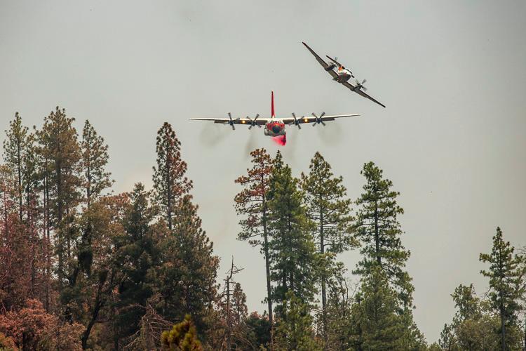
The Ferguson Fire grew by 3,647 acres throughout the day and was at 77,207 acres as of 6 p.m. Containment is at 41 percent. Firefighters worked throughout the day on a spot fire that jumped the Merced River early this morning and is burning in the Crane Creek drainage southwest of Foresta. Aircraft dropped water and retardant in support of firefighters.
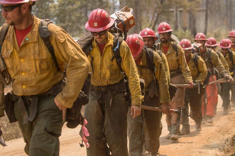
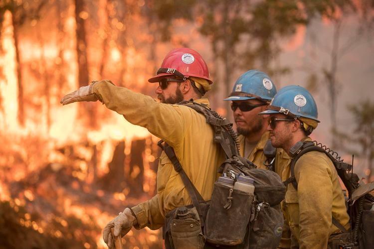
Bulldozers and hand crews built containment lines between the fire and Foresta. Engines and crews remained in Foresta for structure protection. While Yosemite Valley was not in imminent danger, dangerous road conditions, smoke and a loss of power prompted Yosemite National Park officials to evacuate the area until further notice.
Later in the afternoon, another spot fire emerged west of Wawona Road (Highway 41) and began advancing toward Badger Pass. Evacuations were issued along Highway 140 out of concern that shifting winds overnight could bring the fire back into the communities.
On the north side of the fire, crews completed tactical firing along Pilot Ridge on the Mariposa-Tuolumne county line. They will perform firing operations south along the 13 Road as weather allows to fully contain the fire’s northern perimeter.
(To see all articles on Wildfire Today about the Ferguson Fire, including the most recent, click HERE.)
(UPDATED at 7:17 p.m. PDT August 3, 2018)
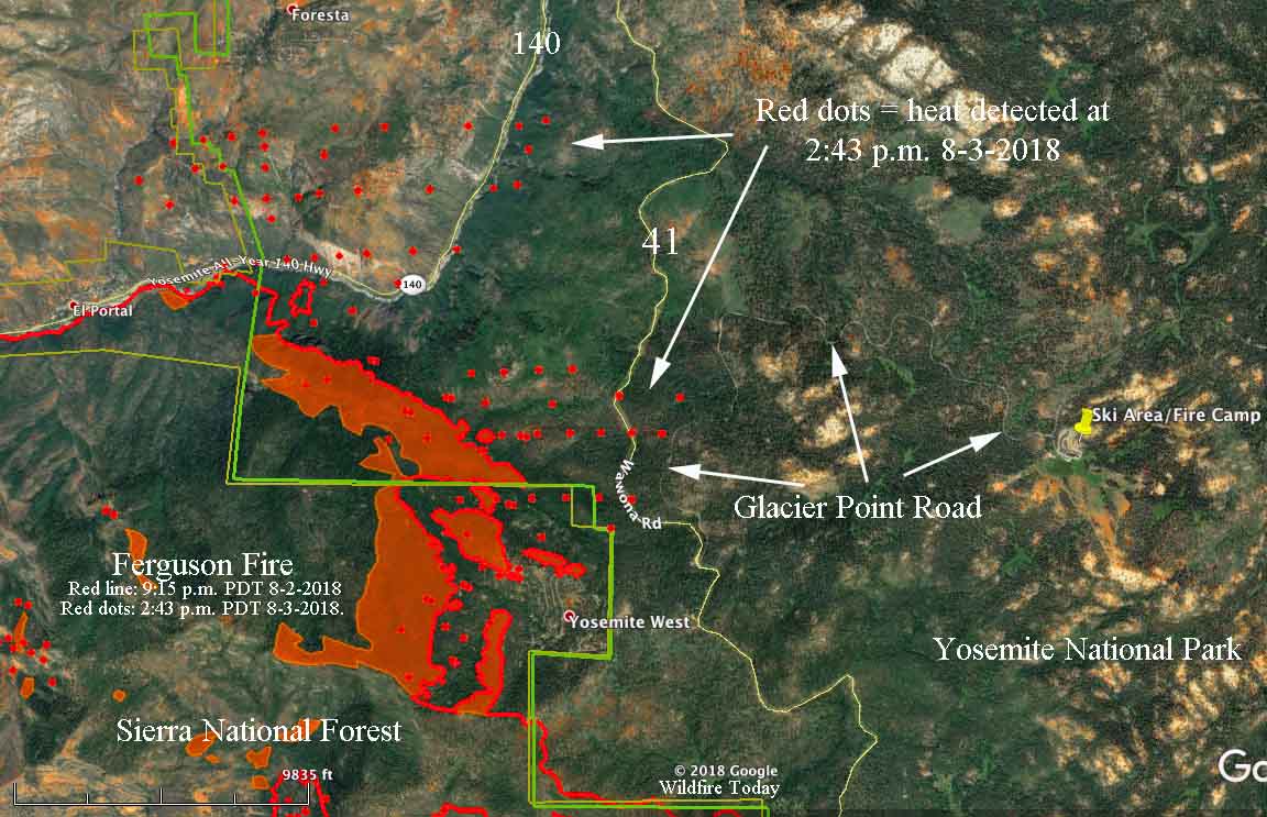
The satellite heat sensing data from 2:43 p.m. PDT August 3, 2018, represented by the red dots, can be seen in the map above. It shows heat where the Ferguson Fire, at Yosemite National Park in California, crossed Highway 41 near Glacier Point Road, and Highway 140 south and southeast of Foresta.
We hope to have an updated map Saturday morning. Continue reading “Ferguson Fire spreads across Highway 41, moves deeper into Yosemite”


