12:52 p.m. Dec. 17, 2021 CST

The Kansas Army National Guard mobilized Blackhawk helicopters to assist firefighters battling a rash of wildfires that began Wednesday. The very strong winds gusting to 80 mph made it impossible for any aircraft to work the fires until Thursday when the wind speeds decreased. A weather station at the Russell Airport recorded wind gusts of 100 mph, which is 26 mph higher than the minimum speed for a Category 1 hurricane.
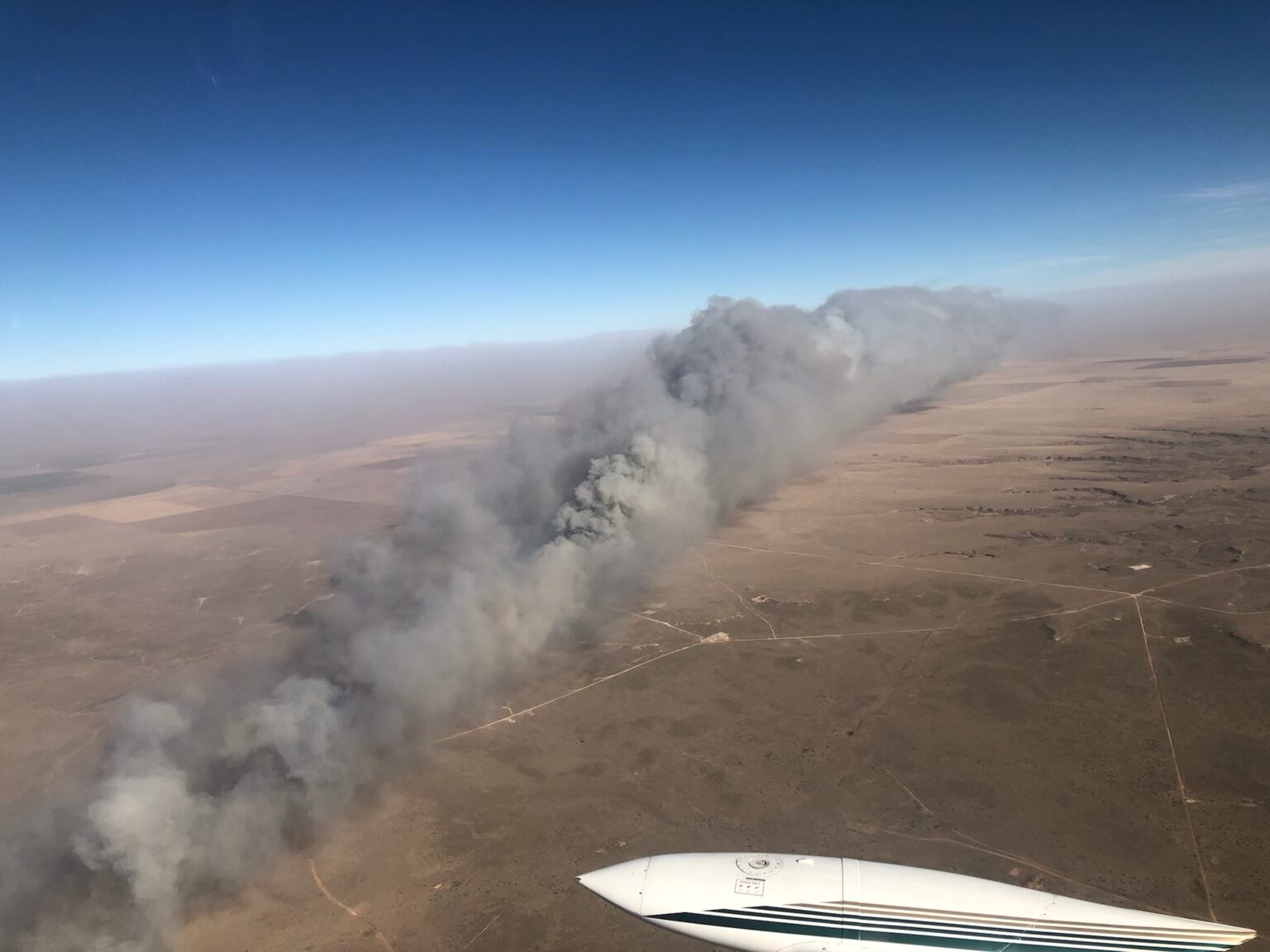
The Kansas Forest Service said Thursday that 11 large fires burned nearly 400,000 acres this week in the state which is entering its dry season while the extreme western part is impacted by drought. The agency reported that the largest fire, dubbed for now the “Four Counties Fire” which is in portions of four counties between Codell and Russell, burned approximately 365,000 acres. The map below shows the fire at about 270,000 acres.

Some of the fires are still burning, but not with the speed and intensity seen on Wednesday. The weather forecast for Russell, KS Friday calls for north-northwest winds 8 to 14 mph with gusts to 23 mph, with relative humidity in the mid 30s. Friday night and until Saturday afternoon the winds will be 14 to 18 mph out of the north-northwest with gusts up to 26 mph. Saturday afternoon the humidity will drop into the mid 20s. These conditions will make it difficult for firefighters to put the fires to bed.
Kansas Gov. Laura Kelly issued a declaration of a State of Disaster Emergency on Thursday, Dec. 9 due to elevated dangers of wildland fires.
“Much of Kansas is recovering from yesterday’s storms and wildland fires,” said Mark Neely, State Fire Management Officer, Kansas Forest Service on Dec. 16. “The Kansas Forest Service is working with state and local partners to get fires under control and mopped up so that we can return to normal conditions.”
In a fire outbreak of this size, it can be difficult to keep track of numerous simultaneous incidents, and that is the case this week.
“In Kansas, local officials retain full control of all emergencies, so State agencies receive information as local authorities choose to provide it,” the Kansas Forest Service reported Friday. “It is believed that several of the fires are fully or mostly contained, several will require several more days of work, but details from local officials are still very slow to come in. Additionally, tornadoes, severe winds, dust storms, etc., created havoc nearly statewide.”