(UPDATED at 7:07 p.m. MT, June 26, 2015)

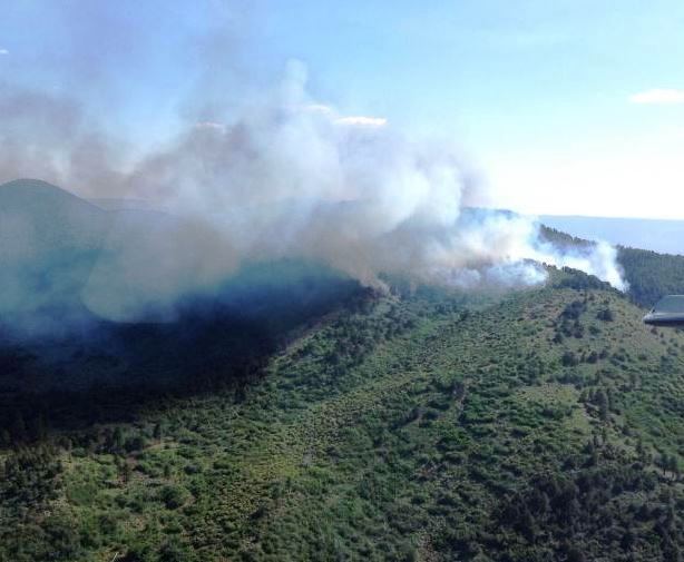
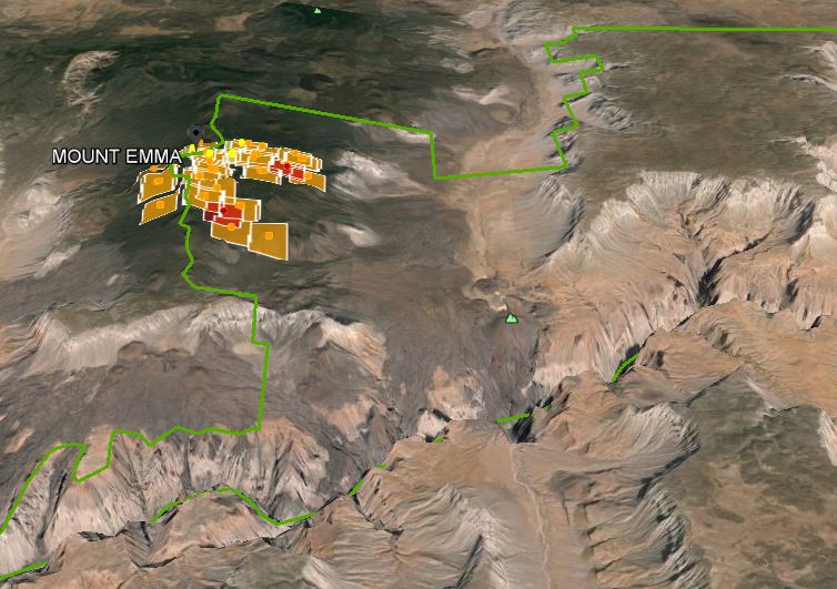
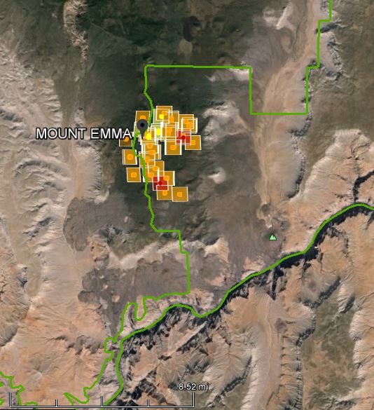
The lightning-caused Mount Emma Fire started June 24 in the Grand Canyon-Parashant National Monument in northwest Arizona and has burned into Grand Canyon National Park. The 2,043-acre fire is in a very remote area 60 miles west of the facilities at the North Rim which are at the south end of Highway 67.
Resources on the fire include one load of smoke jumpers, one hot shot crew, one Type 2 initial attack crew, and one Type 3 helicopter. The fire is burning in open Ponderosa pine and pinyon-juniper.
Fire managers are using both direct and indirect approaches for fire suppression on the Mt. Emma fire.
“This is a suppression fire that we are taking action on with resources on the ground,” said BLM Public Affairs Officer Rachel Carnahan. “We’re using both indirect and direct suppression tactics on this fire which is necessary in this kind of remote, rugged terrain. Access to the fire is difficult so we’re working to balance fire fighter safety—which is paramount—with feasible suppression tactics.”


