Updated 8:23 p.m. PDT Sept. 7, 2022
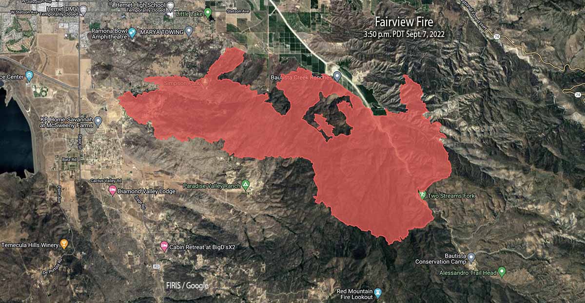
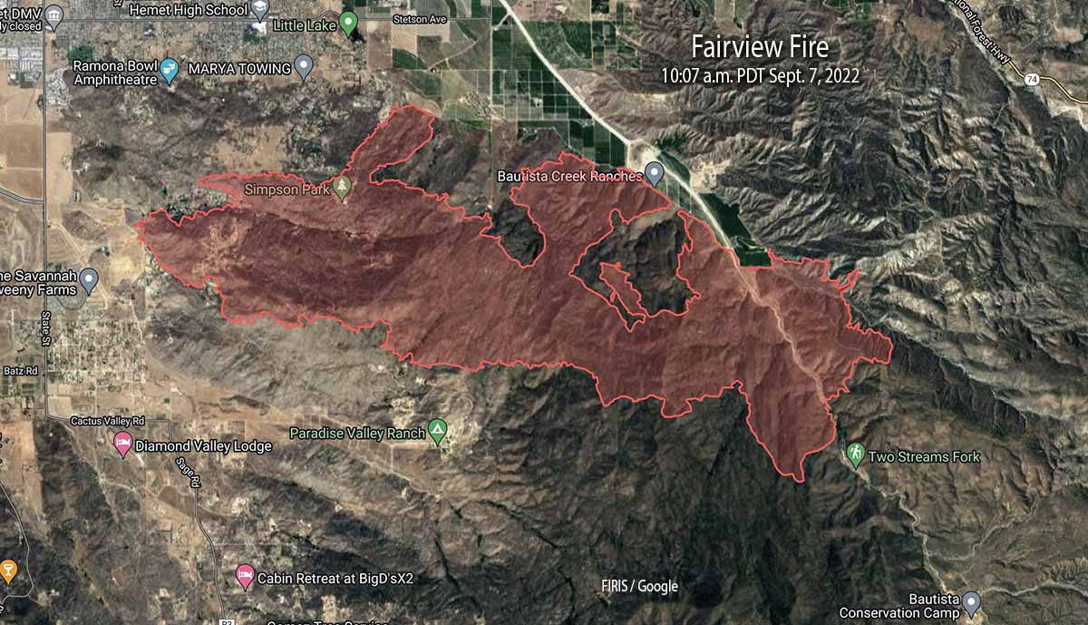
When the Fairview Fire was mapped at 3:50 p.m. Wednesday most of the recent growth was on the east side, on both sides of Baustista Canyon Road. The FIRIS aircraft determined that it was 9,840 acres.
Updated at 1:52 p.m. PDT Sept. 7, 2022
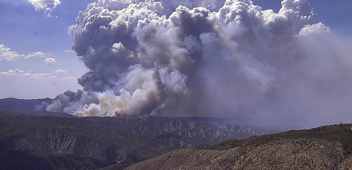
Updated 12:58 p.m. PDT Sept. 7, 2022
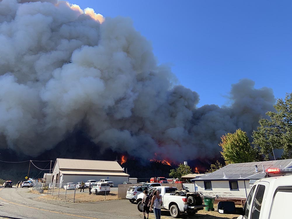
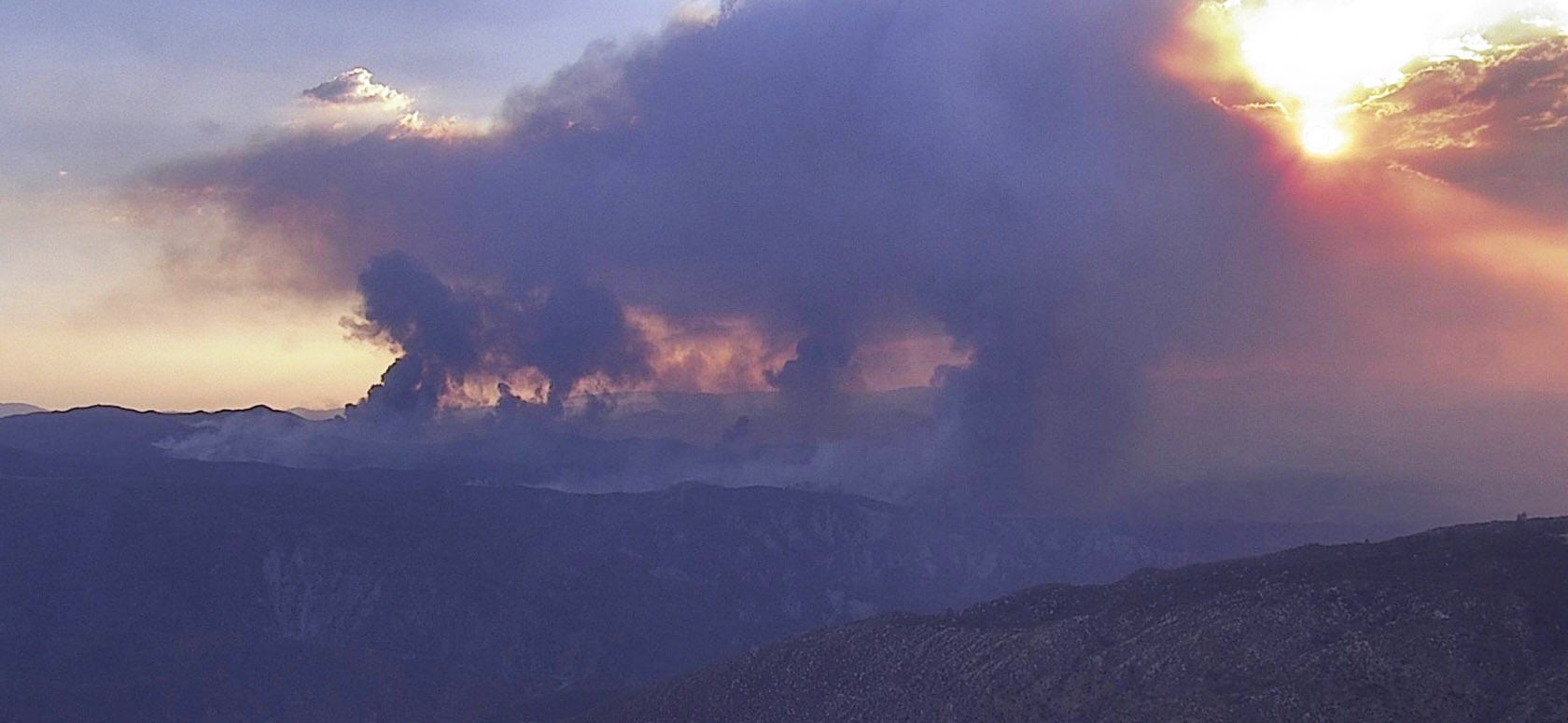
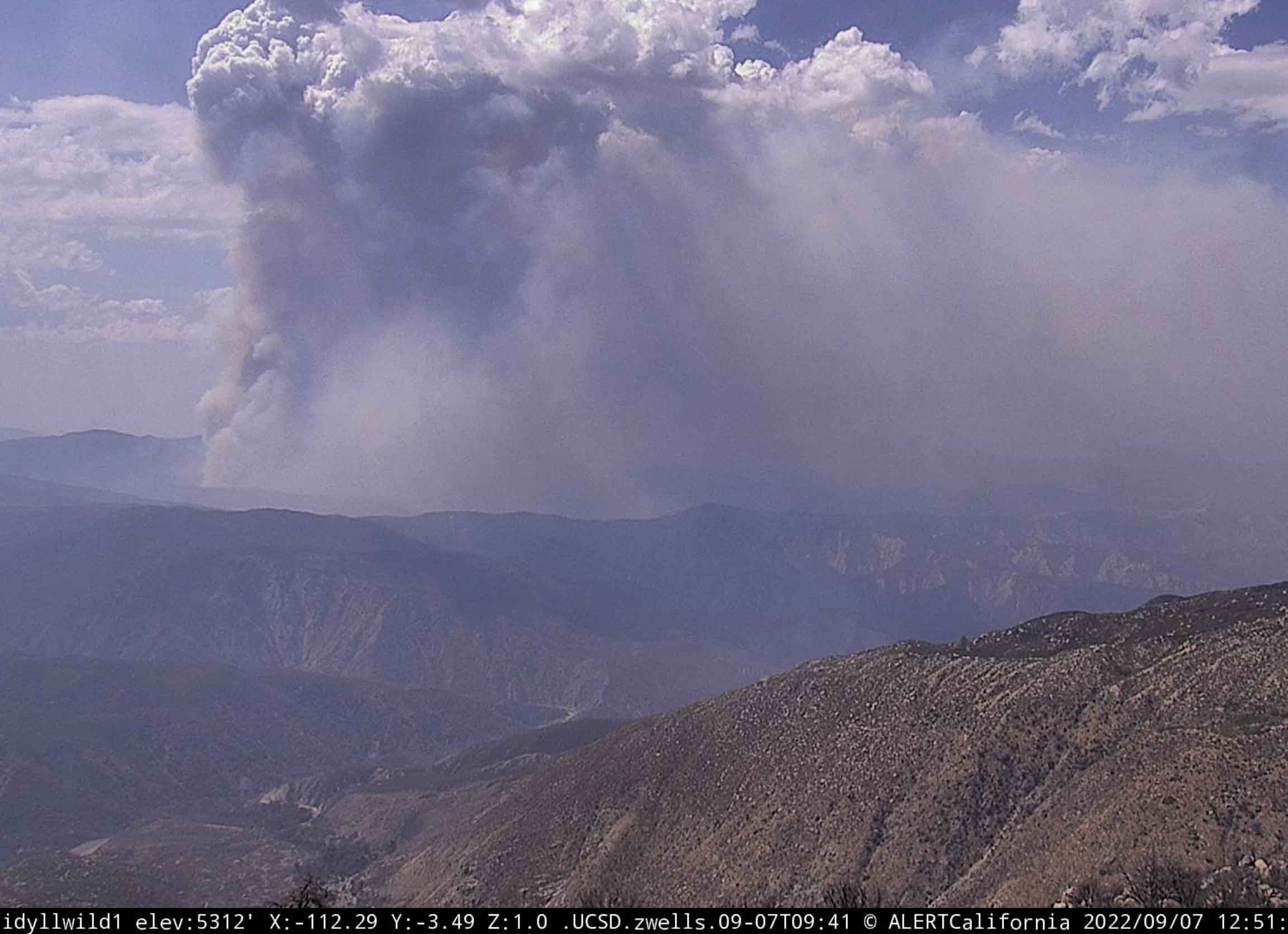
Wednesday morning CAL FIRE said the Fairview Fire southeast of Hemet, California has grown to 7,091 acres. Activity on the fire began to increase at around noon on Wednesday as you can see in the photo below.
Much of the spread over the last 24 hours was on the north and east sides. It reached Baustista Canyon Road in several places where the additional spread was stopped by agricultural land. But at Blackburn Canyon there was nothing but brush on both sides and it spotted across the road. When the fire was mapped at 10:07 Wednesday morning it had run east beyond the road for nearly a mile through rugged country. At that time it was about three miles west of Highway 74.
On the west side of Baustista Canyon Road where it burned across, is the fire scar from the 2019 Fairview Fire which blackened 1,740 acres. That three-year old footprint was not a major barrier. Nor was, on the east side of the road, two fires from 2001, the 181-acre Baustista Fire and the 262-acre Canyon Fire.
Following those barriers of little consequence there is no recent fire history to the east of the Fairview Fire until it reaches Highway 74 and the Mountain Center Area where the 2018 Cranston Fire burned 13,229 acres, and further to the north, the 2,410-acre Cottonwood Fire of 2009.
Continue reading “Fairview Fire: two dead, thousands of acres burned south of Hemet, California”

