August 15, 2020 | 10 a.m.

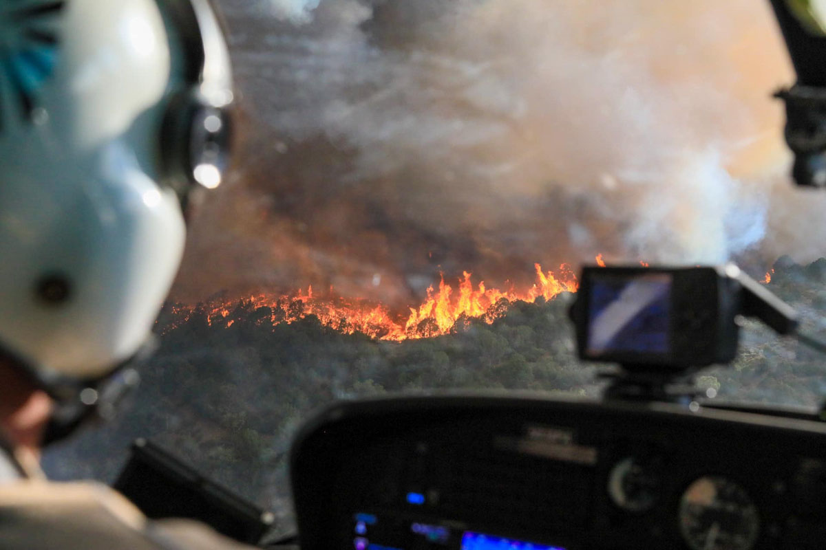
A week ago when I was talking with a colleague about the national wildfire situation we agreed there was a “lull” in the action. With new fires in California and Colorado since then, that has changed.
In southern California on August 12 the Lake Fire west of Lancaster grew large enough 29 minutes after it was reported to create pyrocumulus clouds above the smoke column. Three hours later it was 10,000 acres and Friday had blackened at least 17,000 acres.
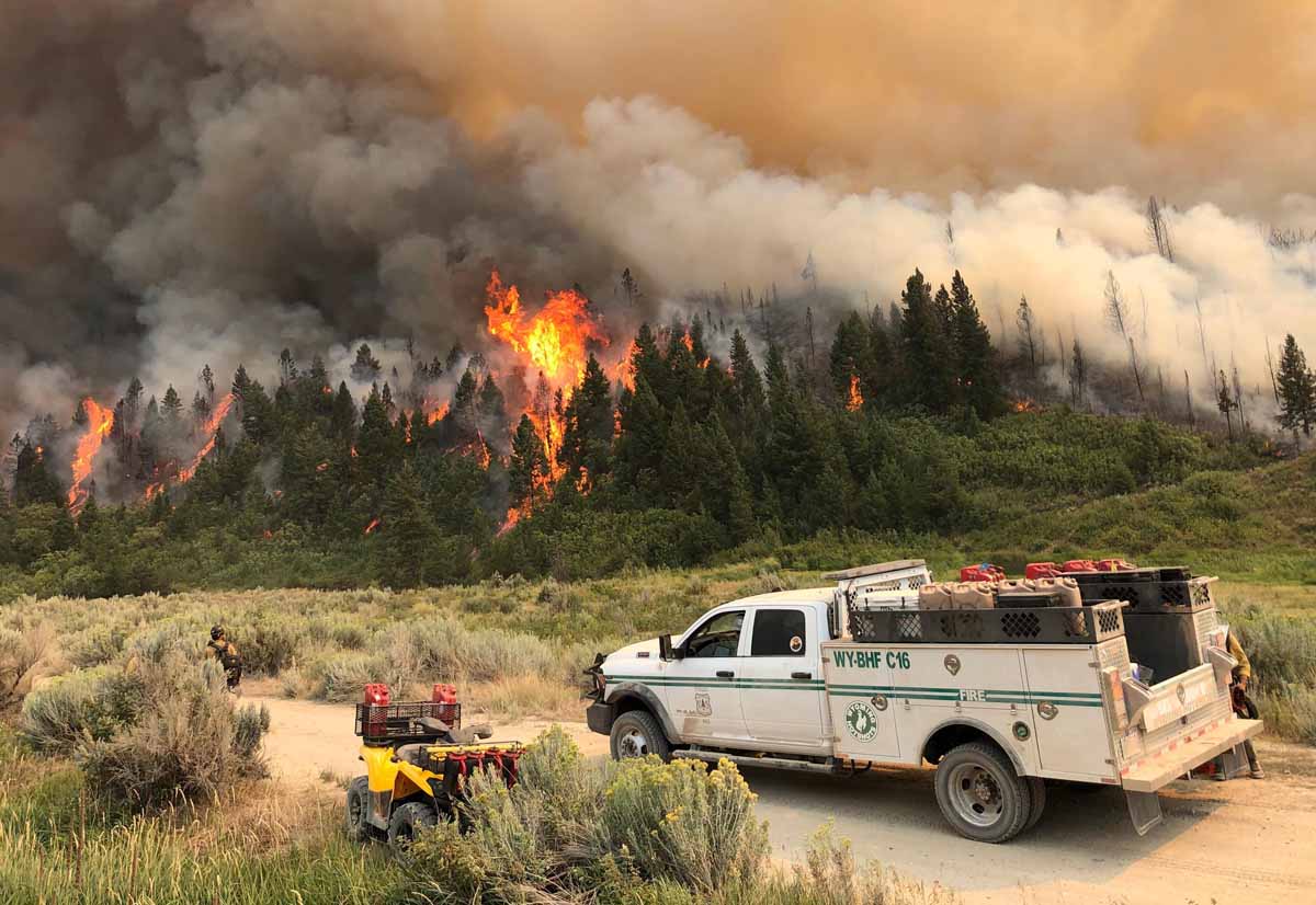
But much of the focus has turned Colorado where four large fires are out of control.

The Pine Gulch Fire 15 miles north of Grand Junction, Colorado at 73,381 acres Saturday became the fourth largest fire in the recorded history of the state. The Rocky Mountain Type 1 Incident Management Team with Dan Dallas as Incident Commander assumed command of the Friday morning after transitioning with the type 2 team.
The Grizzly Creek Fire just east of Glenwood Springs has been adding thousands of acres every day since it started August 10. Interstate 70 has been closed since then due to the fire.
More information about the Grizzly Creek Fire on Wildfire Today.

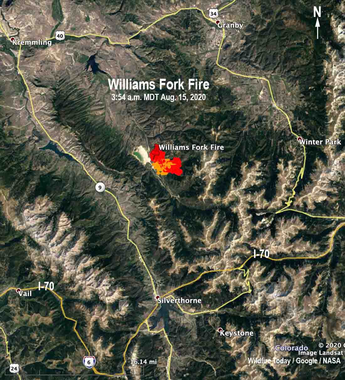
The newest of the four large fires in Colorado is the Williams Fork Fire 10 air miles southeast of Williams Fork Reservoir and 19 miles southeast of Kremmling reported just before noon Friday August 14. Firefighters estimated Friday night it was 1,300 acres and said it is exhibiting extreme fire behavior as it moves east and northeast toward Church Park. The fire is currently holding east of CR 30 and south of Keyser Creek in an area with intensive beetle kill from the early 2000s. Henderson Mill and its infrastructure along with multiple other utilities are in the immediate area.

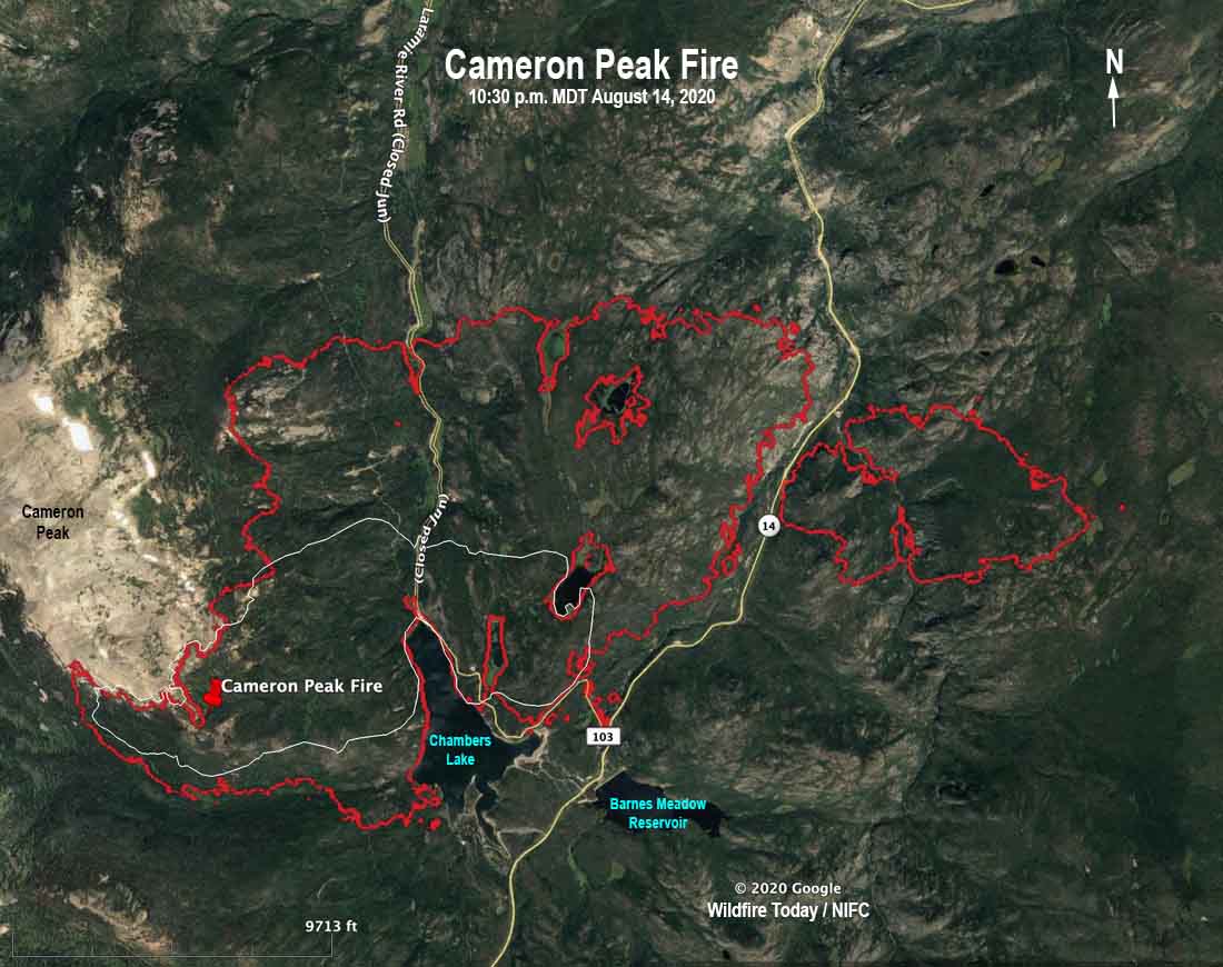
The Cameron Peak Fire has been burning since August 13 in the Rawah Wilderness on the Arapaho & Roosevelt National Forests near Highway 14 and Chambers Lake. It is 36 air miles west of Fort Collins, Colorado and as of Friday night had burned about 5,424 acres. Mike Haydon’s Type 2 Rocky Mountain Incident Management Team Blue will assume command today, August 15. The Cameron Peak Fire started west of Chambers Lake and has crossed Highway 14 to the east, burning nearly 800 acres on the south side of the highway.
To see all articles on Wildfire Today about the Cameron Peak Fire including the most recent, click here.


