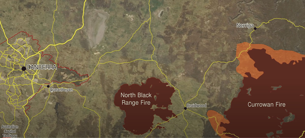
Researchers are still learning the full impact of the Australian brushfires that burned nearly 60 million acres, or 24 million hectares, between 2019 and 2020.
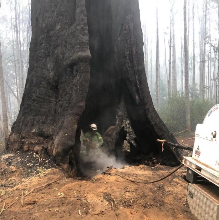
Numerous reports have looked into different facets of the disastrous season, including the massive loss of plant life and firefighter experiences during the bushfires. Australia also created the Bushfire Royal Commission, later renamed the Royal Commission into National Natural Disaster Arrangements. The commission produced a report that modernized the nation’s disaster preparedness and recovery.

The most recent report on the bushfires focused on how they affected the nation’s tourism industry, specifically how previous reports underestimated the financial losses.
“Our novel research into the losses from the tourism shutdown resulting from Australia’s 2019-20 fires found that flowing on from direct impacts of AU $1.7 billion, indirect impacts along supply chains resulted in $2.8 billion in total output losses and $1.6 billion in reduced consumption,” the University of Sydney researchers’ report said. “We calculated significant spill-over costs, with total output losses being an increase of 61 percent on top of the direct damages identified.”
The study was reportedly the first time researchers documented changes throughout Australia’s entire supply chain, rather than focusing on specific parts of the Australian economy. Researchers said the ability to fully quantify disasters’ effects on a nation’s economy will become more important as climate change intensifies natural disasters.
“Natural hazards may increase economic inequalities, with the burden of climate adaptation and mitigation adding to the costs of governments already struggling under business-as-usual,” the report says. “Australia’s reputation as a pristine destination could become permanently damaged in the longer term under global warming, with fewer people traveling in Australia in our peak summer holiday season; similarly, people may start to avoid other countries and regions that are increasingly in the media for their wildfires and other natural hazards.”
Click here to read the full study.
Researchers are still learning the full impact of the Australian brushfires that burned nearly 60 million acres, or 24 million hectares, between 2019 and 2020.
Numerous reports have looked into different facets of the disastrous season, including the massive loss of plant life and firefighter experiences during the bushfires.