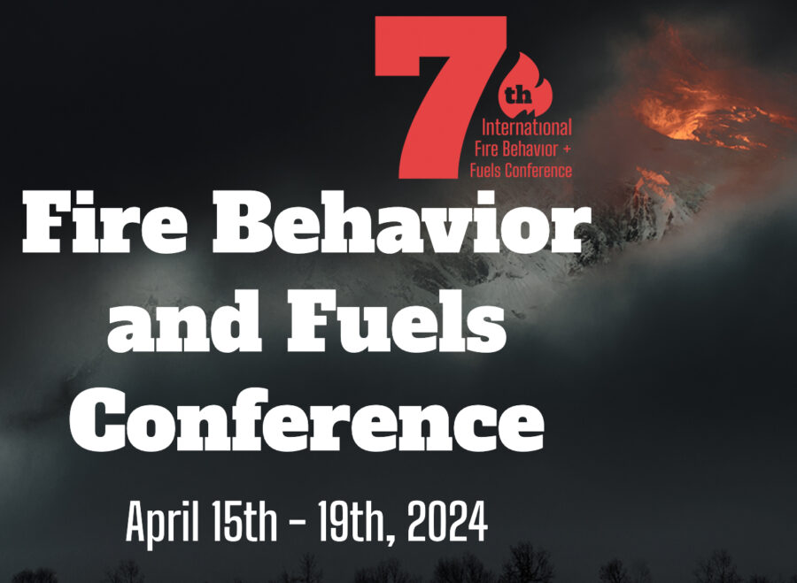
Wildfires present an increasing challenge to humans and to the ecosystems and atmosphere we depend on. Our response to larger and more destructive wildfires and ability to prepare for a changing climate is increasingly challenged. Understanding fire behavior and human response is ever more important.
The 7th International Fire Behaviour and Fuels Conference offers a forum at which fire management experience and lessons are documented, current work showcased, and emerging research is shared.
This conference on three continents showcases new fire management policies and frameworks to address fire risks and build resilience. The conference will unite policy makers, scientists, fire managers, and Indigenous land stewards for a shared purpose and a better future living with fire.
Held concurrently in Tralee, Ireland and Canberra, Australia and Boise, Idaho.
BOISE HIGHLIGHTS:
Monday: Workshops, Field Tours, Keynote Session by Dr. Lori Moore-Merrell, Opening reception with sponsors and exhibitors.
Tuesday: Sessions, exhibitors, and Poster session/reception.
Wildfires have become an increasing challenge to humanity, the ecosystem, and the atmosphere we depend on. Responding to larger and more destructive wildfires and protecting against their climate impacts is challenging; understanding fire behavior and our responses is critical.
The 7th International Fire Behaviour and Fuels Conference is a forum in which fire management experience is documented, current work is showcased, and emerging research is shared as we together develop solutions to these challenges.
This conference on three continents brings together countries in three areas of the world to develop fire policies at national, regional– to learn from others how they address fire risks and build resilience. The conference unites policymakers, scientists, managers, and indigenous land stewards for a shared purpose in living with fire.
The 7th International Fire Behaviour and Fuels Conference hosts events on three continents, highlighting a range of experience from different countries to develop fire management policies in facing risk and building resilience.
The conference will bring together policymakers, scientists, fire managers, and Indigenous land stewards, and more for a shared purpose of creating a future where we can live with fire. Join us for an authentic conversation on managing fires and creating a sustainable future.
Presenters and speakers this year include Dr. Lori Moore-Merrell, Dr. Dean Yibarbuk, Dr. Lachlan McCaw, Prof. Nerilie Abram, Prof. Sarah Legge, Dr. Dan Pronk, Katie Lighthall, Dr. Mark Finney, Dr. Mark Parrington, Dr. Joseph Wilkins, Edward Alexander,and Dr. Conceicao Colaco. All conference registrants at any of the three locations will receive access to recordings of each presentation.
Workshops: Our interactive workshops are educational and feature a range of topics to choose from. You can learn new skills and connect with experts in their fields.
Field Tours: Each location has scheduled a collection of field trip opportunities. Field tours provide hands-on learning options from exploring nature to sharing history and culture. Select your trip when you register.
Exhibitors: Our exhibition hosts a range of displays and demos. You will learn more about the latest products and services in fire science and management. We look forward to seeing you there!
The International Association of Wildland Fire (IAWF) is a non-profit, 501(c)(3) professional association committed to a non-partisan approach for uniting the global wildland fire community. We were formed in 1990 as a global professional membership association. For 30 years IAWF has grown from a fledgling organization to a global member-focused association spanning 26+ countries. The IAWF was formed to promote a better understanding of wildland fire and built on the belief that an understanding of this dynamic natural force is vital for natural resource management, protecting the health, safety, and welfare of people including firefighters and the public, and for harmonious interactions between people and their environment. IAWF is dedicated to communicating with the entire wildland fire community and providing a global linkage for people with shared interest in wildland fire and all of the associated topics of this multifaceted community. To accomplish these goals, we convene and create networks across sectors, fields, and disciplines to connect the wildfire community through multiple platforms, through which we communicate — including conferences, our website, the premier academic journal in our field (International Journal of Wildland Fire), a popular-oriented magazine (Wildfire) and via social media outlets.
Scientists have introduced a new theory for the cause of the Maui fires in August, and the theory casts doubt on previous assumptions that linked the wildfires to nearby Hurricane Dora. Weather models show the fires were actually blown by the same meteorological phenomenon that’s often behind California’s worst wildfires — a downslope windstorm (see Rattlesnake).
Nearly four months after the Lahaina Fire that devastated Maui — leaving 100 people dead and 6,000 still homeless — scientists have clarified a new theory; according to a report by the Daily Mail, video footage documenting the fire revealed a wind-driven firestorm, but the power outages during the firestorm left scientists uncertain about which factors had caused the fire behavior.
Atmospheric researchers have now simulated the weather and fire trends in western Maui. In Lahaina, the main cause of the fires was a strong high-pressure system north of Hawai’i that intensified the easterly tradewinds, and when those winds ran up against the slopes in West Maui, the speed increased as the winds blew downhill. When they hit Lahaina they’d reached hurricane strength.
Simulations by the University of Nevada-Reno and the State University of New York at Buffalo showed that sustained winds in Lahaina on August 8 were nearly 80 mph with gusts exceeding 90 mph. Studies by the University of Hawaii and the University of Washington simulated similar wind speeds.
Cliff Mass, an atmospheric sciences professor at the University of Washington who simulated the Maui windstorm, said the combination of fuels, strong winds, and ignition sources is a common set-up for destructive wildfires.
“There’s a real story for Californians here because what happened in Maui, what happened in the Marshall Fire, what happened at Paradise … they’re all the same thing,” Mass told the San Francisco Chronicle.
The Chronicle reported that videos from Lahaina showed a wind-driven fire, but that because weather stations in the area had lost power during the fire, researchers could not be certain about exactly which factors had combined to create the firestorm. Many had initially attributed the disaster to Hurricane Dora near the island.
Below is a forecast vertical cross-section of the situation on the island at about 11 a.m. Hawaii time. Cliff Mass explains that winds are shown by the color shading and arrows. “The solid lines are potential temperature. An extraordinarily high amplitude wave had formed, with air descending the western side of the Maui Mountains, accelerating as it plummeted toward Lahaina. At low elevations, the flow abruptly ascended, in a feature often termed a hydraulic jump.”
Cliff Mass illustration — Maui Mountains
He said the Lahaina situation involved a wet winter, followed by a dry summer, causing grasses to grow exceptionally in the spring to create a dense fuel load, ready to burn.
A video that claimed to show a rarely-seen wildfire phenomenon went viral in August. Now, researchers have confirmed its legitimacy.
An “extensive investigation” led by researchers at Western University’s Northern Tornadoes Project in Ontario started after the video of a vortex above British Columbia’s Gun Lake was shared by numerous news outlets after it was recorded on August 18.
“The Northern Tornadoes Project has been investigating this event since that time — very carefully, given this was potentially the first fire-generated tornado that we have recorded,” researchers said.
Researchers first confirmed the location and date of the video, then had to determine whether the vortex shown in the video met the definition of a tornado. The project was able to determine the tornado’s validity through multiple visual indications from the recording, including the presence of a spray vortex at the base of the tornado, how the vortex formed and the position of the vortex over the fire, all of which matched the scientific research related to fire-generated tornadoes.
“Though the terminology in this area of science is still developing, it should be pointed out that this intense vortex was not a brief, fire-filled ‘fire whirl‘ but an actual tornado that is sometimes referred to as a pyrotornado,” the researchers said. “This is the first such fire-generated tornado recorded by [the Northern Tornadoes Project], and appears to be the most thoroughly documented fire-generated tornado so far in Canada.”
The researchers confirmed that, yes, the event is classified as a tornado. The full extent of the damage from the tornado isn’t yet known, but the project says evidence is trickling in slowly.
The pyrotornado isn’t the only one that’s been thoroughly studied. The “world’s first wildfire tornado” was captured on video in 2003 during a wildfire outside of Canberra, Australia. The fire destroyed 500 homes and killed four people. The damage was worsened when the pyrotornado emerged.
“The Canberra fire tornado of 2003 was rated an EF3 on the Enhanced Fujita Scale, with horizontal winds of 160 miles per hour, roughly equivalent to a Category 5 hurricane,” an article from Smithsonian Magazine reads. “As the first documented example of its kind, it was a milestone — another harbinger of 21st-century fire.”
A similar event was recorded during the 2018 Carr Fire in Redding, California, dubbed “the most destructive fire in National Park System history.” The fire destroyed 1,614 structures, killed seven people, and burned 229,651 acres. The fire also has a place in history for the pyrotornado it generated, which has since helped forecasters’ and scientists’ ability to identify future fire-generated tornadoes. NOAA researchers studied the pyrotornado, which had many similarities to the Gun Lake tornado.
“A key factor in the vortex formation was the development of a fire-generated ice-topped cloud (i.e., a pyrocumulonimbus), which reached as high as 12 km aloft,” NOAA said. “These observations will help forecasters and scientists identify, and potentially warn for, future destructive fire-generated vortices.”
A video that claimed to show a rarely-seen wildfire phenomenon went viral in August. Now, researchers have confirmed its legitimacy.
An “extensive investigation” led by researchers at Western University’s Northern Tornadoes Project in Ontario started after the video of a vortex above British Columbia’s Gun Lake was shared by numerous news outlets after it was recorded on August 18.
The soil under the Hostens Forest in Gironde, France is burning. Not only have numerous rains not been enough to snuff out the flame, but time itself seems to have had no effect.
Four major wildfires over the summer of 2022, totaling around 69,000 acres between July and August, caused the evacuation of 46,000 locals. Authorities suspect human involvement and an investigation has been launched.
Satellite images show the impact of the wildfire in Gironde in July 2022. Click for more.
Ever since, the fire has traveled from the surface to underground; it’s still burning despite weeks of rainfall. The underground fuel was partially created by an old lignite (brown coal) mine that produced electricity for the region until it shut down in 1964. After he heard it was partly the reason the fire was still burning, a reader of the Sud Ouest daily newspaper shared images of a field trip he’d taken to the mine as a child.
The continuous fire’s other cause, though, is the land itself. The Landes forest region, where the fires are burning, used to be an extensive marshland filled with moors. That changed in the early 1800s when the area’s sand dunes were stabilized by humans so they could set up plantations and plant a vast pine forest for timber purposes.
The drained, dried-out peatland is as perfect a fuel as you could find for a wildfire. Making matters worse, the artificial forest standing on top of the peat has dried out as well — a result of severe ongoing drought. The combination has forced French authorities to essentially gut the area of all vegetation until all fires are out.
“We are constantly on guard,” said Pascale Got, who handles environmental issues for the Gironde département, according to The Local. “When vegetation starts to grow again, we cut it down. Given the amount that we have cut down so far, I don’t think there will be a resumption of wildfires, unless there is an exceptional drought.”
This kind of continuous fire, or “zombie fire,” isn’t unheard of. A similar fire in Louisiana’s Bayou Sauvage Urban National Wildlife Refuge burned for two months before it was extinguished on December 4. The continual burning plagued the area with “noxious” smoke.
Overwintering fires, wildfires that continue to burn deep in a fuelbed until weather favors flaming behavior and firespread, have also occurred with increased frequency in North America’s boreal forests. Research published in 2021 found that flare-ups from these overwintering fires could partially be predicted by monitoring edges of fire perimeters from the preceding year.
Officials worry that another period of severe drought could start new fires; according to the Connexion, Gironde officials plan to reforest the area in France once the fires have been completely resolved.
Call for Workshops at Boise — deadline is November 15
SEND YOUR PROPOSALS NOW: Conference workshops will be scheduled for Monday, April 15 and Wednesday, April 17 at the 7th International Fire Behavior + Fuels Conference in Boise, Idaho.
Workshops provide a forum for researchers and other professionals working in wildland fire to discuss and exchange interests in fire. Conference workshops are an opportunity for technology transfer, ensuring that scientific and technological developments are accessible to a wider range of users who can use and develop them.
Conference organizers are particularly interested in hosting technology-related workshops if you or your organization are working with new technology used in wildland fire, or using technology in new ways in fire. Workshops that were particularly well-received at previous conferences included one focused on Soil Moisture and Wildfire Prediction and another on Fire and Fuels Management Tools.
There will be a nominal registration fee for conference participants who attend workshops in April; this fee will cover the cost of meeting rooms, refreshments, and audio-visual equipment. Instructors will not be required to pay a fee.
The IAWF is now encouraging proposals for workshops. Please include in your proposal:
Workshop title
Names, affiliations, and emails of instructors
Short bio for each instructor, including qualifications related to the topic
Proposed duration (2, 4, 6 or 8 hours)
One-paragraph description of workshop
Minimum/maximum number of participants (if applicable)
Any special facility needs (e.g. LCD projector, computer lab, wifi)
Evaluation criteria include overall quality and the fit with respect to the conference topic: Fuel, fire and smoke: evolving to meet our climate challenge.
The IAWF is interested in workshops that connect research and management. The workshops can also be used to discuss administrative techniques, challenges, and strategies, and may include roundtable brainstorming.
Deadline for proposals is November 15. Previous conferences are listed [HERE].


 Evaluation criteria include overall quality and the fit with respect to the conference topic: