Wildfires present an increasing challenge to humans and to the ecosystems and atmosphere we depend on. Our response to larger and more destructive wildfires and ability to prepare for a changing climate is increasingly challenged. Understanding fire behavior and human response is ever more important.
The 7th International Fire Behaviour and Fuels Conference offers a forum at which fire management experience and lessons are documented, current work showcased, and emerging research is shared.
This conference on three continents showcases new fire management policies and frameworks to address fire risks and build resilience. The conference will unite policy makers, scientists, fire managers, and Indigenous land stewards for a shared purpose and a better future living with fire.
Held concurrently in Tralee, Ireland and Canberra, Australia and Boise, Idaho.
BOISE HIGHLIGHTS:
Monday: Workshops, Field Tours, Keynote Session by Dr. Lori Moore-Merrell, Opening reception with sponsors and exhibitors.
Tuesday: Sessions, exhibitors, and Poster session/reception.
Wildfires have become an increasing challenge to humanity, the ecosystem, and the atmosphere we depend on. Responding to larger and more destructive wildfires and protecting against their climate impacts is challenging; understanding fire behavior and our responses is critical.
The 7th International Fire Behaviour and Fuels Conference is a forum in which fire management experience is documented, current work is showcased, and emerging research is shared as we together develop solutions to these challenges.
This conference on three continents brings together countries in three areas of the world to develop fire policies at national, regional– to learn from others how they address fire risks and build resilience. The conference unites policymakers, scientists, managers, and indigenous land stewards for a shared purpose in living with fire.
The 7th International Fire Behaviour and Fuels Conference hosts events on three continents, highlighting a range of experience from different countries to develop fire management policies in facing risk and building resilience.
The conference will bring together policymakers, scientists, fire managers, and Indigenous land stewards, and more for a shared purpose of creating a future where we can live with fire. Join us for an authentic conversation on managing fires and creating a sustainable future.
Presenters and speakers this year include Dr. Lori Moore-Merrell, Dr. Dean Yibarbuk, Dr. Lachlan McCaw, Prof. Nerilie Abram, Prof. Sarah Legge, Dr. Dan Pronk, Katie Lighthall, Dr. Mark Finney, Dr. Mark Parrington, Dr. Joseph Wilkins, Edward Alexander,and Dr. Conceicao Colaco. All conference registrants at any of the three locations will receive access to recordings of each presentation.
Workshops: Our interactive workshops are educational and feature a range of topics to choose from. You can learn new skills and connect with experts in their fields.
Field Tours: Each location has scheduled a collection of field trip opportunities. Field tours provide hands-on learning options from exploring nature to sharing history and culture. Select your trip when you register.
Exhibitors: Our exhibition hosts a range of displays and demos. You will learn more about the latest products and services in fire science and management. We look forward to seeing you there!
The International Association of Wildland Fire (IAWF) is a non-profit, 501(c)(3) professional association committed to a non-partisan approach for uniting the global wildland fire community. We were formed in 1990 as a global professional membership association. For 30 years IAWF has grown from a fledgling organization to a global member-focused association spanning 26+ countries. The IAWF was formed to promote a better understanding of wildland fire and built on the belief that an understanding of this dynamic natural force is vital for natural resource management, protecting the health, safety, and welfare of people including firefighters and the public, and for harmonious interactions between people and their environment. IAWF is dedicated to communicating with the entire wildland fire community and providing a global linkage for people with shared interest in wildland fire and all of the associated topics of this multifaceted community. To accomplish these goals, we convene and create networks across sectors, fields, and disciplines to connect the wildfire community through multiple platforms, through which we communicate — including conferences, our website, the premier academic journal in our field (International Journal of Wildland Fire), a popular-oriented magazine (Wildfire) and via social media outlets.
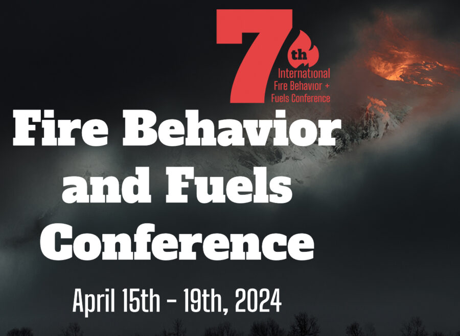
The 7th Fire Behavior and Fuels Conference is scheduled for April 15–19, 2024 and will be held simultaneously in Boise, Canberra, and Tralee, Ireland. Conference organizers are now calling for presentations, and each location is inviting presentation proposals.
The IAWF Fire Behavior and Fuels Conference provides a forum at which fire management experience and lessons learned are documented, and current work is showcased. Emerging research, innovation, and management techniques are shared, to develop integrated solutions to wildfire challenges.
This conference on three continents will showcase several countries’ development and integration of fire management policies and frameworks at national, regional, and local levels to address fire risks and build resilience. The conference brings together policy makers, scientists, fire managers, and indigenous land stewards for a shared purpose and a different future living with fire.
The International Association of Wildland Fire (IAWF) is a non-profit 501(c)(3) professional association committed to a non-partisan approach for uniting the global wildland fire community. We were formed in 1990 as a global professional membership association. For 30 years IAWF has grown from a fledgling organization to the foremost global wildfire-focused association spanning 26+ countries. The IAWF was built on the belief that an understanding of this dynamic natural force is vital for natural resource management, for protecting the health, safety, and welfare of firefighters and the public, and for harmonious interactions between people and their environment. IAWF is dedicated to communicating with the entire wildland fire community and providing a global link for people with shared interest in wildland fire and associated topics of this multifaceted community. To accomplish these goals, we create networks across sectors, fields, and disciplines to connect the wildfire community through multiple platforms including conferences, our website, the International Journal of Wildland Fire, Wildfire Magazine, and social media outlets.
Drought — fuel moisture — energy release component
Observed precipitation during the 30 days before August 23, 2021.
There are a number of ways to analyze the behavior of wildland fires using data that is easily available. The amount of moisture in the live and dead vegetation is a critical factor in determining how readily it will burn, because it has to be cooked off before the grass, brush, or woody vegetation will vigorously combust.
The amount of precipitation over days, weeks, months, and years affects how wildfires burn. The map above depicts precipitation during the 30-day period ending August 23, 2021.
The Drought Monitor is one way of using an index to express how the precipitation compares to normal for an area. As you can see below most of California is in either Exceptional Drought (the highest level of drought) or Extreme Drought. The only areas in California that are not, are a tiny sliver in the extreme northwest corner, and the five southernmost counties. Both drought categories can also be found in areas of Oregon and Idaho which I will get to later.
Extended drought lowers the moisture content of both live and dead vegetation. When that occurs, it takes less energy out of a fire to cook off the moisture, and that energy instead goes toward enhanced combustion of the material and then preheating and igniting nearby vegetation, resulting in faster spread of the fire.
The observed precipitation map at the top of the page shows that most of California received less than 1/10 inch in the 30-day period. This, and the multi-year drought has led to the 1,000-hour time-lag fuels, woody material 3 to six inches in diameter, being extremely dry. Fuel monitoring stations in the foothills of the Sacramento Valley and the Northern Sierras are finding moisture levels lower than kiln-dried lumber, which is usually 8 to 12 percent. Both stations recently have been recording levels around 6 percent, which is near and sometimes below the lowest levels ever recorded for the date (the red lines on the charts). The Incident Management Team on the Caldor Fire said the 1,000-hour fuels are at three percent moisture.
In these charts, “Min” is the historic minimum for the date. “Max” is the historic maximum for the date.
Knowing the moisture content of the fuel is an ingredient in determining another index, the Energy Release Component (ERC) which can help predict the intensity and rate of spread of a fire. It is defined as a number related to the available energy (BTU) per unit area (square foot) within the flaming front at the head of a fire. The ERC is considered a composite fuel moisture index as it reflects the contribution of all live and dead fuels to potential fire intensity. As live fuels cure and dead fuels dry, the ERC will increase and can be described as a build-up index. The ERC has memory. Each daily calculation considers the past 7 days in calculating the new number. Daily variations of the ERC are relatively small as wind is not part of the calculation.
Since mid-May the ERCs at two locations in Northern California have been flirting with the historic daily highs, either slightly above or slightly below. This is consistent with the observed fire activity this year on several large fires in the northern part of the state. The Dixie Fire is closing in on three-quarters of a million acres, and the Caldor Fire in nine days has blackened 117,000 acres. Fire Behavior Analysts at the fires are describing historically low fuel moistures.
Here is an excerpt from the recent Fuel Model Summary for the Caldor Fire:
There is a heavy dead and down component with drought-stressed fuels. Live fuels are cured to levels normally seen in late September, and fuels are extremely receptive to spotting. Fuel moistures are historically low. Northern California remains under a Fuels and Fire Behavior Advisory. ERC’s are above the 97th percentile. 100 hr and 1000hr fuels are below the 3rd percentile.
These fires are primarily fuel-driven. They are burning very well with gentle breezes. When the wind increases above 10 mph, they are hauling ass.
Pyregence fire forecasting tool, beta version. Forecast for the northeast side of the Red Salmon Complex of fires in Northern California at 4 p.m. PDT October 9, 2020.
The U.S. Department of Commerce’s National Institute of Standards and Technology (NIST) has awarded 19 small businesses in 12 states a total of more than $4.4 million in grants to support innovative technology development. One of those grants, for $100,000, is to help build a system for automatically detecting and forecasting the spread of every wildfire in the continental United States and updating the forecasts as conditions change.
Reax Engineering Inc. of Berkeley, California, the company that received the grant, has a beta version of the forecasting tool online now just for the state of California. It is a work in progress and will eventually include data for fires in other states.
Wildfire forecasting is one of the four primary goals of Pyregence, a group of fire-science labs and researchers collaborating about wildland fire, where the forecasting tool now resides. The organization brings together initiatives and leading researchers from 18 institutions representing industry, academia, and government in an effort to transform how wildfire mitigation and adaptation measures are implemented. In addition to forecasting wildfire activity, wildfire scenario analyses will be produced to inform future wildfire risk and California’s 5th Climate Change Assessment, using open science and technology principles.
Pyregence working groups.
In order to predict the spread of wildfires, fire behavior models are run on computers. The versions that have been used for decades are not accurate for dealing with heavy dead and down fuels or fires spreading through the crowns of trees under extreme weather conditions. The goal of one of the four Pyregence workgroups, the Fire Behavior Workgroup, is to improve existing models or develop new ones. That effort is being led by Scott Stephens, Professor of Fire Science, and director of the University of California Center for Fire Research and Outreach.
U.S. Forest Service Missoula Fire Lab burn chamber, May 21, 2014. Photo by Bill Gabbert.
Mark Finney, a researcher at the U.S. Forest Service Missoula Fire Sciences Laboratory, is part of the Fire Behavior Workgroup and will soon have access to a burn chamber much larger than the one in the photo above. It will reportedly be the size of a grain silo. These wind tunnel/combustion chambers are used to conduct burning experiments in a controlled environment under varying fuel, temperature, humidity, and wind conditions. It can lead to a better understanding of how vegetation burns, leading to improvements in predicting fire spread.
An article at Wired describes the planned burn chamber:
Once complete, that chamber will let him replicate wildfire fuel beds by piling logs and other material as much as a few feet deep. He will then ignite them, hit them with wind and moisture, and quantify their burn rate and energy-release rate—what he calls the “heat-engine part of mass fires.”
“Really what we’re looking for,” Finney says, “is how these things transition to flaming. Instead of just smoldering on the forest floor, how do they become actively involved in these large fires?”
If all goes well, Finney’s working group will eventually code three-dimensional digital simulations of various wildland fuel beds—digital cubes, in essence, not unlike Minecraft voxels—that can be stacked and arranged in infinite variation across landscapes generated by GIS mapping data.