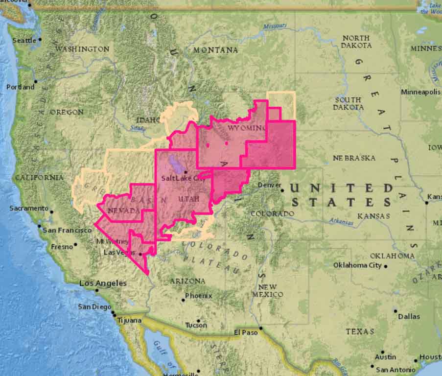
Above: Satellite photo taken at 6:12 MDT September 14, 2018, showing wildfires in Utah and Colorado
(UPDATED at 7:32 p.m. MDT September 14, 2018)
The Pole Creek and Bald Mountain Fires continued to grow South of Provo Friday in Utah, but since the wind was not as strong they did not increase as much as in recent days.
The many different numbers we’re hearing for the sizes of the fires are confusing. Some of them conflate the two fires, Pole Creek and Bald Mountain, and some do not. Even when they are separated out, we are not convinced they are accurate. Having said that, Suzanne Tenhagen, a spokesperson for the Pole Creek Incident Management Team, told us at 7:05 p.m. Friday that the Pole Creek fire had burned 54,000 acres and the Bald Mountain, 14,500 acres.
To see all articles on Wildfire Today about the Pole Creek and Bald Mountain Fires, including the most current, click HERE.
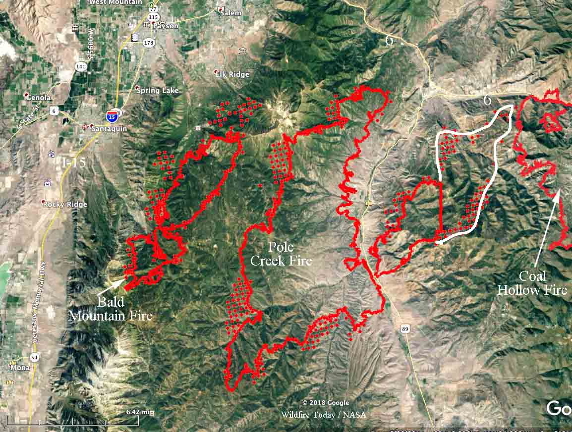
The red dots on the map below represent heat detected by a satellite at 2:18 p.m. Sept. 14.

(Originally published at 9:55 a.m. MDT September 14, 2018)
Hot, dry, windy weather has caused two fires 15 miles south of Provo, Utah to increase in size dramatically over the last several days. The Pole Creek and Bald Mountain Fires initially started between Interstate 15 and Highway 89. On Thursday, pushed by a 12 mph southwest wind gusting to 25 mph with 6 percent relative humidity, the Pole Creek Fire reached Highway 89. It didn’t stop there, and kept going for another nine miles and may have reached the western edge of the 31,000-acre Coal Hollow Fire just south of Highway 6. The Coal Hollow Fire is nearly wrapped up and has been relatively quiet for several days.
The aircraft that mapped the Coal Hollow Fire at 11:30 p.m. MDT Wednesday came up with a size of 31,899 acres. However, a large portion of the fire east of Highway 89 was not mapped. Our very unofficial, rough estimate of the unmapped area is that it covers approximately 7,000 acres, based on heat detected by a satellite at 2:53 a.m. MDT September 14. This would bring the total to more than 38,000 acres. The fire is 17 miles long, measured southwest to northeast.
The Bald Mountain Fire, west of Pole Creek, did not grow as much on Thursday. It was mapped Wednesday night at approximately 6,600 acres. Both fires were very active during the satellite overflight at 2:53 a.m.
Utah and several other states have been under Red Flag Warnings for days, and that should continue through Saturday. Friday’s forecast for the fire area calls for a high of 89, relative humidity extremely low at 6 percent, and 15 to 18 mph southwest winds gusting to 25. These conditions will be conducive to continued spread to the northeast, with the possibility of reaching or even crossing Highway 6.


