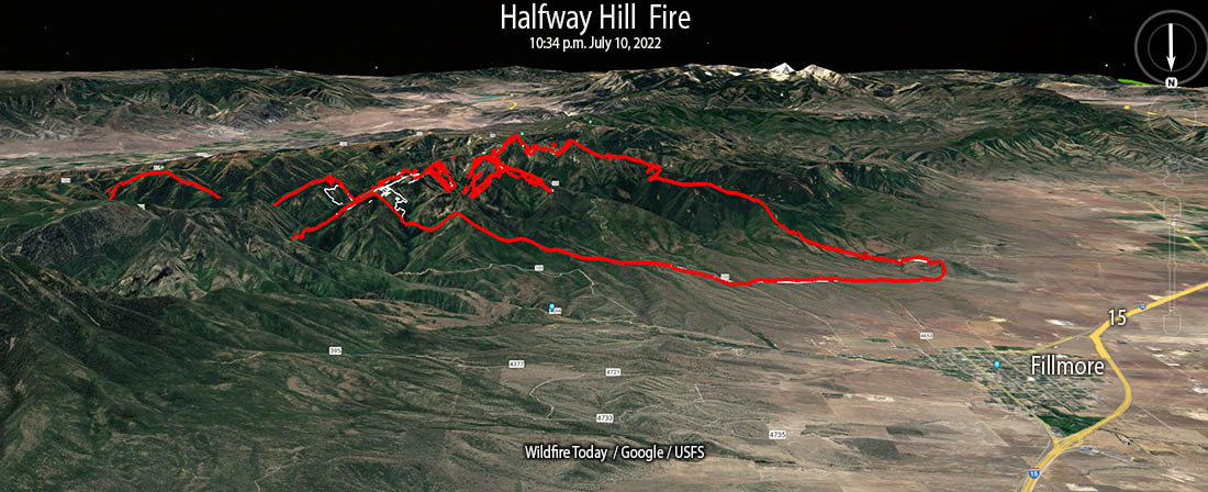
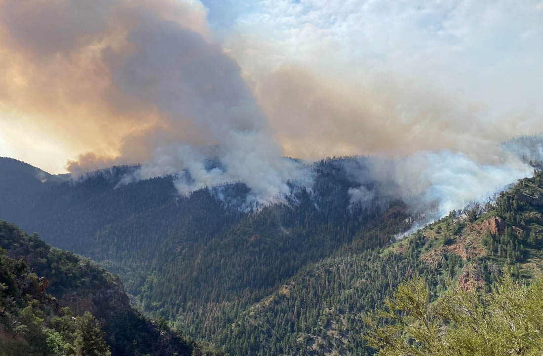
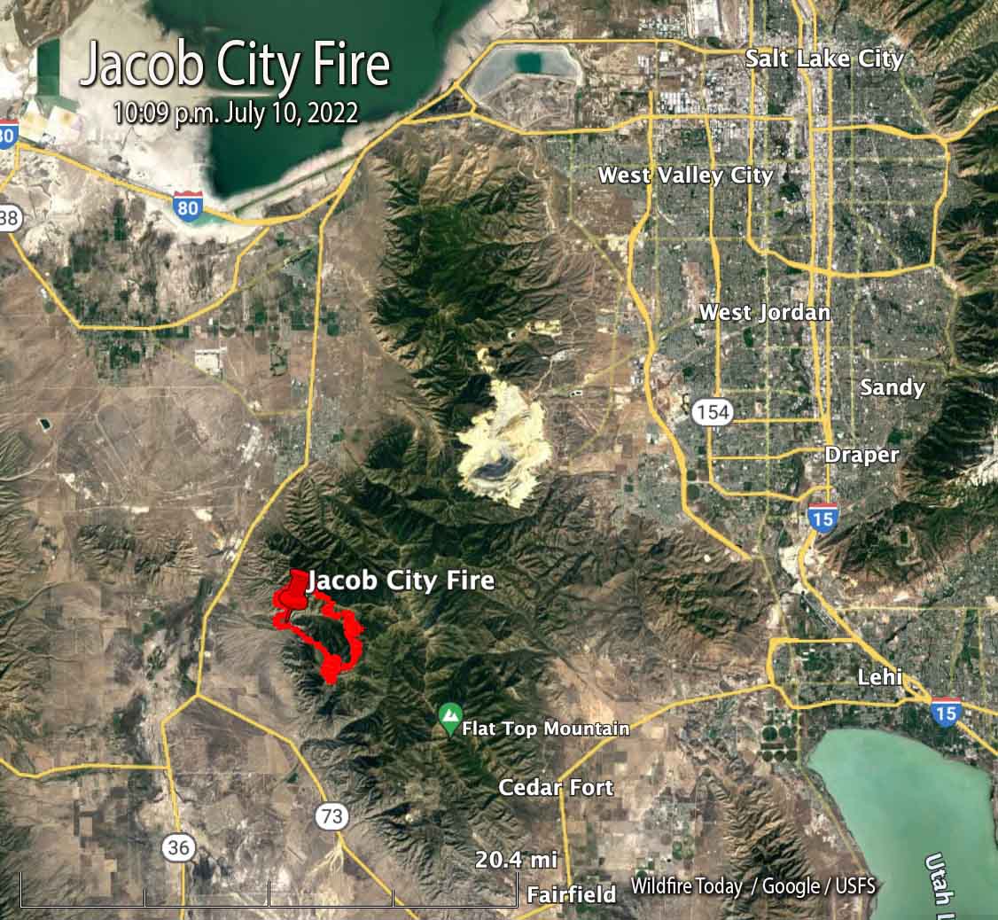
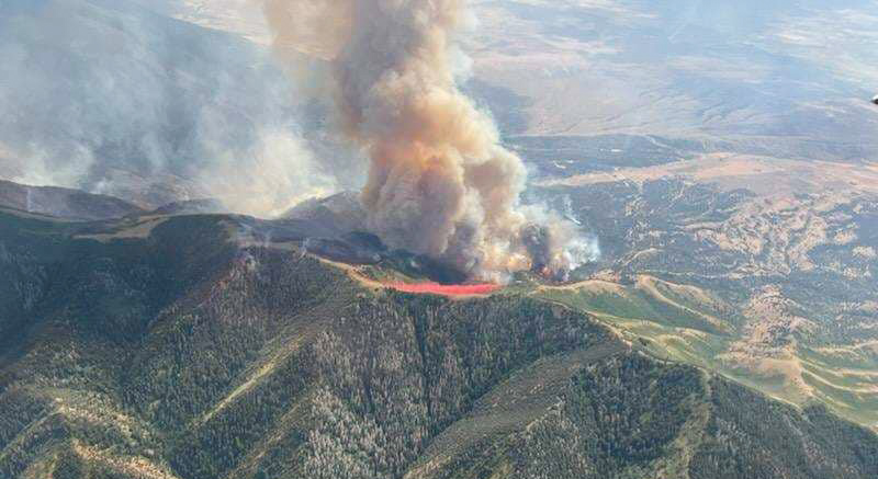
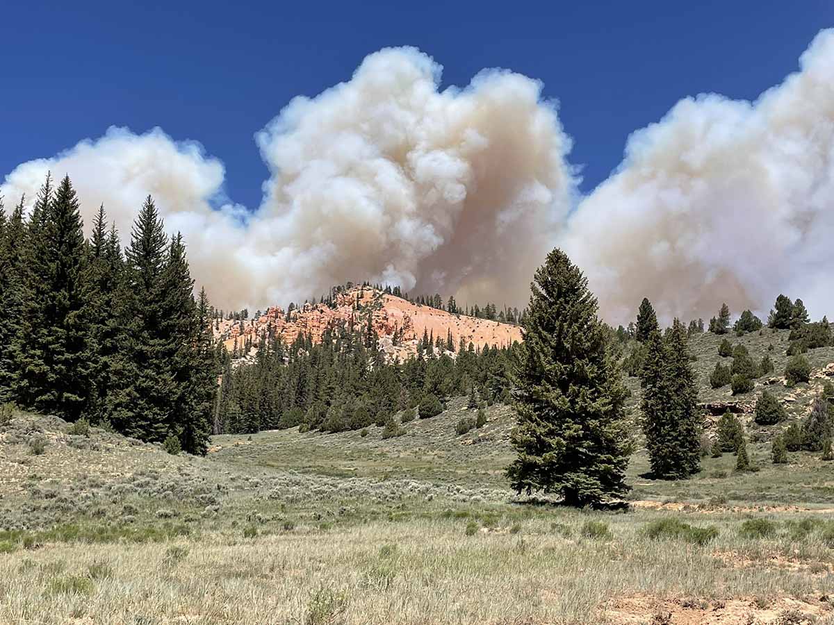
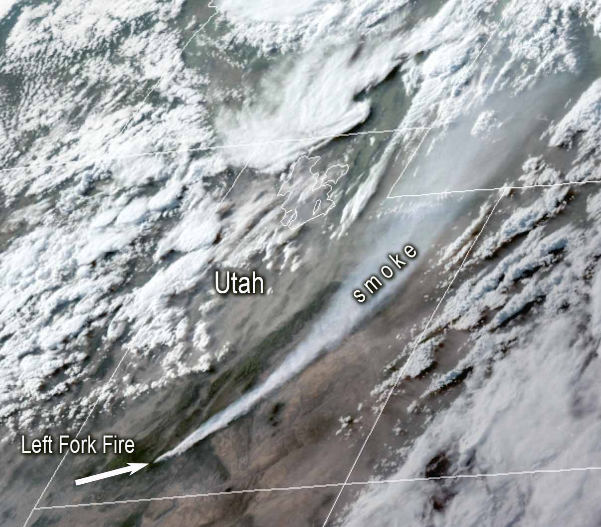
Utah burned much more than usual in 2020 and, more than ever before, humans were to blame. The state had its worst year of human-caused wildfires on record that year, when 1,500 wildfires burned more than 100,000 acres of land across the state. Officials say 1,143 of those fires were caused by humans, beating the state’s previous single-year record by more than 250.
 Utah launched a statewide campaign called “Fire Sense” to reduce human-caused wildfires, and it was incredibly effective. The state marked a 60 percent reduction in human-caused wildfires in the two years following the start of the program. In 2023 that number has gone down even more, with only 295 of Utah’s 772 wildfires recorded as human-caused as of October 6.

The program was recently awarded a Bronze Smokey, which is a national award for statewide service, for its by-the-numbers success.
“This is a great honor for Fire Sense,” said Kayli Guild, the Fire Prevention and Communications Coordinator for the Utah Division of Forestry, Fire & State Lands (FFSL), after receiving the Bronze Smokey. “We launched this campaign to raise awareness surrounding the impact our behaviors as humans have on wildfire starts. Over the past two years, we have seen a drastic decrease in human-caused starts as we have seen Utahns implement Fire Sense.”
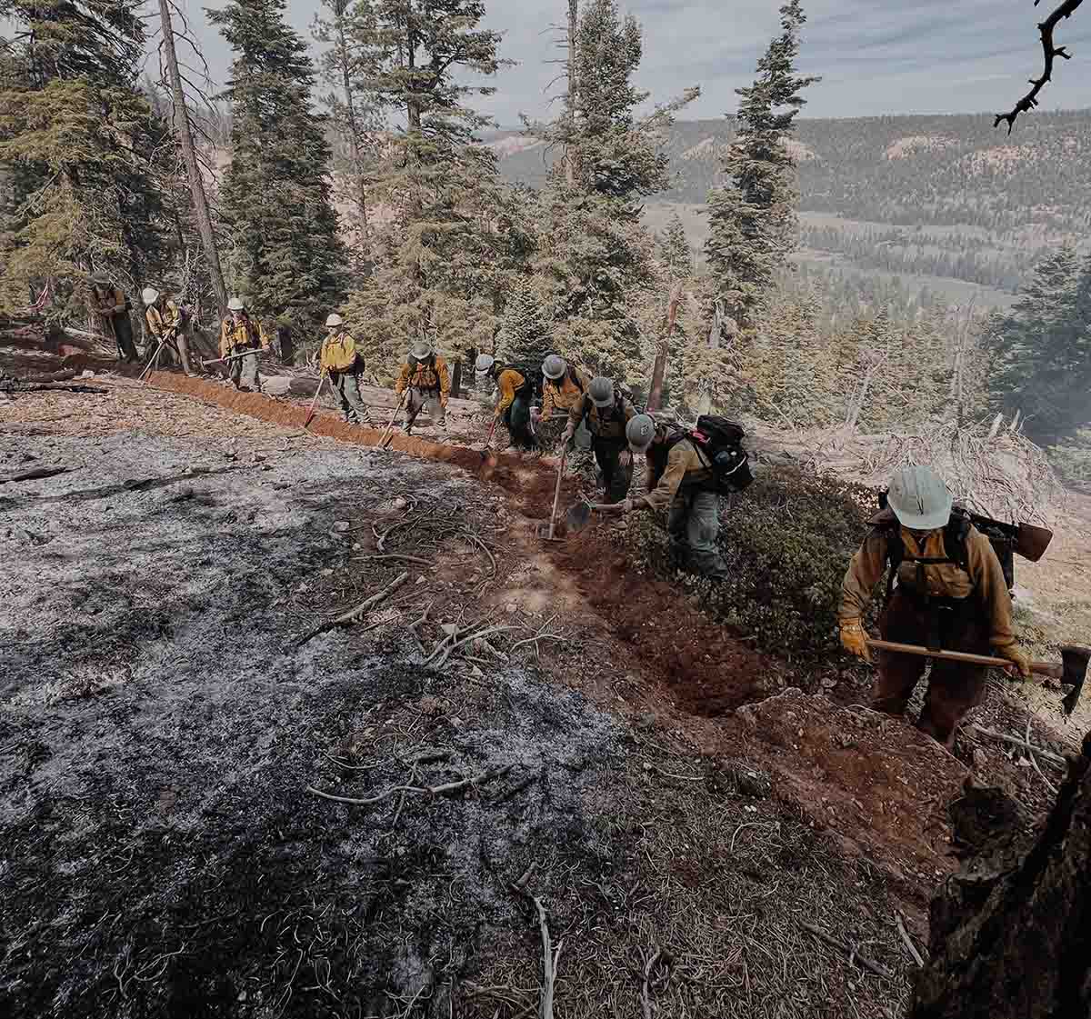
Fire Sense is basically a PSA package geared toward educating Utah’s residents about how they can help avoid starting wildfires throughout the state. All of the usual bases are covered, including telling people to put out their campfires, not drag chains, and not fire guns on hot and windy days. The execution of the project, however, seems to be what made it so effective.
“This strategy worked because Fire Sense is common sense!” according to FFSL . More details on the Fire Sense program are available from the utahfiresense.org website.
Smokey Award Levels:
- Silver: This is the highest honor given to organizations or individuals for outstanding wildfire prevention service that is regional (multistate) in scope over at least a two-year period. A maximum of five Silver Smokey Bear awards may be given annually.
Bronze: This is the highest honor given to organizations or individuals for outstanding wildfire prevention service that has impact within a state over at least a two-year period. A maximum of 10 Bronze Smokey Bear awards may be given annually.