Updated at 8:12 p.m. MDT June 21, 2021
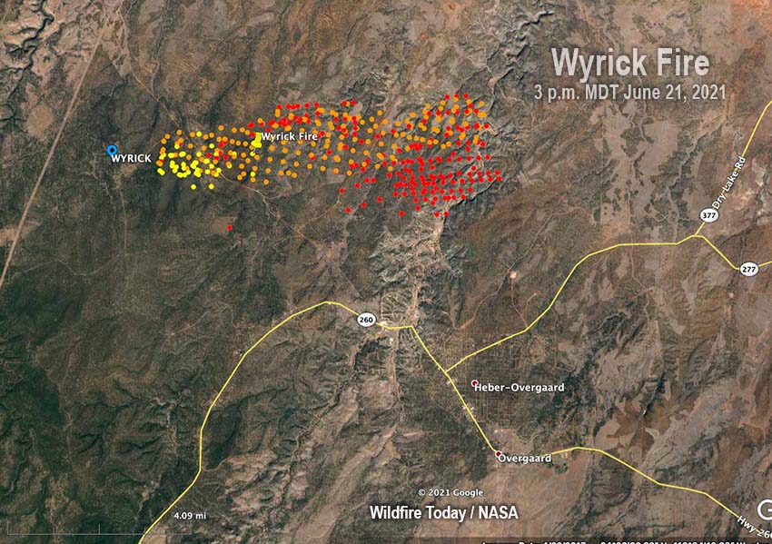
On Monday during a 3 p.m. satellite overflight the Wyrick Fire was about 2 miles north of Highways 260 and 277 at the closest points, and was three miles from the intersection of the two highways. Most of the spread of the fire on Monday was on the southeast side toward Heber.
To see all articles on Wildfire Today about the Wyrick Fire, including the most recent, click HERE.
From the Incident Management team at about 6 p.m. Monday:
“The Wyrick Fire has advanced toward Heber, and reached a starting point for setting evacuations into motion in Heber and Overgaard. Current status as of 3 pm:
“Areas in READY Status: Overgaard south of Highway 260 High Country Pines in Heber Kendall Ranch / Camp Ponderosa.
“Areas in SET Status: Areas in Heber not identified as Ready or Go status Chevelon Ranches and Retreat Communities in Overgaard south of Highway 277 and North of Highway 260.
“Areas in GO Status (leave now): Antelope Valley Despain Ranch Heber and Overgaard North of 260 AND 277.”
Originally published at 9:56 p.m. MDT June 20, 2021.

During the first four hours after it was reported at 2 p.m. Saturday June 19, the Wyrick Fire in east-central Arizona was mapped at 173 acres. But Sunday the lightning-caused fire grew substantially while being pushed by outflow winds from thunderstorms. Based on heat detected by satellites, by 3:18 p.m. MDT it had grown to at least 450 acres.
An advisory from the Incident Management Team Sunday afternoon said it was 1.5 miles from 95A and was spreading in all directions.
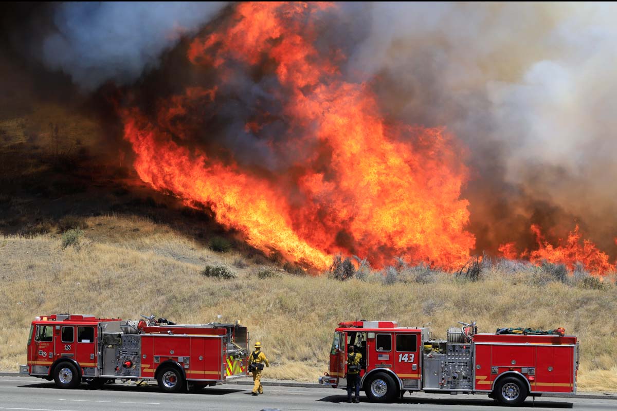
Late in the afternoon it was producing a very large smoke column topped by a pyrocumulus cloud and causing spot fires up to one-quarter mile ahead. It is burning in pinyon-juniper and grass.
At 3:18 p.m. Sunday the fire was in the Apache Sitgreaves National Forest 5 miles northwest of Heber, 3 miles north of Highway 260, and 48 miles east of the Backbone Fire. (See the map below.)


