October 11, 2020 | 10:44 p.m. MDT
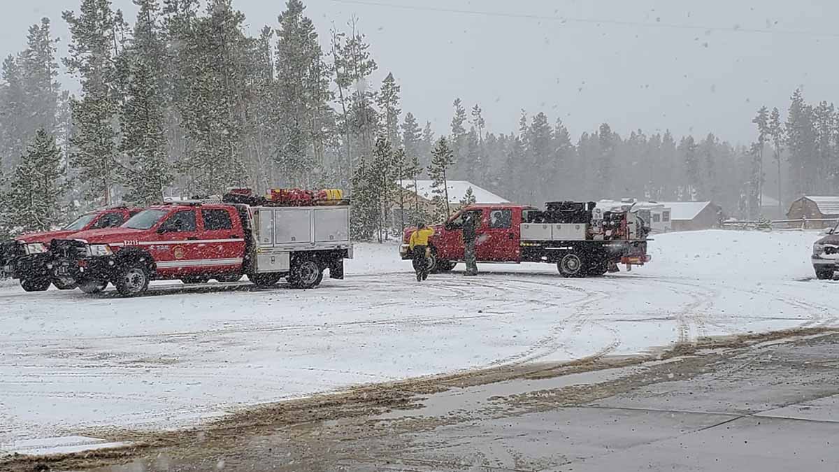
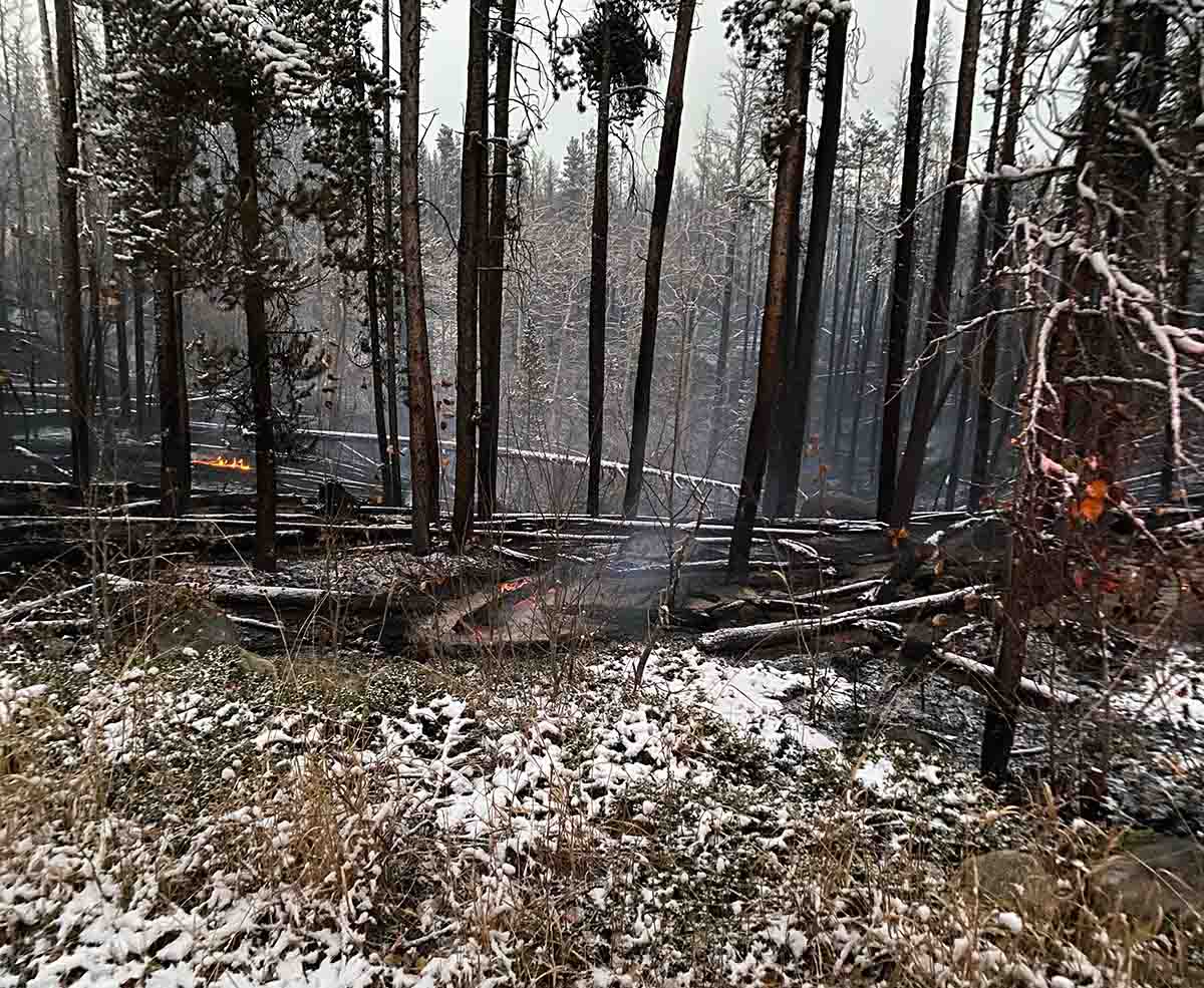
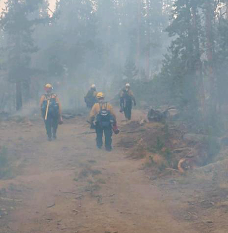
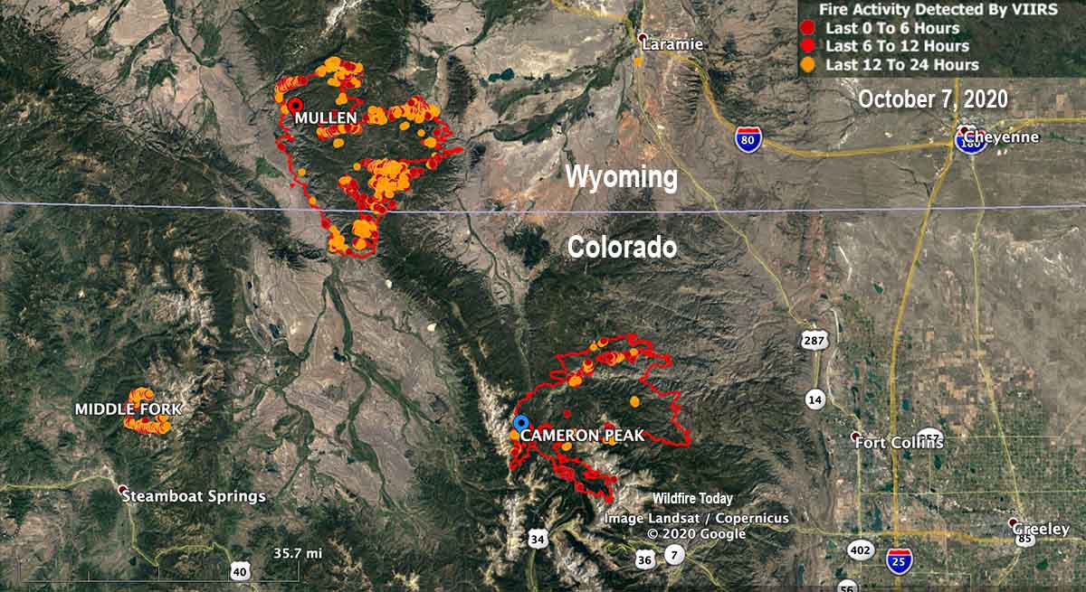
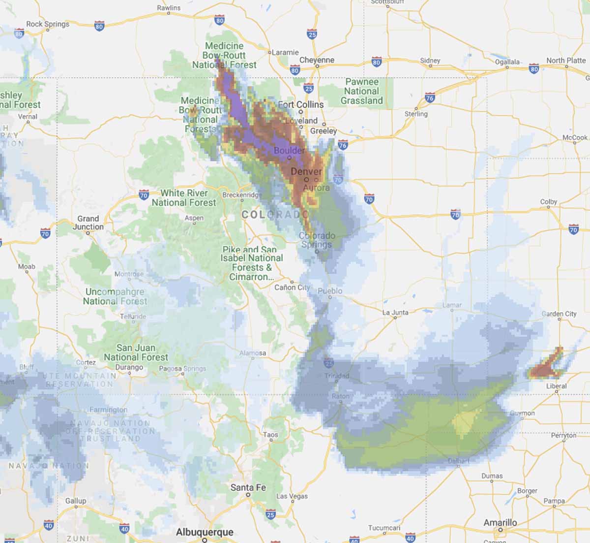
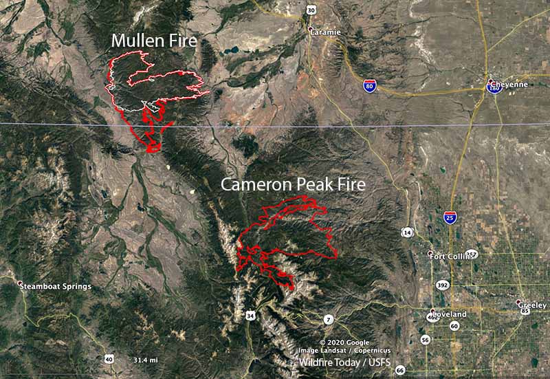
Rain and snow hit portions of three fires in north-central Colorado Sunday slowing the spread of the Cameron Peak, Middle Fork, and Mullen Fires.
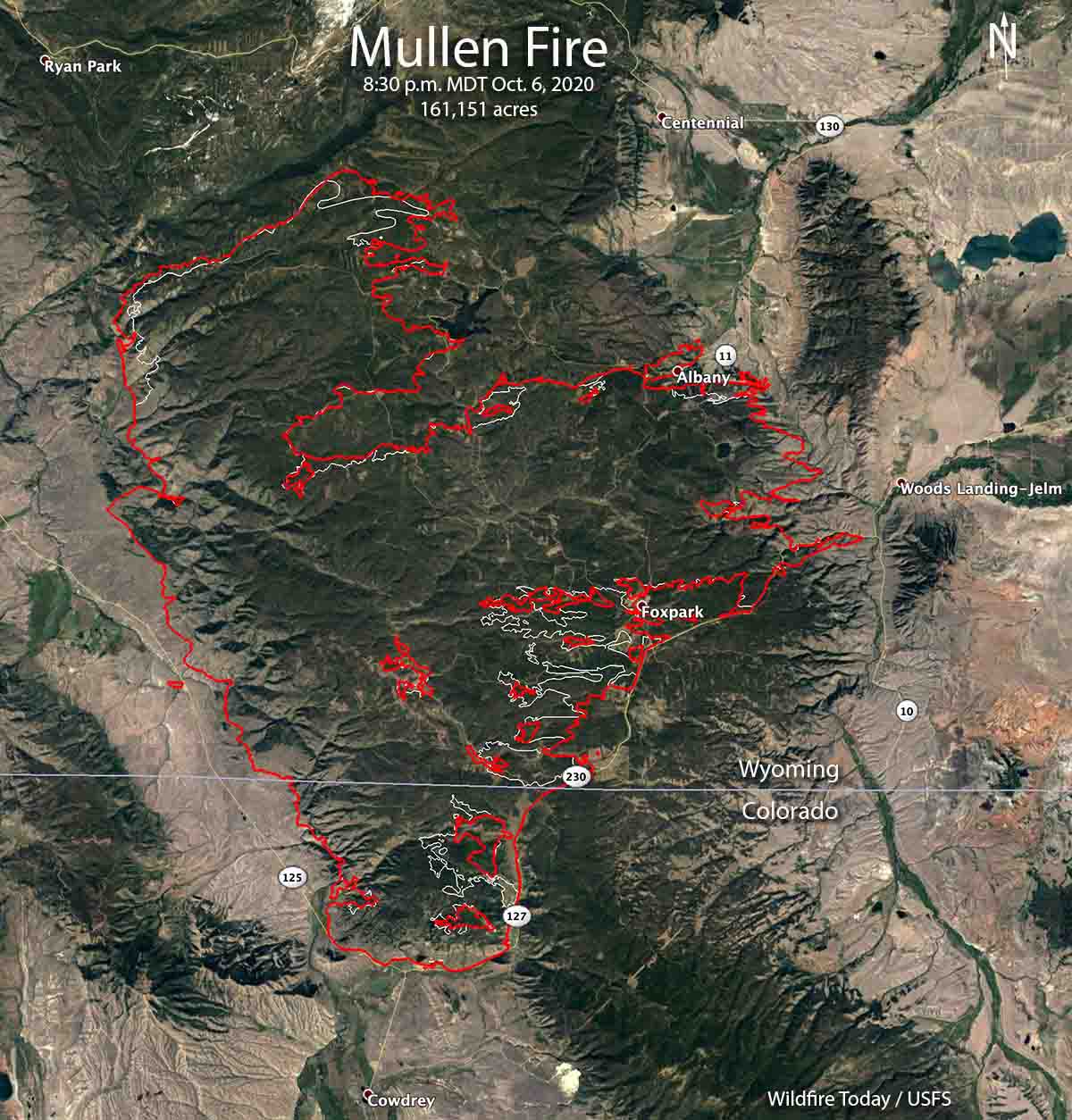
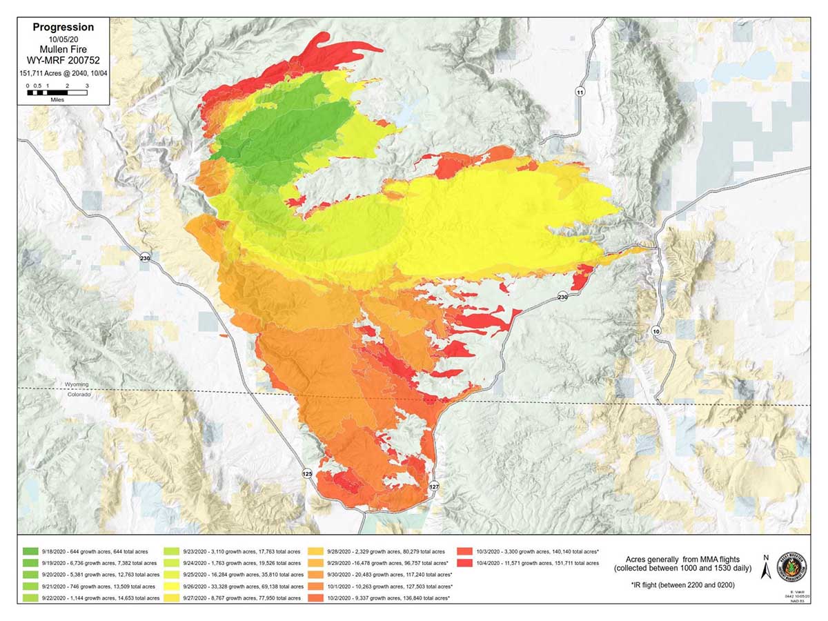
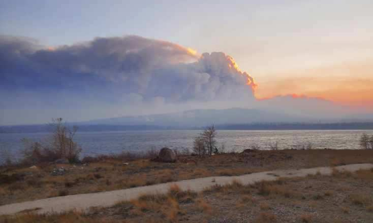
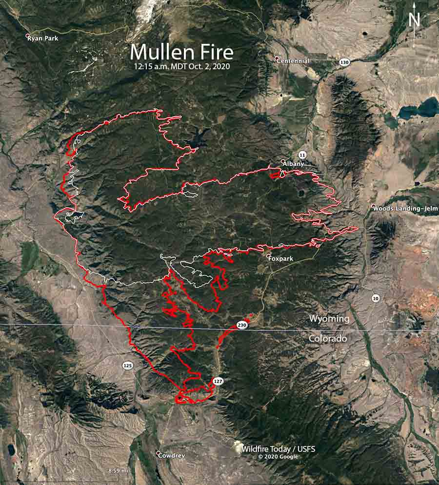
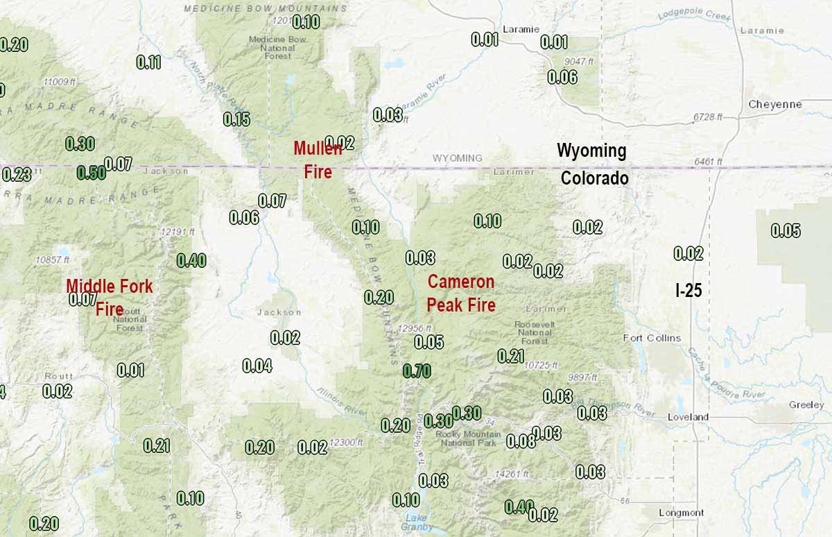
The Mullen Fire which extends across the state line into Wyoming had received one-half to two inches of snow by mid-afternoon Sunday in the higher elevations. The fire has burned 175,535 acres in the two states.
To see all articles on Wildfire Today about the Cameron Peak Fire, including the most recent, click here.
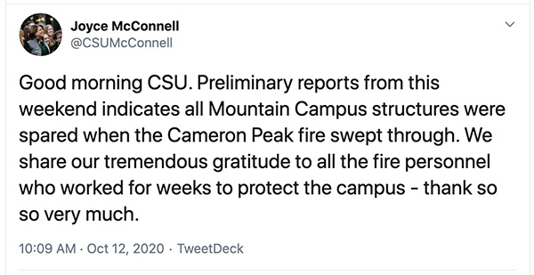
The 134,559-acre Cameron Peak Fire, which burned up to the Colorado State University Mountain Campus, received about one inch of snow in the higher elevations.
A weather station near the 17,832-acre Middle Fork Fire north of Steamboat Springs recorded 0.07″ of precipitation Sunday.
Strong winds are in the forecast for the area through Wednesday. The temperature in the higher elevations of the Mullen Fire will reach about 20 degrees or lower Sunday night. The forecast for Cowdrey, Colorado near the Mullen Fire calls for mostly sunny skies Monday through Wednesday, high temperatures around 60, relative humidity of 20 percent, and afternoon winds gusting at 30 to 50 mph out of the west and southwest.
A small amount of rain or snow is unlikely to completely put out these fires which are mostly burning in timber. It will be interesting to see how much the fuels dry out in the next three days with very strong winds, sun, and low humidities.
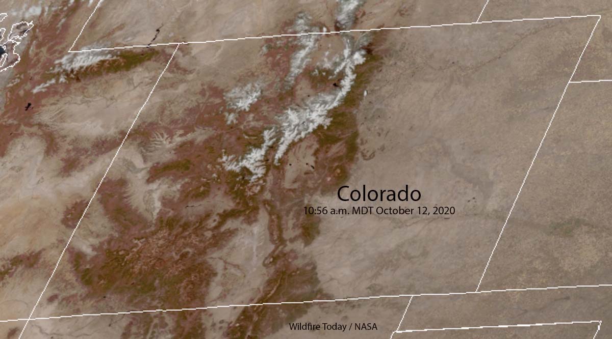
UPDATE at 12:10 p.m. MDT October 12, 2020. The satellite photo below shows snow in the mountains of north-central Colorado at 10:56 a.m. MDT October 12, 2020.
