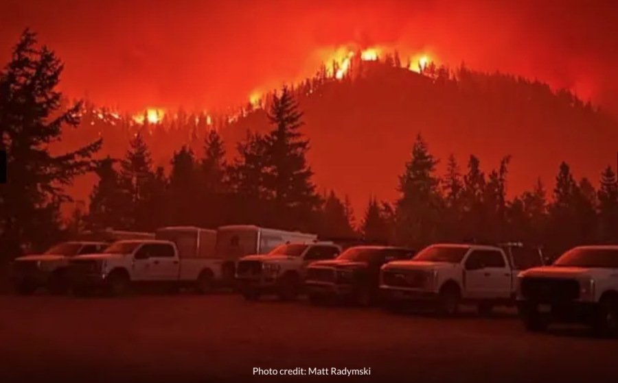
There’s only one way in and out of the Canadian municipality of Whistler.
The Coast Mountains surround the forested British Columbia town north of Vancouver, giving Whistler its world-renowned trait of being North America’s largest ski resort community. The rocky slopes, however, occasionally cause transportation problems for Whistler’s residents. Highway 99, the only passage through the southern parts of the mountain range, stands as residents’ only escape route during times of emergency.

The frequently suffocated roadway and recent devastating wildfires in the nearby communities of West Kelowna and Kelowna pushed the perennially snow-focused municipality to begin serious planning for a potential fire disaster. Most Whistler neighborhoods are classified as “interface,” but the wildland and ornamental fuel load between residences have characteristics of an “intermix,” or homes being within a forest community. Because of this, Whistler scores high in the plan’s “overall fire risk” category.
Whistler’s pervasive forest primarily drove town officials to take a more proactive approach to wildfire defense in its creation of a community wildfire defense plan.

“Typically when a wildfire is approaching a community, these defense plans are done at the time as it’s approaching,” Whistler Fire Chief Thomas Doherty told Global News journalists for a recent article. “Obviously wildfire specialists will come in and assist with doing these neighborhood defense plans. We’ve done that in advance. We believe we’re one of the first municipalities to do this type of plan, to have this information readily available ahead of time.”

The approach Doherty references includes increasing FireSmart education for residents and visitors, changing municipal legislation and community planning with a wildfire resiliency focus, increasing interagency and firefighters’ wildfire response, and continuing strategic vegetation management efforts.
 Global News, in their conversation with Doherty, reports that one of the tools created from this plan includes 19 tactical sheets and GIS maps for various critical infrastructure and water source locations, identifying which neighborhoods have a one-way-in and one-way-out access, and safe zones for responders during times of emergency. All this information will reportedly be available to fire personnel through scannable QR codes.
“Extremely critical to have all this information done in advance,” Doherty said. “It’s just unfortunate when an event does occur. At least we’re that much more prepared. And we have all that information readily available.”
You can read the full Whistler Community Wildfire Defense Plan [HERE].
The Coast Mountains surround the forested British Columbia town north of Vancouver, giving Whistler its world-renowned trait of being North America’s largest ski resort community. The rocky slopes, however, occasionally cause transportation problems for Whistler’s residents. Highway 99, the only passage through the southern parts of the mountain range, stands as residents’ only escape route during times of emergency.
