Hilary Franz, Washington DNR, discusses initial attack and aerial firefighting

Commissioner of Department of Natural Resources

Hilary Franz, Commissioner of Washington State Department of Natural Resources
Hilary Franz, Commissioner of Washington State Department of Natural Resources spoke at the Aerial Firefighting Conference in San Diego., March 22, 2022. Photo by Bill Gabbert.

(This article was first published at Fire Aviation)

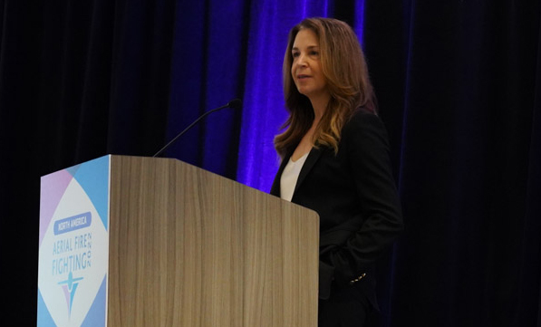
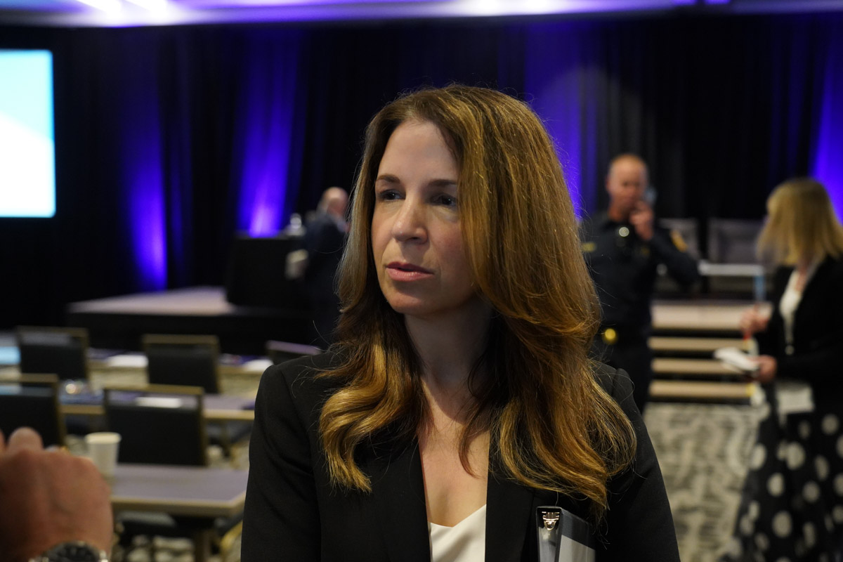
Hilary Franz, Commissioner of the Washington State Department of Natural Resources began her presentation Tuesday at the Aerial Firefighting Conference by describing a Christmas card sent by one of her predecessors in 1963. Commissioner Bert Cole wrote lamenting the devastation that the wildfires had caused that year in the state, burning 663 acres.

“The threats we face today,” she said, “is claiming 1,000 times that amount. Our firefighters face lengthening wildfire seasons starting earlier and ending later.”

When she was elected in 2016 to serve as Commissioner, the DNR had 40 full time firefighters and, “We had zero dollars appropriated every single year by the legislature to wildfire,” she said. “In fact, a legislature report just a decade ago concluded that the nine Vietnam-era Huey helicopters were too much and we might want to let a few of them go.”

But as fires have increased in recent years the policy of the DNR is now to launch helicopters “the moment smoke is in the air,” with the goal of keeping 90 percent of the fires to less than 10 acres.

In 2018 large fires in every corner of the state burned 440,000 acres. The DNR attempted to borrow aviation resources from other areas but none were available. Then 2020 was also very busy. By Labor day they had added another Huey to the fleet to bring the total up to ten and had a handful of single engine air tankers when the firestorm hit on the holiday. A small boy was killed as his family tried to outrun [the Cold Springs Fire].

Hilary Franz, Commissioner of Washington State Department of Natural Resources
Hilary Franz, Commissioner of Washington State Department of Natural Resources, spoke at the Aerial Firefighting Conference in San Diego., March 22, 2022. Photo by Bill Gabbert.

“It was my first civilian loss in this job,” she said, “and I swore I’d do anything and everything to prevent that ever happening again. As the fires were blazing and increasing in size, once again, we were calling for more air resources to help us contain these fires. And once again, because fires were burning up and down the entire west coast with even worse destruction, we heard that there were none available and we didn’t have enough values at risk. In 2021 I said I would never ever do 2020 again. I would never rely on another state or federal agencies [for the resources we need]. We will definitely continue to partner, but we also need to take responsibility for ourselves. My one responsibility is to protect the people of Washington and the firefighters who put their lives on the line.”

In 2021 the fires were even worse in Washington, Oregon, and California. The nation was at Preparedness Level 5, the maximum, for months. The number of aviation resources in Washington grew from about 10 to 35. The way they were staged across Washington made it possible to have an aircraft at a fire within 10 to 30 minutes. More than 98 percent of the fires were suppressed during initial attack, and 94 percent burned less than 10 acres.

“Because we have so few resources to do the job we need to do, to me it’s actually basic,” the Commissioner said. “Don’t play with fire. If a fire starts put it out immediately. It costs less and does far less damage the smaller it is and the sooner you can catch it. So while I’m personally afraid to fly, I’m not afraid of others flying.”

After listing and thanking the aerial firefighting companies that helped provide aviation resources in 2021, she said, “Your aircraft truly helped us prevent what could have been one of the worst fire season in my lifetime.”

In April, 2021, Washington’s House Bill 1168 was signed by the governor. It commits $125 million every two years over the next four biennial budgets ($500 million in total) to boost wildfire response, accelerate forest restoration, and build community resilience. The bill makes it possible to hire 100 more firefighters, increase the number of firefighting aircraft, detect new fires more quickly, and begin fighting fires at night with helicopters.

After she spoke at the conference, we spent a few minutes with Commissioner Hilary Franz to get a few more details which you will see in the video below.

Multiple atmospheric rivers to bring massive precipitation to West Coast

Portions of Northern California may receive more than 10 inches of precipitation during the next 7 days

9:58 a.m. PDT October 21, 2021

Cumulative precipitation, Oct. 21-28, 2021
Cumulative precipitation, Oct. 21-28, 2021. Issued 5 p.m. PDT Oct. 20, 2021.

Forecasts are still being fine-tuned, but it appears likely that areas of Northern California, Oregon, and Washington will receive huge amounts of precipitation over the next seven days, with portions of Northern California getting more than 10 inches.

At least four waves of atmospheric rivers are barreling across the Pacific targeting the West Coast. The animated GIF below illustrates the progression of these “rivers.”

atmospheric rivers

Predictions are subject to change, but the first band, beginning Thursday morning, will have the heaviest impacts in WA, OR, and northwest CA.

Sunday morning will bring another, centered in Central California.

The third wave will start to come through Tuesday, with the heaviest precipitation expected in Northern CA and OR.

The forecast could change over the next seven days, but the prediction is that another wave will primarily impact OR and WA on Thursday, Oct. 28.

With it already being the second half of October, it is likely that these atmospheric rivers will bring an end to the wildland fire season in Washington, Oregon, and Northern California. Most of Southern California south of Santa Barbara is expected to receive less than a half inch of precipitation, so if the rest of of the year there is warm, dry, and windy the area could still see more wildfire activity.

The three-month temperature and precipitation outlook issued today predicts November through January conditions in SoCal that will be warmer and drier than average. But if significant precipitation occurs in the next seven days, it would require some serious Santa Ana wind events to dry the soils and vegetation enough to enable large fires to occur.

Three-month temperature and precipitation outlook
Three-month temperature and precipitation outlook issued October 21, 2021.

Former Colfax, Washington Fire Chief dies while fighting wildfire

He had served with the department for 52 years

Jim Krouse
Jim Krouse. Photo: Colfax FD.

The Fire Department in Colfax, Washington released information about a line of duty death that occurred over the weekend:


Longtime Colfax Fire Chief Jim Krouse, who had served as Colfax chief for 40 years and a volunteer in Colfax for 52 years, died from an apparent heart attack Saturday afternoon while responding to his fourth call of the day.

Krouse was responding around 3 pm to a wildfire on Green Hollow Road and was pulling hose at the fire scene when he collapsed.

Colfax ambulance quickly responded and emergency medical care was given to Krouse on the scene and immediately transported to Whitman Medical Center in Colfax. Assistant Chief Craig Corbeill, who responded with the ambulance, said physicians worked on the former chief but they were not able to revive him.

Crews from several fire departments managed to control the fire.

Word quickly spread of Krouse’s passing. When the firefighters were finished they assembled at Whitman Medical Center and started the procession with the ambulance that carried Krouse’s body draped in an American flag to the Bruning Funeral Home escorted by Whitman County Sheriff’s Department and the Washington State Patrol.

Chief Michael Chapman met with his firefighters at the fire station, many of whom served with Krouse for a number of years, to help them debrief from the situation and to share stories about the former chief.

Chapman said there will be a critical incident debriefing in the next 24-72 hours for those on the scene today and those who served with Krouse for some of those 52 years.

Corbeill said that “Krouse was like a kid in a candy store” when he was making his fourth run Saturday, driving a water tender to the Green Hollow Road fire. Krouse who served as Colfax Chief from 1972 to 2010, followed his father, Earl, who was chief prior to Jim.

Because there was a fatality with the wildfire, fire marshal Chris Wehrung and Assistant Fire Marshal Tony Nuttman investigated the fire and to help determine the cause. At the time of this release, Nuttman, who is serving as the lead investigator, said the cause remains under investigation.

Final arrangements for Chief Krouse are pending at the Bruning Funeral Home in Colfax.

Thanks and a tip of the hat go out to Dan.

Firefighter dies at brush fire in Spokane County, Washington

Cody Traber firefighter
Cody Traber. Photo on left by Spokane County FD. Photo on right by Robert J. Shaer in 2002.

A firefighter with Spokane County Fire District 9 died while at a brush fire Thursday in Washington.

According to the Spokane County Sheriff’s Office, Mr. Traber fell from the Wandermere Bridge on Interstate 395.

In a Facebook post the Fire District said Mr. Traber was an 18-year veteran of the District and previously served at the Department of Natural Resources and two other fire departments. He leaves behind his wife, Allisyn and four young children.

We send out our sincere condolences to Mr. Traber’s family, friends, and co-workers.

Wildfire smoke and air quality maps, August 19, 2021

Forecast for vertically integrated smoke
Forecast for vertically integrated smoke at 10 p.m. PDT Aug. 19, 2021.

Smoke from wildfires will have serious impacts Thursday in California, Washington, and eastern Canada. The smoke forecast for 10 p.m. PDT is above.

The map below depicts the air quality at 7:26 a.m. PDT Aug. 19, 2021, by AirNow.

Air quality: ozone, PM2.5, & PM10
Air quality: ozone, PM2.5, & PM10 at 7:26 a.m. PDT Aug. 19, 2021. AirNow.

Twentyfive Mile Fire prompts evacuations at Lake Chelan, Washington

Estimated at 4,200 acres Monday evening

9:03 p.m. PDT Aug. 16, 2021

Map of the Twentyfive Mile Fire
Map of the Twentyfive Mile Fire at 5 p.m. PDT Aug. 16, 2021. The red shaded area represents intense heat. Scroll down for a map with a wider view.

A mapping flight of the Twentyfive Mile Fire at 5 p.m. Monday determined the fire had burned 4,262 acres and had spread into the footprint of the 2015 First Creek Fire.

Fire personnel reported that they expect the strong northwest winds predicted through Tuesday will push the fire unchecked to the south and east toward the community of Chelan. Lack of resources will hamper any ability for containment, they said.

A Type 3 Incident Management Team is in place and a Type 2 team has been ordered and will arrive on Wednesday.


11:53 a.m. PDT August 16, 2021

The Incident Management team released information about the Twentyfive Mile Fire at 11:00 Monday morning. They estimate the size at 4,000 acres, up from the 2,000 estimated Sunday evening. One structure has been destroyed and 135 are threatened.

The incident is under the joint jurisdiction of the Okanogan-Wenatchee National Forest, Washington Department of Natural Resources, and Chelan County Fire District 7. A Type 3 Incident Management Team led by Incident Commander Escobar assumed command  at 6:00 a.m. today. Additional resources are continuing to arrive to supplement the 150 on scene.

Aircraft will be using Lake Chelan as a water source for dipping and scooping, so boaters are advised to give them a wide berth.


9:49 a.m. PDT August 16, 2021

3-D map of the Twentyfive Mile Fire
3-D map of the Twentyfive Mile Fire looking southwest at 2:41 a.m. PDT August 16, 2021.

A fire reported at 3:45 p.m. Sunday near Lake Chelan in Washington quickly grew to about 2,000 acres. Satellite data indicates that it is burning on both sides of Twentyfive Mile Creek; hence the name, Twentyfive Mile Fire. (See the map above.)

The blaze is on the west side of Lake Chelan at the north end of South Lakeshore Road 14 miles northwest of Chelan and 7 miles northwest of Manson near Grouse Mountain Campground.

Satellite heat sensing data shows that it has burned close to Lake Chelan. With Sunday’s fire behavior described by personnel on scene as “extremely long-range spotting”, it is not inconceivable that the Twentyfive Mile Fire could spot across mile-wide Lake Chelan — IF it was burning very intensely with a strong south or west wind. At 2:41 a.m. satellite data showed the fire was about two miles by two miles.

Map of the Twentyfive Mile Fire Washington Lake Chelan
Map of the Twentyfive Mile Fire. The red dots represent heat detected by a satellite at 2:41 a.m. PDT Aug 16, 2021. North is at the top of the map.

Mandatory “leave now” evacuations are in effect. Chelan County has a map showing the areas for “level 3” (go now), “level 2” (get set to leave immediately if necessary), and “level 1” (get ready to leave). Yes, the evacuation nomenclature is confusing.

A weather station that may be within the fire perimeter (WAOWF QD 1702) recorded 5 mph winds out of the north and northwest Sunday with 8 to 18 mph gusts while the relative humidity was in the teens and the temperature was in the 90s. At 8:30 Monday morning it was 71 degrees, 37 percent RH, with very little wind. The forecast for the fire area Monday afternoon calls for 13 mph winds out of the northwest gusting to 20 mph, 80 degrees, and 30 percent RH. On Tuesday the northwest winds will increase to 16 mph gusting at 22 to 30, but with the RH around 40 percent and an 18 percent chance of rain Monday night and Tuesday.

There are two other fires from 2013 and 2014 with similar names as you can see on the map below. The current Twentyfive Mile Fire started in an area that has not burned in at least 21 years. There were two large fires in 2004 to the north and south. On the southeast side is the footprint of the 2015 First Creek Fire which it may have already burned into.

Fire history Twentyfive Mile Fire
Fire history since 2000, vicinity of the Twentyfive Mile Fire

Thanks and a tip of the hat go out to Kelly.