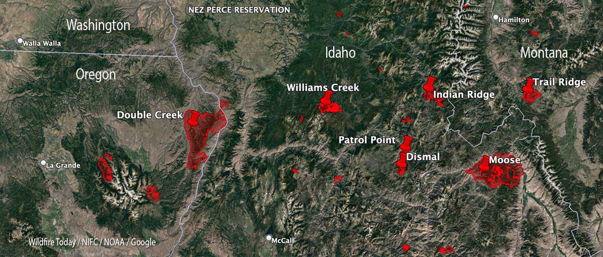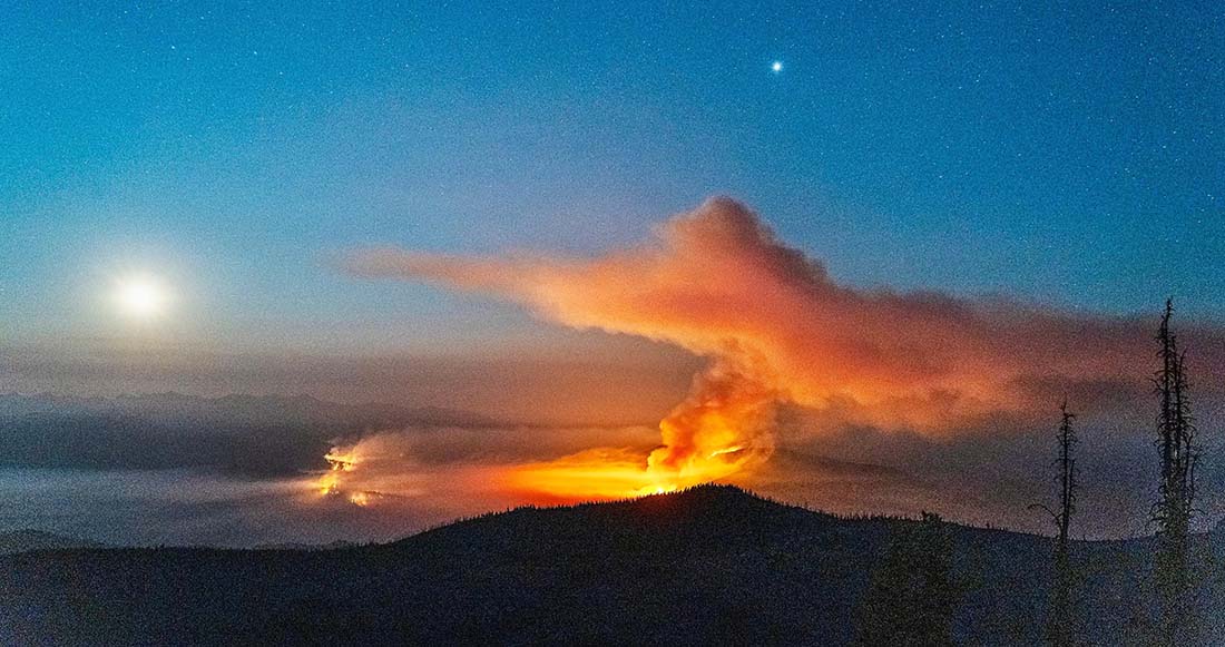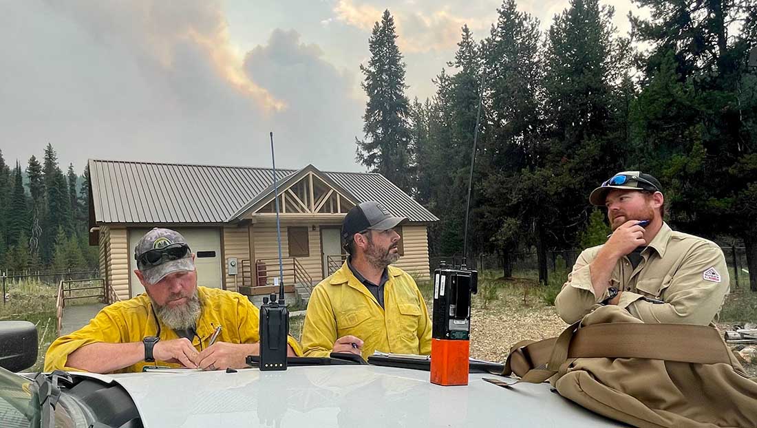
With 35 large uncontained wildfires currently burning in the United States, and many, many more in various categories, we can’t report extensively on all of them, so today we will take a slice of geography and look briefly at seven fires spreading in the Central Idaho area, and extend it just a bit into Oregon and Montana.
Moose (Idaho)
The largest of these seven fires is the Moose, which has been chewing through eastern Idaho since July 17. As far as the cause, the Salmon National Forest says, after almost two months, it is “human caused,” which only eliminates the causes of volcano and lightning. Nine structures have been destroyed. On Friday 650 personnel are assigned to the 125,000-acre blaze which is 5 miles northwest of Salmon, ID. A satellite overflight Friday afternoon only found large heat sources in the southeast portion and that is where an additional 15,000 acres burned Wednesday night, prompting evacuations near Salmon.
Crews reengaged the fire and began preparing new contingency lines along the west edge of the city. Several water pumps, five log decks, and some portable water storage tanks (nicknamed pumpkins because of their shape and color) were destroyed Wednesday. No firefighters were injured. Nearly 500 acres of the city’s Municipal Watershed burned that night, something the various incident management teams had been trying to protect since July.
Cooler temperatures, higher relative humidity, and thick smoke contributed to minimal fire behavior across the fire Thursday.
Indian Ridge (Idaho)
Northwest of the Moose Fire near the Montana border is the lightning-caused 8,670-acre Indian Ridge Fire on the Bitterroot National Forest. It is in the Selway-Bitterroot Wilderness 30 miles southwest of Darby, Montana. The fire has been active this week primarily along the western and northern flanks and north of Indian Creek as it burns through steep, rugged, remote terrain with heavy surface fuels and dead standing timber.

The fire is not being fully suppressed. Their daily reporting says, “Fire managers are utilizing a point protection strategy to prevent any critical wilderness infrastructure from being negatively impacted by the fire.”
Dismal and Patrol Point
These two fires are very close to merging after significant growth since September 6, and combined have burned an estimated 23,000 acres. They are about 50 miles northwest of Salmon, Idaho. Smoke and the unavailability of infrared mapping aircraft have made it difficult to determine the current perimeters, but there is a lot of new burned acreage between the two fires. Recent low humidity and strong winds are in part responsible for the recent growth.
Areas that fire managers intend to protect include Cold Meadows Guard Station, Root Ranch, and Lantz Bar.

Williams Creek
The 11,881-acre fire is 5 miles west of Orogrande, near Wildhorse Lake, 7 miles southwest of Elk City, and 8 miles north-northwest of Dixie.
“Resources will continue to engage the fire in Orogrande and the Crooked River corridor, addressing and extinguishing hot spots and conducting damage assessments,” said a September 9 update from the Incident Management Team. “The fire and associated winds did impact structures and outbuildings; crews are still assessing the extent of the damage. Fallen trees, burned snags, and downed power lines continue to present safety hazards.”
Double Creek (Oregon)
The 137,000-acre lightning-caused Double Creek Fire is in Oregon just west of the Idaho border. It has burned to the Snake River in the Pittsburg Landing area. A River Group has been established to assess and protect structures along the waterway. The fire is being fully suppressed and crews are looking for locations to establish the control line farther from Lower Imnaha Road where topography allows. Two structures have been destroyed.
Trail Ridge (Montana)
The 13,000-acre Trail Ridge fire is on the Beaverhead-Deerlodge National Forest in Western Montana about 5 miles east of the Idaho Border and 4 miles southeast of Sula, MT. The cooler weather experienced Thursday and Friday was helpful in slowing the spread of the fire and decreasing the severity of fire behavior. It is burning above 7,000 feet elevation near the Continental Divide and there is no current or expected threat to private land and property. It is not being fully suppressed.

That’s an over simplification to let those fires burn. Thousands of people are having their health damaged perhaps permanently. Controlled burns impact air, pollution, and cause cancer. It’s not so simple. Why are they putting its fires out and saving animals and human cancer
Correct lumbering practices and controlled burning would prevent al these wildfires. Before White men came to North America, there were hundreds of small wildfires every year that kept the forests clean of debris. Allowing frequent small wildfires to burn is the only way to prevent these massive fires.