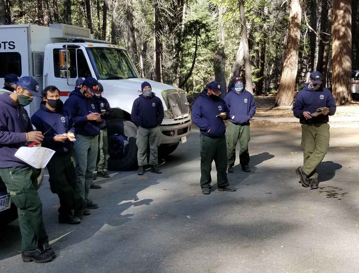
Arrowhead Interagency Hotshot Crew attend a morning briefing at the Cedar Central #RxBurn on the @SequoiaKingsNPS. Getting #ReadyForWildfire for #FireYear2020!
News and opinion about wildland fire

Arrowhead Interagency Hotshot Crew attend a morning briefing at the Cedar Central #RxBurn on the @SequoiaKingsNPS. Getting #ReadyForWildfire for #FireYear2020!
The wildfire is 58 miles east-northeast of Trinidad

(UPDATED at 11:43 p.m. MDT May 24, 2020)
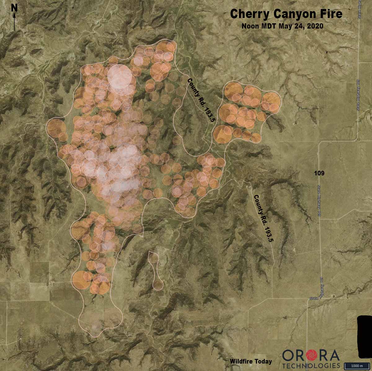
Strong winds and extremely low humidity on Saturday caused the Cherry Canyon Fire, 13 miles north of Kim, Colorado, to spread to the northwest crossing County Road 193.5 west of Highway 109. Colorado Fire Prevention & Control said Saturday evening that the fire was mapped at 11,818 acres at 5 p.m.
In a five-hour period Saturday morning the humidity dropped from 92 to 8 percent while the southwest wind was blowing at 3 to 8 mph gusting to 31, according to records from a portable weather station installed near the fire. Spread of the fire slowed Saturday night and by 7:45 Sunday morning the humidity had risen to 69 percent. Rain began falling after 4 p.m., with 0.15 inches accumulating by 11 p.m.
Below is an excerpt from a news release by Colorado Fire Prevention & Control:
Firefighters camped out on the West side of the fire last night and completed a large portion of work in the accessible terrain and will continue to monitor the inaccessible areas. Firefighters on the East side of the fire were not able to conduct burnout operations last night due to unfavorable conditions, but worked in that region today to tie in the large slopover/run from yesterday afternoon.
Additionally, while there are few structures at risk from this fire, other values, such as grazing land, water, and livestock, are very important in this region. Allowing the fire to continue to burn eliminates feed for cattle, exposes steep slopes to be susceptible to erosion, and causes health concerns from the increased smoke. As is normal in every wildfire, a risk-benefit analysis is conducted before actions are initiated; from this discussion, it was determined that rather than smoking out communities, removing grazing land for cattle and impacting communities with restrictions on travel/road closures, it is better to suppress the fire.
(UPDATED at 11:28 a.m. MDT May 23, 2020)
In an update Friday at 5:40 p.m. MDT the Colorado Division of Fire Prevention and Control said the lightning-caused Cherry Canyon Fire had burned 9,602 acres. A Type 3 Incident Management Team led by Phil Daniels is assigned.
(To see all articles on Wildfire Today about the Cherry Canyon Fire click here)
“Safety is the number one priority and as such, strategies moving forward include maintaining firefighter and public safety by utilizing sound risk management actions and utilizing suppression activities that guide the fire into natural barriers,” the agency said in a news release. “Additionally, [we are] minimizing the potential impacts of COVID-19 through the practice of social distancing, proper personal hygiene, and regular cleaning.”
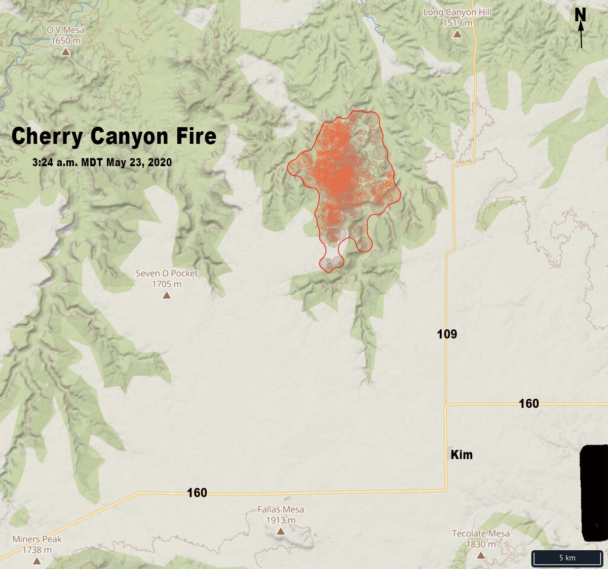
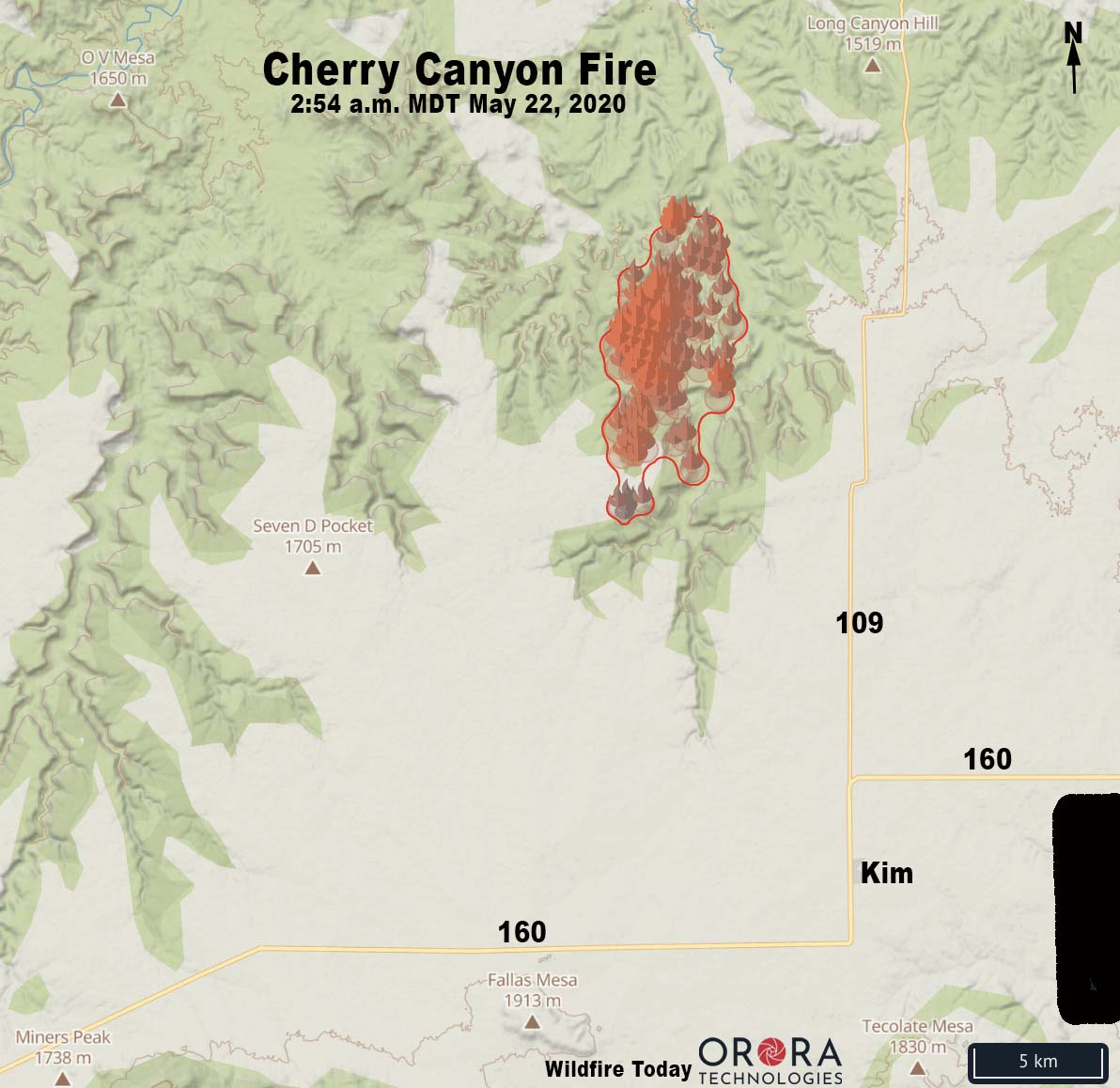
The fire is in southeast Colorado 9 miles northwest of Kim and 58 miles east-northeast of Trinidad. It was reported at 8:28 MDT on Wednesday.
Strong winds and difficult access are making fighting the fire difficult.
A Red Flag Warning is in effect again for the fire area from noon to 8 p.m. MDT today due to gusty winds, low relative humidity, and dry fuels.


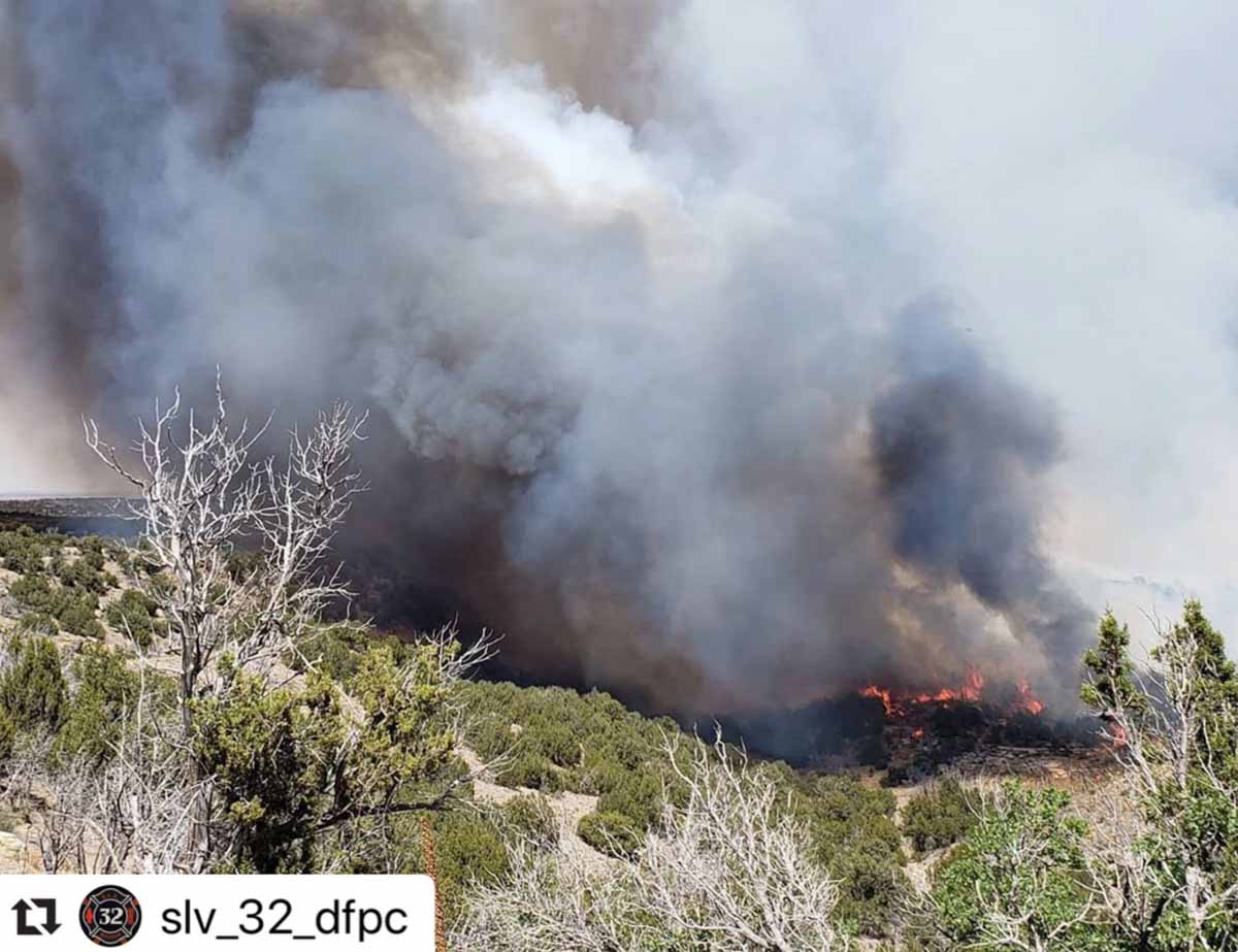

It has burned over 7,300 acres in the southeast part of the state near Kim
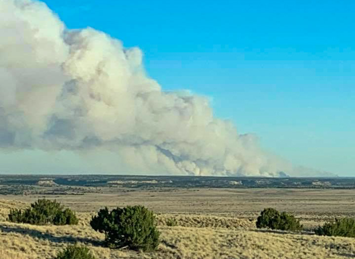
(Originally published at 11:40 a.m. MDT May 22, 2020)
The Cherry Canyon Fire that was reported May 20 grew rapidly Thursday and has now burned 7,390 acres. The fire is in southeast Colorado 9 miles northwest of Kim and 58 miles east-northeast of Trinidad.
(To see all articles on Wildfire Today about the Cherry Canyon Fire, including the most recent, click here)
From the Colorado Division of Fire Prevention and Control Friday morning:
Yesterday was the first shift for our folks on the #CherryCanyonFire near Kim, CO. The fire made an impressive 6000+ acre push yesterday due to sustained winds of around 40mph.
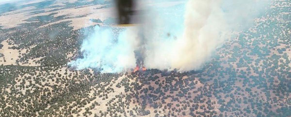
On Thursday it was burning in chaparral and short grass exhibiting extreme fire behavior with crowning, torching, and spotting. According to Friday morning’s Situation Report the firefighting resources assigned include 2 hand crews and 10 engines for a total of 61 personnel.
The area is under a Red Flag Warning Friday from 1 p.m. until 9 p.m. for 10 to 20 mph winds gusting to 35 mph, with relative humidity as low as 7 percent. A Fire Weather Watch is in effect Saturday afternoon and evening for similar conditions.


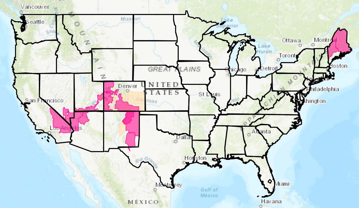
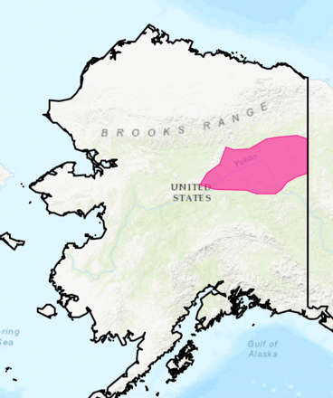
The National Weather Service has issued Red Flag Warnings for May 22 in areas of California, Alaska, Nevada, Utah, Colorado, Arizona, New Mexico, and Maine. Most of the areas will experience strong winds and low humidities, resulting in enhanced wildfire danger.
(Red Flag Warnings can be modified throughout the day as NWS offices around the country update and revise their weather forecasts.)
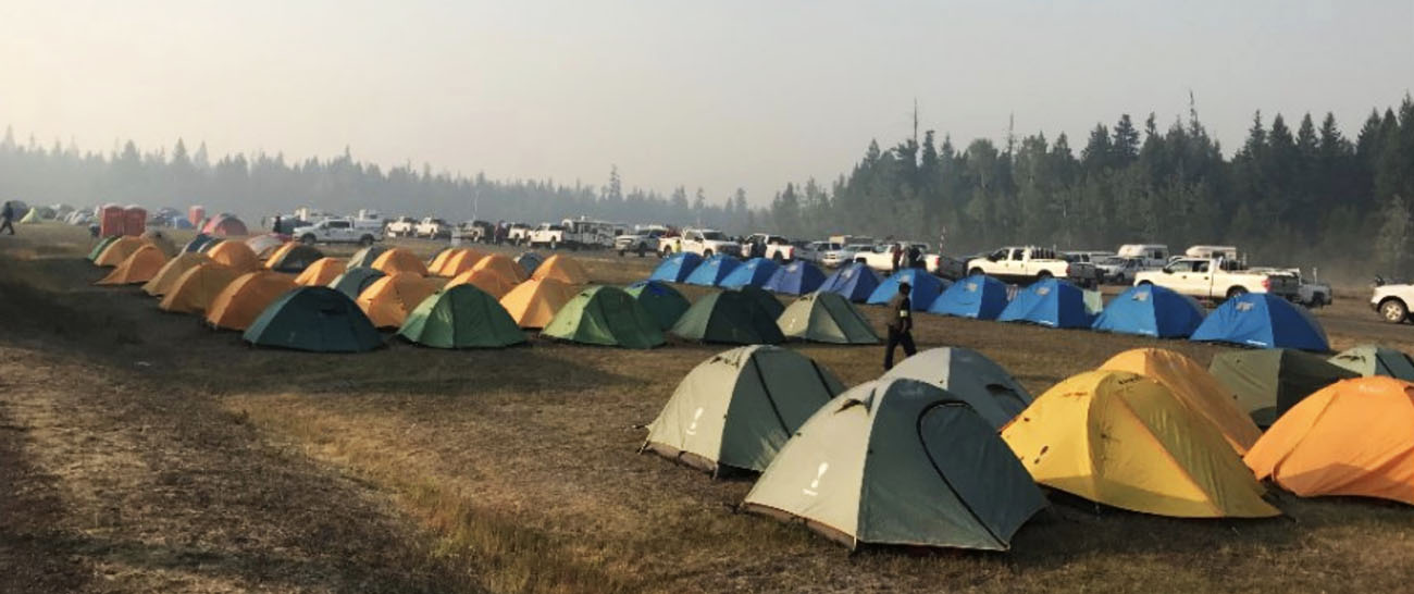
An Incident Management Team developed a response plan for the COVID-19 pandemic
Alberta Wildfire has hired an extra 200 firefighters for the 2020 season in response to the COVID-19 pandemic.
Their objectives in wildfire suppression remain to contain the spread of a fire spread by 10:00 a.m. the following day, and to initiate suppression before the fire exceeds two hectares (4.9 acres) in size.
Like their counterparts in the United States, the agency tasked an Incident Management Team to develop a response plan to ensure they can safely and effectively manage wildfires during the pandemic. They reviewed how the agency fights wildfire and adopted best practices on physical distancing, hygiene, travel, and isolation.
All firefighters will complete a screening form prior to starting each shift.
Special procedures have been established for fire camps:
A fire ban was introduced in the Forest Protection Area of Alberta as well as in Alberta Provincial Parks to reduce the number of human-caused wildfires and help firefighters focus on existing wildfires. An off-highway vehicle restriction was also introduced using a phased approach based on hazard. The fines for not complying with a fire ban or OHV restriction were doubled, to further reduce the number of human-caused wildfires.
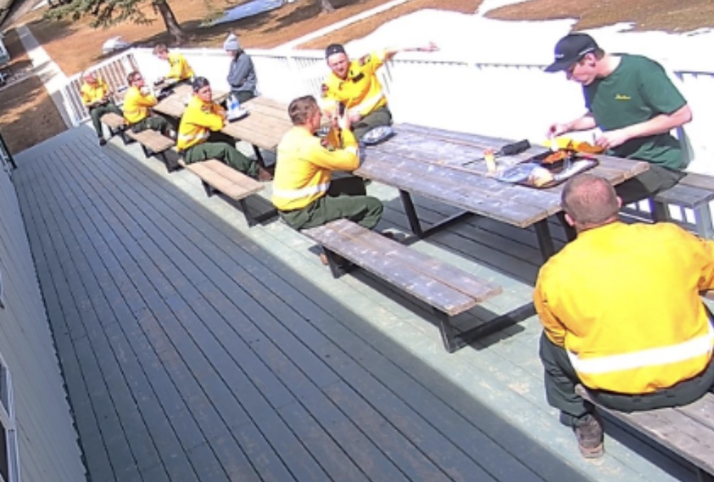
In addition to these deterrents, the Government of Alberta announced an investment of $5 million to create an extra 200 firefighting positions. An additional $20 million in FireSmart funding was announced to go towards projects that will reduce the risk to communities caused by wildfire.
The Big Timber Fire had burned 250 acres at 6 p.m. Tuesday
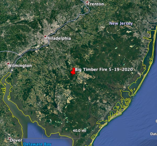
Fire officials with the New Jersey Forest Fire Service expect the Big Timber Fire in the southern part of the state to burn about 2,100 acres by the time the fire is contained within planned control lines.
The fire is 31 miles northwest of Atlantic City and 13 miles northeast of Vineland.
The fire was detected Tuesday at 1:30 p.m. by personnel in two fire lookout towers. Their azimuth readings intersected near the Blue Anchor Fire Line in the Winslow Wildlife Management Area, Winslow Township in Camden County.
The Big Timber Fire is burning in heavy brush and timber and has jumped across the Egg Harbor River. At 6 p.m. Tuesday it had burned about 250 acres.
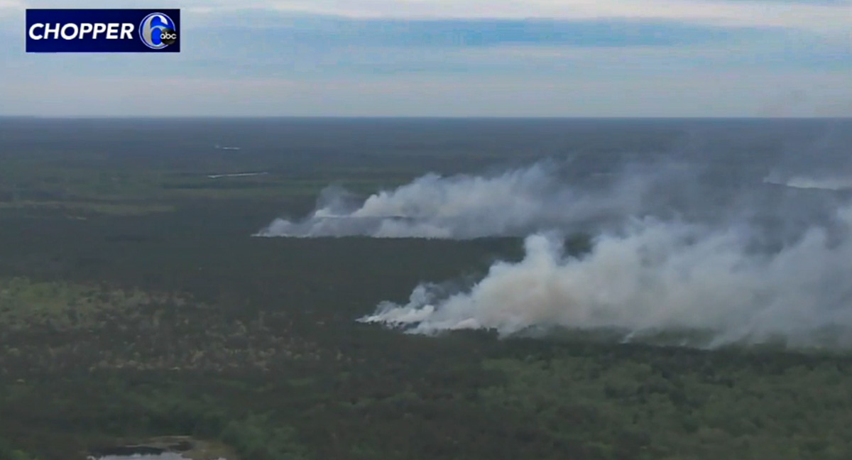
Strong gusty winds are hindering containment efforts. The forecast is for east-northeast winds to continue through Tuesday night at 13 to 17 mph with the relative humidity in the 50s. On Wednesday the winds will be about the same as the RH dips into the low 40s in the afternoon with a high temperature of 59. Cloud cover Tuesday night and on Wednesday should be 85 to 90 percent.
Residents in Baltimore and possibly Washington, DC, 90 and 115 miles away respectively, might smell the smoke Tuesday night and Wednesday.
