Dozens of lawmakers sign letter supporting an increase in pay for federal firefighters

In 2021 40% of the requests for hand crews and 29% of the requests for engines were unfilled

U.S. Capitol building
The U.S. Capitol building. Photo by Bill Gabbert.

A letter signed by a bipartisan group of 28 lawmakers urged that steps be taken to avert critical staffing shortages in the wildland firefighting workforce. The document was sent May 10 to the Director of the Office of Personnel Management (OPM) and the Secretaries of the Departments of  Agriculture and the Interior.

It noted that years of low pay and other issues “have hollowed out the federal wildland firefighting workforce.” Last year 1,858 (40 percent) of the orders for hand crews were unfilled, and 1,853 (29 percent) of orders for engines were unfilled. In addition, the number of cancelled orders were 32 percent of crew orders and 22 percent of engine orders. There can be multiple reasons why orders are cancelled, but they can include the order sat unfilled and the requesting unit gave up, or finally the need no longer existed. The number of orders actually filled in 2021 were 27 percent for crews and 49 percent for engines.

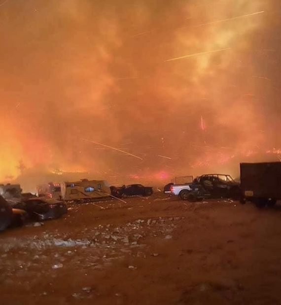
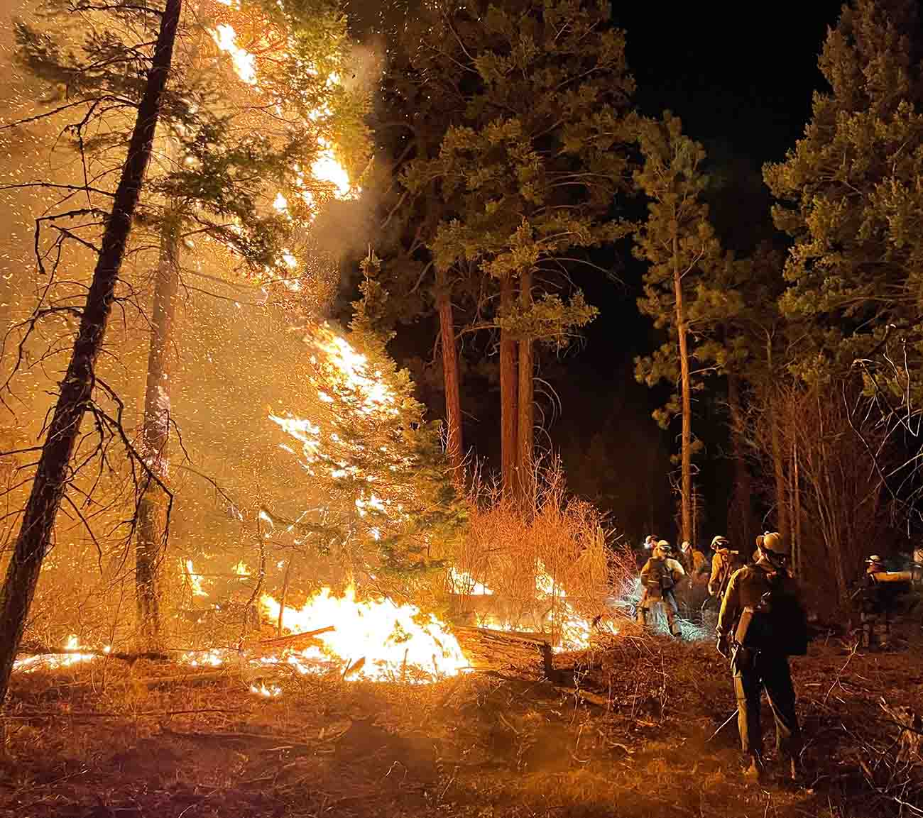
“In one state, the U.S. Forest Service had 60 engines idle because of low staffing in the midst of the largest fire in state history,” the lawmakers wrote. “Such shortages exist throughout the West heading into the 2022 fire season, with officials estimating staffing will be below 75% in some regions. This is an urgent threat to natural resources, public safety, and taxpayer dollars, as the Federal Government pays a premium to contract and borrow firefighting resources from state and local authorities when federal resources are unavailable. ”

The lawmakers urged the OPM to use their authority for establishing special pay rates when staffing problems are caused by significantly higher non-Federal pay rates, remoteness of the location involved, or the undesirability of the working conditions.

One of the provisions in the Infrastructure Investment and Jobs Act passed last year required the two Departments and the OPM to establish a new “wildland firefighter” occupational series. The lawmakers warned yesterday that “a new series that maintains the status quo could lead to a surge in resignations just as fire season begins.”

The letter linked the lack of “portal-to-portal” pay with recruitment and retention difficulties:

“Many state and local firefighters are paid on a “portal-to-portal” basis, meaning 24 hours a day, from the time they are assigned to a wildland fire until the time they return, and are reimbursed on that basis by the federal government. Insisting on scheduling and paying federal wildland firefighters in the same manner as other federal employees, rather than other wildland firefighters, is one way in which arbitrary policies are driving recruitment and retention problems.”

“The Administration must stop attrition and commit to rebuilding the ranks of our firefighting service,” the letter from the 28 Senators and Representatives said. “This starts with increases in pay and benefits. The situation is urgent, and we stand ready to work with you to ensure our federal wildland firefighters are fully supported and compensated.”

In a wildfire burning embers transported downwind are what cause most structures to burn

Sheltering from the Creek Fire at the Mammoth Pool Reservoir
Sheltering from burning embers and the Creek Fire at the Mammoth Pool Reservoir Boat Launch, Sept. 5, 2020. Photo by Cameron Colombero, via Mike Ikahihifo.

Most structures that burn in a wildfire are not ignited by direct flame impingement, but by burning embers that are lofted and carried downwind ahead of the fire.  At Wildfire Today we first covered the role of embers in igniting structures in 2010, a concept brought into the public consciousness by Jack Cohen, a researcher at the Missoula Fire Science Lab. To reduce the chances of a home burning in a wildfire, the most bang for the buck is to concentrate on the Home Ignition Zone. The flammable material near the structure needs to be modified, reduced, or eliminated to the point where multiple burning embers landing in the zone will not propagate the fire and spread to the structure.

The video below produced by the New Jersey Forest Fire Service elaborates on this concept. It is queued up to 1:42 where the issue is addressed.

More information is in our articles tagged “Home Ignition Zone.”

Firefighters in Northern New Mexico battling winds and large fires

Updated 11:55 a.m. MDT May 11, 2022

Lone Peak Hotshots Cerro Pelado Fire
Lone Peak Hotshots conduct a burning operation on the Cerro Pelado Fire in Northern New Mexico, May 10, 2022. Inciweb.

Calf Canyon / Hermits Peak Fire

The Calf Canyon / Hermits Peak Fire made large runs on the north side Tuesday. The area that spotted over Highway 518 a couple of days ago east of Holman spread six miles farther north. Another slopover occurred Tuesday northwest of Holman and ran four miles to the north. When the fire was mapped at 11 p.m. Tuesday the fire had not spread east of the 434 road.

Map of the Calf Canyon / Hermits Peak Fire
Map of the Calf Canyon / Hermits Peak Fire. The red line was the perimeter at 11 p.m. MDT May 10, 2022. The white line was the perimeter about 24 hours before.

On the south end east of Barillas peak, an area that has been very active recently, it moved another two miles to the south.

Tuesday afternoon I briefly checked an aircraft tracking website and quite a few aircraft working the fire, thanks to a decrease in wind speeds and turbulence. At that time there were two large air tankers (MD-87s), one very large air tanker (DC-10), four scooping air tankers, at least two helicopters, as well as a lead plane and an air attack.

The blaze has now burned 236,939 acres, an increase of about 33,000 acres in 24 hours, and is now 13 miles southwest of the Cooks Peak Fire.

Cerro Pelado Fire

The map produced by an aircraft Tuesday night found incremental differences in the fire perimeter, but no large additional runs. Most of the changes were due to firefighters conducting tactical burning operations to tie in the fire’s edge to roads or other firelines.

The fire has burned 42,491 acres.


8:08 a.m. MDT May 10, 2022

Map Calf Cyn & Hermits Peak Fire 1050 pm May 9, 2022
Map of the Calf Canyon  Hermits Peak Fire. The red line was the perimeter at 10:24 p.m. MDT May 9, 2022. The white line was the perimeter about 24 hours before. The orange areas represent intense heat when the fire was mapped.

The Calf Canyon / Hermits Peak Fire near Los Vegas, NM grew substantially in two areas Monday and had burned a total of 203,920 acres by evening. On the north side, the spot fire east of Highway 581 that was 200 acres Sunday night spread east for more than 5 miles and burned about 8,000 acres by Monday night. When the fire was mapped at 10:24 p.m. Monday firefighters were holding it at the 434 road.

Calf Canyon - Hermits Peak Fire
Calf Canyon – Hermits Peak Fire, Division Bravo at 2 a.m. May 10, 2022. Cory Carlson.

On the southwest side 9 miles west of Las Vegas near the A18A road the blaze spread for another mile and a half to the south. Operations Section Chief Todd Abel said Monday evening that the fire in that area was still within contingency firelines that have been constructed further south. Hand crews and engines are in the area improving lines and protecting structures.

To see all articles on Wildfire Today about the Calf Canyon / Hermits Peak Fire, including the most recent, click here.

On Monday there were scattered areas on the west side of the fire that were very active late in the afternoon.

The very strong wind prevented air tankers from working Monday, but Mr. Abel was gratified that a small Air Attack plane was able to find an altitude without too much turbulence and was able to reconnoiter and provide information to personnel on the ground. At one point we saw on an aircraft tracking site that the aircraft was orbiting at 20,000 feet, much higher than their usual operating altitude.

The Cerro Pelado Fire 7 miles southwest of Los Alamos was active Monday on the northeast and southeast sides. It was mapped Monday night at 42,491 acres, an increase of about 1,500 acres, and still had not crossed Highway 4.

Map Cerro Pelado Fire 1024 p.m. MDT May 9, 2022
Map of the Cerro Pelado Fire. The red line was the perimeter at 10:24 p.m. MDT May 9, 2022. The white line was the perimeter about 24 hours before. The orange areas represent intense heat when the fire was mapped.

Nearly all of New Mexico is under a Red Flag Warning Tuesday due to strong winds and low humidity.

Two firefighters injured in Oklahoma engine rollover, one died a month later

Rollover of Balko FD Engine 5, Oklahoma
Rollover of Balko FD Engine 5 — Oklahoma, April 6, 2022. Photo courtesy of OK Forestry Services.

Updated at 8:30 p.m. CDT May 9, 2022

Just a few hours after we saw the notice from the Wildland Fire Lessons Learned Center and wrote the piece below about the rollover of an engine in Oklahoma on April 5, Mark informed us that one of the two injured firefighters, Jason Smith, passed away yesterday from his injuries.

Below is an excerpt from a Facebook post by Western Oklahoma Fire Coverage on May 8:

In memory of fallen Firefighter Jason Smith with the Balko Fire department. Just 33 days ago, while fighting the Beaver River Fire in Beaver County, two Balko firefighters were injured when their truck rolled over off of a 6’ embankment. They were flown to Lubbock, TX to the burn unit to receive treatment. Jason was finally able to come home at the end of last month, but today he lost the battle and succumbed to his injuries. Jason leaves behind his wife, 2 daughters and a 3 1/2 month old grandson Emmett that he was very proud of.

We send our sincere condolences to the family, friends, and co-workers of Mr. Smith.


5:08 p.m. CDT May 9, 2022

Two firefighters were injured and later burned in a fire engine rollover in Oklahoma. It happened in the state’s panhandle April 5 on the Beaver River Fire during the initial attack on a vegetation fire 11 miles west of Beaver. (This information was contained in a “24-hour report” about the incident which was distributed by the Wildland Fire Lessons Learned Center.)

Balko Volunteer Fire Department Engine 5 with two occupants veered slightly off the road onto a gravel shoulder that collapsed. As a result, the engine slid off an embankment approximately six feet in depth and rolled over on its top. Subsequently, an active area of the fire switched directions as it was impacted by strong variable winds. Prior to the fire arriving at the accident scene both occupants were able to self-extricate. However, they sustained 1st and 2nd degree burns to their arms and hands as the fire burned past. In addition, one victim possibly suffered a concussion during the vehicle rollover. 

Both firefighters were evacuated from the incident by law enforcement and later flown by air ambulance to a burn center in Lubbock, Texas. Initially the victims were listed in critical condition. When the 24-hour report was issued the next day on April 6, 2022 they were conscious and in ‘Yellow’ status at the burn center. 

Rollover of Balko FD Engine 5, Oklahoma
Rollover of Balko FD Engine 5 — Oklahoma, April 6, 2022. Photo courtesy of OK Forestry Services.

Satellite photo, smoke from fires in New Mexico and Arizona

Satellite photo, smoke fires in NM and AZ 630 p.m. MDT May 8, 2022
Satellite photo, showing smoke from fires in NM and AZ at 6:30 p.m. MDT May 8, 2022. NOAA.

The strong winds in New Mexico and Arizona are indicated by the trajectory of the smoke plumes from the wildfires.

Wind direction and speed  fires New Mexico Arizona
Wind direction and speed is indicated in this graphic from Windy.com at 6:40 p.m. MDT May 8, 2022.

Wildfire smoke conditions and forecast, May 8, 2022

In the cross hairs are New Mexico, Kansas, and Nebraska

12:21 p.m. MDT May 8, 2022

Wildfire smoke map, United States,, 11 a.m. MDT May 8, 2022
Wildfire smoke at 11 a.m. MDT May 8, 2022.

Above is a map from NOAA showing the distribution of vertically integrated smoke from wildfires at 11 a.m. MDT May 8, 2022.

Below is the forecast for smoke at 12:01 a.m. MDT May 9, 2022.

Wildfire smoke forecast, 1201 a.m. MDT May 9, 2022
Forecast for wildfire smoke at 12:01 a.m. MDT May 9, 2022.

The map below shows the areas under Red Flag Warning for elevated wildfire danger.

Red Flag Warning, May 8, 2022 fire
Red Flag Warnings, May 8, 2022.