There is no doubt that after numerous wildfires started Sunday night October 8 north of San Francisco the very strong winds caused them to spread so rapidly that there is no way firefighters could put them out before they grew large. There are reports that the Tubbs Fire between Santa Rosa and Napa burned about 20,000 acres in a few hours.
Many power lines blew down or sparked as electrical conductors brushed together in Sonoma and Napa Counties.
Emergency dispatchers in Sonoma County received multiple calls of power lines falling down and electrical transformers exploding. In all, according to a review of emergency radio traffic by the Bay Area News Group, Sonoma County dispatchers sent out fire crews to at least 10 different locations across the county over a 90-minute period starting at 9:22 pm to respond to 911 calls and other reports of sparking wires and problems with the county’s electrical system amid high winds.
Officials have not released the causes of most of the fires, but the stock price of Pacific Gas and Electric which supplies electrical power to much of the area dropped 22 percent last week.
Stock price of PG&E, last two years. CNBC graphic.
On Monday the Cliff Mass Weather and Climate Blog, an excellent source for in-depth analysis of weather events, looked at the conditions that led to the extreme winds when the fires started. Here is an excerpt:
…Although there have been a lot of media reports about windy conditions, few have described the extreme, often unprecedented, nature of the winds on Sunday night and Monday morning (October 8/9th). Some have even mocked PG&Es claims of hurricane-force winds, suggesting wind speeds of 30-40 mph.
Let’s clarify a few things. There was a wide range of winds that night, with the strongest winds on ridge tops and on the upper lee slopes of terrain. Some winds was startling.
For example, at 10:30 PM on 9 Oct 2017 the wind gusted to 96 mph on a 3400 foot peak NE of Geyersville, about 20 miles NNW of downtown Santa Rosa. They reported sustained 74 knots (85 mph). Those are hurricane force winds (sustained of 64 knots or more).
At the Santa Rosa RAWS station (U.S Forest Service and Bureau of Land Management) at 576 ft elevation, the wind accelerated rapidly Sunday night to 68 mph.
Desert Research Institute’s forecast model (WRF) at very high resolution (2-km grid spacing). This is their 6-hour forecast for sustained surface winds at 11 PM Sunday October 8. Click to enlarge.
San Diego Gas and Electric (SDG&E) is still battling over who will pay for the destruction, the company or their customers, caused by the Witch Creek, Guejito, and Rice Canyon fires in 2007 that started from issues with their power lines. The fires destroyed more than 1,300 homes in southern California, killed two people, and caused massive evacuations. The Witch Creek Fire alone, which started near Santa Ysabel, burned 197,990 acres.
An engine crew from the Berkeley Fire Department shot video as they arrived at the Tubbs Fire which had already burned into Santa Rosa destroying hundreds of homes. They were part of a five-engine strike team that had been told to stage at a K-Mart parking lot but when they arrived the store was engulfed in flames.
Thanks and a tip of the hat go out to David. Typos or errors, report them HERE.
On October 14 fire photographer Jeff Zimmerman wrote about what he had seen after spending time on the wildfires in Northern and Southern California. These photos were taken by him.
By Jeff Zimmerman
I would not have believed it if I had not seen it for myself, nearly 5,700 homes destroyed, 34 fatalities, dozens of commercial buildings destroyed in a multi-day wind driven inferno pushed by hot dry diablo winds in the scenic Northern California bay area. Dry offshore winds compressed by the narrow canyons rushed down into Santa Rosa at well over 60 mph, sending swirling fire brands for great distances into residential areas, not normally prone to wildfires, just two miles north of town center. In the upper canyon along Tubbs Road in the timber and brush I could clearly see that a downed power line may have sparked a wildfire fire at night in the winds, but in the City of Santa Rosa which sustained massive structural loss to this intensity it was hard to believe.The Tubbs Fire raced down Potter Creek Road with alarming rates of spread, within a few hours firefighters estimated the fire at 20,000 acres.
Photo by Jeff Zimmerman
The Coffey Park area just east of the 101 freeway in the City of Santa Rosa, a homey housing tract of single family dwellings is wiped off the map; the Journeys End Mobile Home Park destroyed, Santa Rosa seemingly to take the direct brunt of the LNU fire complex. To the north, Mendocino was hard hit with a family losing their teenage son in the driveway as the mother had to have her legs amputated from running through the fire to escape. How do you ever survive something that horrible? It will be singed in the survivor’s minds forever.
People have underestimated the power of wildfires for years, it won’t happen to me is the mindset of many.They argue about prescribed burning and air pollution, brush removal destroys habitat, logging is unsightly, the list goes on and on. It takes a massive disaster to get things done unfortunately, better building codes, better water systems, wider roads, fire sprinkler ordinances, better brush clearance is needed; the blue – ribbon panels reports have already explained this after other massive fires in California foothill communities.
Northern California is still in flames, Calistoga, Geyserville, Napa, Sonoma, Mendocino, Nevada and Butte Counties all have fires, over 160,000 acres, with fatality lists growing by the day, possibly as many 5,700 homes destroyed, 75 cell towers destroyed, and scores upon scores of cars on scores of incinerated streets.Loved ones missing, their dreams, property and many souls never to return; all destroyed in minutes. It is hard to wrap your mind around it; to examine it is difficult at best, to live through it, terrifying.
Photo by Jeff Zimmerman
A burning wheel chair curb-side set the tragic tone, burnt cars trapped behind downed power poles with car doors flung in the open position still smoldering, roofs on top of hillside homes still burning several days after the main blaze roared through town. A disaster for learning most certainly, but the lessons will come hard. It will take years for families to negotiate with insurance adjusters, to get architectural drawings, negotiate with contractors, get water, sewer and power lines back, some may never try to rebuild at all. For those families who lost everything it will be hard to sift through the debris before having their lots cleared. Many lessons can be learned from the Oakland Hills fire, they will need to have extreme patience. The scars in their minds will never go away, even once their homes are rebuilt, you just don’t forget a fire like this. It will be hard to rise like the phoenix amidst the ash pits of total destruction.
Nighttime fires under sinister diablo winds, very short notification if any to evacuate.People burned alive in their driveways and furiously burning homes as fires with explosive rates of spread devoured everything in their path.At least 12 large wind driven urban interface fires have caused 20,000 people to flee in the dark of night as scores of homes were razed to the ground. Live- stock, pets, wildlife all killed in the flames. Wineries in the foothills destroyed, hospitals with critical patients evacuated in amongst the flames. All too much for the mind to fathom at one time in just a few days.
To the south, Santa Ana winds pushed fires into Orange County neighborhoods on October 9-10 along the 91 and 241 freeways. The fire jumped the 241 Toll Road and ran directly into hillside homes on the bluffs that overlook the valley.A fire that destroyed 24 homes in an hour right before my very eyes. By nightfall the winds subside and the Canyon 2 Fire slowed to a crawl.Swirling smoke, fire whirls, ember cast, with fire leap frogging from canyon to canyon. Unbelievable rates of spread and long range spotting, just another day covering spot news.
Setting down the camera on several occasions and picking up garden hoses to extinguish hundreds of spot fires, training police officers on site how to tackle incipient blazes to keep homes from burning, a day to remember.
The fire weather forecast as of this quick writing calls for more Santa Ana winds in Southern California, and diablo winds in Northern California putting the entire State into Red Flag Warning.I thought I would share some of my thoughts and images from Santa Rosa with you all. We are not out of the woods by any stretch of the imagination. Strikes teams of fire equipment are moving up and down the State in order to prepare for the worst. Get ready, Get set, Go! Words to live by today.
Photo by Jeff Zimmerman
Jeff Zimmerman photographs fires and writes about them, usually from Southern California.
The accident occurred near the 51,512-acre Nuns Fire.
Screen capture from KCRA video of water tender accident in Napa County.
(UPDATE October 17, 2017: the driver that was killed in the water tender accident has been identified as 38-year-old Garrett Paiz, a volunteer firefighter from Missouri. The truck was owned by Red Bluff-based Tehama Transport.)
The wildfires in Northern California have taken another life, adding to the tally of 40 announced fatalities.
KCRA is reporting that a contract firefighter was killed October 16 when a water tender rolled over in Napa County at 6:50 a.m. near the Nuns Fire north of San Francisco.
CAL FIRE confirmed that the operator was assigned to the 51,512-acre Nuns Fire.
The accident occurred on a steep downhill section of Oakville Grade about two miles west of Highway 29.
Fatal rollovers of fire trucks, especially water tenders, is far too common. We have documented more than three dozen similar accidents (tag: rollover).
Our sincere condolences go out to the family, friends, and coworkers of the firefighter whose name has not yet been announced.
This morning, a private water tender driver assigned to the #NunsFire tragically died in a vehicle rollover on Oakville Grade in Napa Co. pic.twitter.com/GBy5g8KzOH
The Nuns Fire between Santa Rosa and Napa, California was more active Sunday and Sunday night than the other three large wildfires north of San Francisco.
The map above shows the northern end of the fire east of Santa Rosa. The red line was the perimeter at 10 p.m. October 15, 2017. The pink/white line was the perimeter about 24 hours before.
At the time the fire was mapped Sunday night the fire had burned 51,512 acres, an increase of 2,885 acres in the previous 24 hours.
At least 40 people have been confirmed dead in Northern California fires.
Above: Map showing the perimeters of the Pocket, Tubbs, Nuns, and Atlas Fires in northern California. CAL FIRE October 15, 2017.
(Published October 16, 2016)
Firefighters in Northern California are having some success on portions of the four largest wildfires near Geyserville, Santa Rosa, and Napa. However winds out of the southwest on Sunday caused the fires to spread on the northeast sides on all of the fires except the Atlas Fire which has been much quieter than the other three for the last two days.
Officials say 102,000 residents were either evacuated or had no homes to return to Saturday and Sunday in Sonoma County. Some evacuations were lifted late Sunday. Less than 2,000 stayed in evacuation centers.
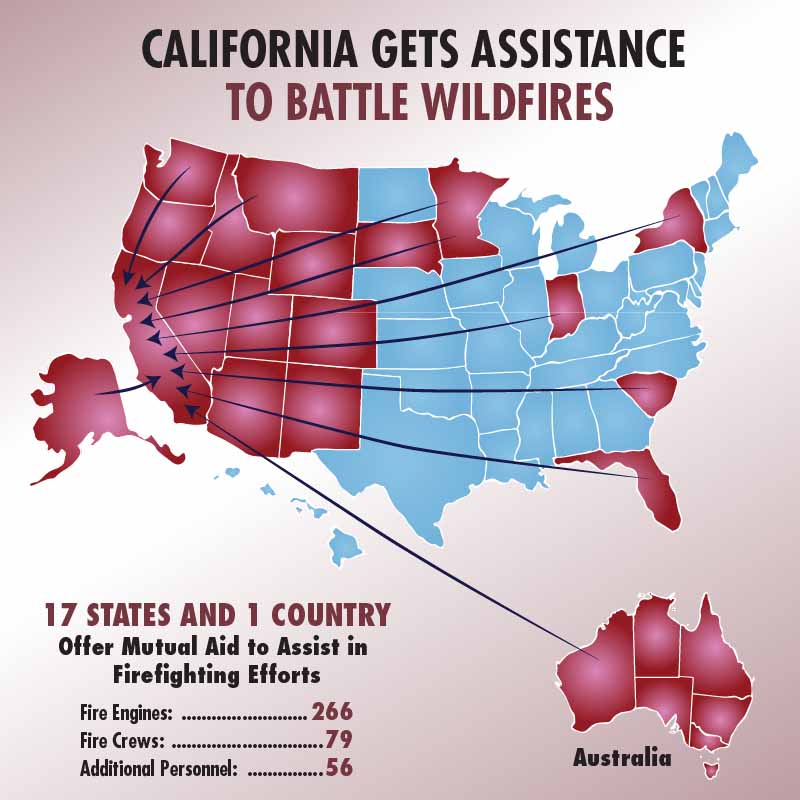
The fires in Sonoma and Napa counties have destroyed 3,947 structures. Approximately 4,230 personnel are fighting the blazes.
Officials report that 40 people have been confirmed dead in Northern California fires over the last week including fires in Mendocino County and near Yuba City.
Pocket Fire: 11,889 acres north of Geyserville. It continues to grow to the east and northeast.
Tubbs Fire, 44,481 acres. The most active area of the fire is still the northeastern portion around Red Hill and Mount Saint Helena. It continues to make short uphill runs on the north side of the peaks.
Nuns Fire, 48,627 acres. The northern portion 6 miles north of Calistoga grew to the north Sunday.
Atlas Fire, 51, 057 acres. It is much quieter than the other three fires.
Air tankers at the McClellan Air Tanker Base. CAL FIRE photo.
The National Weather Service predicts hot and dry conditions for the Santa Rosa area Monday with a high of 88 degrees, relative humidity in the mid-teens, and west or southwest winds of 2 to 9 mph.
Tuesday should bring better conditions for firefighters; 81 degrees, 28 percent RH, and southwest winds at 3 to 11 mph.
Satellite photo taken during the afternoon of October 15, 2017 showing smoke from wildfires north of San Francisco. The red dots represent heat.