Wildfire activity increases in Manitoba and Ontario

The Red 023 Fire near Sandy Lake in Ontario made a 20 kilometer run Monday afternoon and night

wildfires Manitoba Ontario June 2 2019
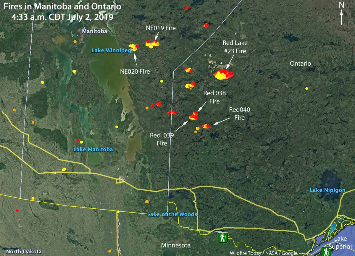
Map showing the locations of wildfires in Eastern Manitoba and northwest Ontario at 4:33 a.m. CDT July 2, 2019.

Wildfire activity in Canada has spread from British Columbia and Alberta, east to the provinces of Manitoba and Ontario. In the last several days about a dozen fires have grown much larger in Eastern Manitoba and Northwestern Ontario. Winds out of the west Monday afternoon and night forced some of blazes to grow substantially to the east and northeast.

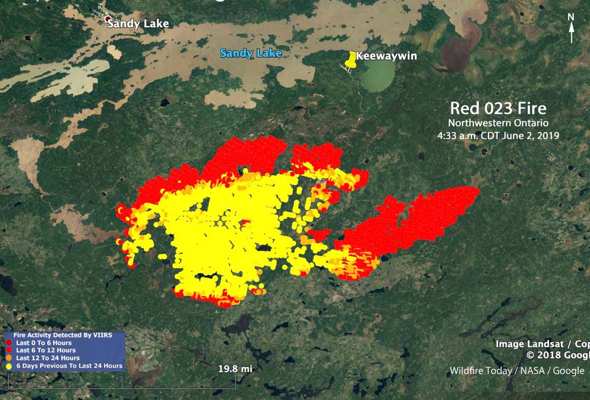
The largest in the area is in Northwestern Ontario, the Red 023 Fire that started June 15. As illustrated in the map below, between 2:42 p.m. July 1 and 4:33 a.m. CDT July 2 the fire ran east for about 20 kilometers (13 miles). Early Tuesday morning it was 4 miles south of Sandy Lake and six miles southwest of the community of Keewaywin.

The Ontario Ministry of Natural Resources and Forestry’s latest estimate of the size of the Red 023 Fire was 37,390 Ha (92,392 acres). After the major run, our very, very unofficial estimate using satellite data estimates that it has grown to at least 54,000 Ha (130,000 acres).
Map Red 023 fire Keewaywin Ontario Sandy Lake
Map showing heat on the Red 023 Fire detected by a satellite as late as 4:33 a.m. CDT July 2, 2019. The red areas burned between 2:42 p.m. July 1 and 4:33 a.m. CDT July2.

There are three large fires in Ontario northwest of Trout Lake that all started June 30. (See the map at the top of the article) The sizes were reported by the Ontario Ministry of Natural Resources and Forestry on July 1, 2019:

  • Red 038 Fire, 1,100 Ha (2,700 a)
  • Red 039 Fire, 10,000 Ha (24,700 a)
  • Red 040 Fire, 2,832 Ha (7,100 a)

Two of the larger fires in Manitoba are the NE 020 Fire and the NE 019 Fire, east of Lake Winnipeg and southeast of Playgreen Lake, both reported in mid-June. Their reported sizes are 11,000 Ha (27,000 acres) and 9,000 Ha  (22,000 acres), respectively.

The weather forecast for the Pikangikum, Ontario area through Saturday calls for temperatures in the mid to high 70s F, partly cloudy or sunny, winds generally out of the west during the day at 5 to 12 mph, and very little chance of rain.

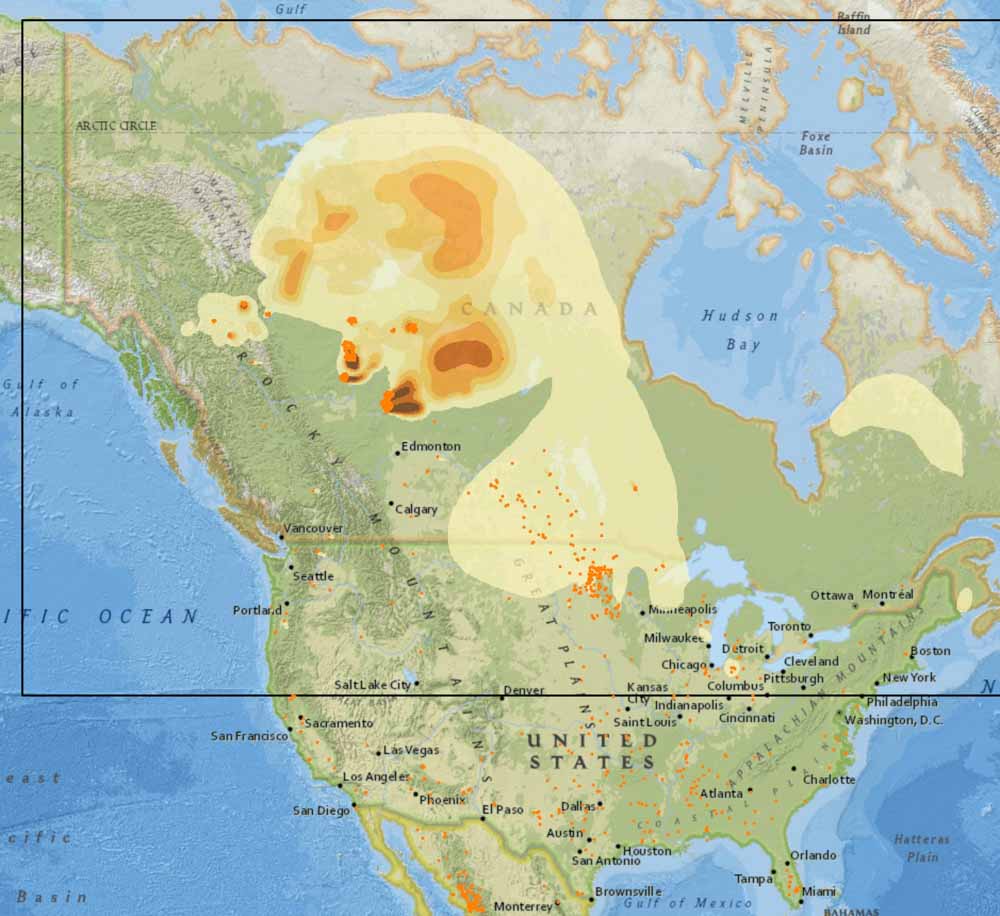
The map below shows the forecast for the distribution of wildfire smoke from the fires in Alaska, Manitoba, and Ontario at 7 p.m. CDT July 3, 2019.

Smoke Forecast wildfires Canada
Forecast for the distribution of wildfire smoke at 7 p.m. CDT July 3, 2019, produced July 2 by the Canadian government. The forecast only includes the area within the black border.

Four crews complete their fire assignments in Alberta

hotshot fire crew Alberta
Snake River IHC. Alberta, June, 2019.

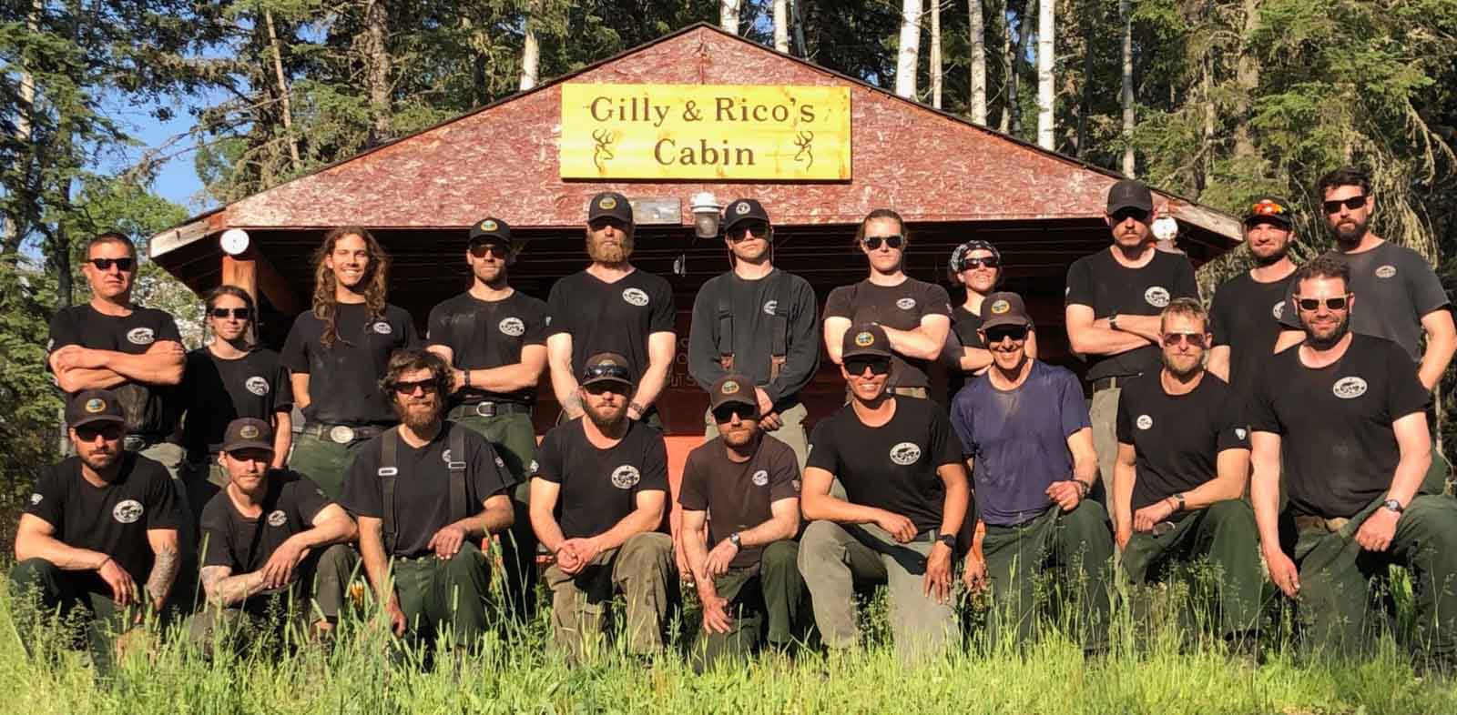
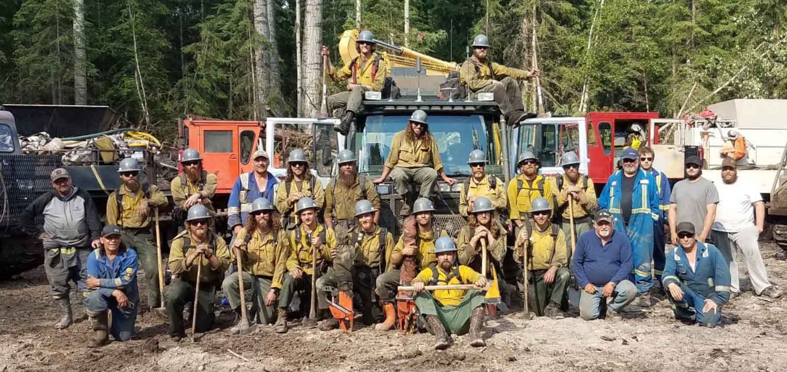
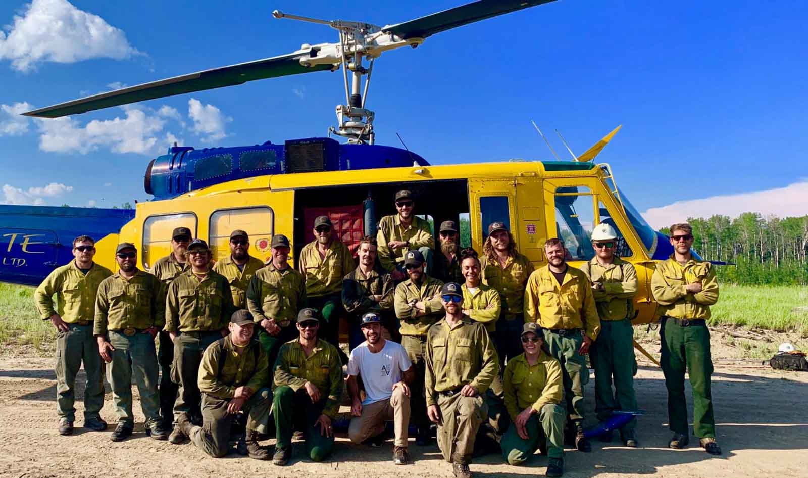
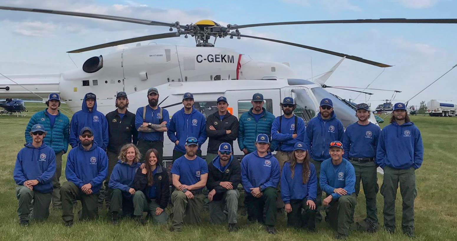
@AlbertaWildfire sent out a tweet today with four pictures saying goodby to four crews that had been assisting in the Province:

Today we say goodbye to our US firefighters that assisted us at the McMillan Complex in the Slave Lake Forest area. Thank you to the Prineville, Logan, Union and Snake River Hotshot Crews; we appreciate the support. Safe travels and all the best back home! #ABfire #ABwildfire

Click on the photos to see larger versions.

hotshot fire crew Alberta
Logan IHC. Alberta, June, 2019.

(Let us know which crew is which and we’ll add the crew names in captions. UPDATE — got them all identified. Thanks!)

hotshot fire crew Alberta
Union IHC. Alberta, June, 2019.
Prineville IHC Alberta
Prineville IHC. Alberta, June, 2019.

In addition to a number of U.S. firefighters in Alberta, at least 11 crews from the lower 48 states are assigned in Alaska according to the Alaska Interagency Coordination Center: Los Padres, Lewis and Clark, Chief Mountain, Golden Eagles, Crane Valley, Idaho Panhandle, Lakeview, Redmond, Vale, Wolf Creek, and Winema.

L-188 air tanker makes emergency wheels-up landing

The four people on board walked away

air tanker l-188 wheels up landing red deer alberta
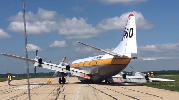
Tanker 490, an L-188, made an emergency landing June 22, 2019 at Red Deer Regional Airport when it had problems with the landing gear. Screenshot from the video below just before it touched down on the runway.

(This article was first published at Fire Aviation)

One of Air Spray’s four-engine L-188 Electras had a problem with its landing gear June 22 and had to make an emergency wheels-up landing at Red Deer Regional Airport in Alberta.

Red Deer News Now reported that according to Graham Ingham, CEO at the airport, the incident happened around 12:20 p.m.

“We had an Air Spray air tanker, an Electra-type aircraft, perform an emergency landing due to the fact it couldn’t get its main landing gear down. After a couple of attempts, they decided that it would be safer to do a wheels up landing, and subsequently they did. Thankfully they came to a complete stop. There were no injuries, no fire and it was the best outcome for everyone.”

Mr. Ingham said two pilots and two other people on board walked away from Air Tanker 490 without any injuries.

The video below shows what looks like an excellent landing, considering the circumstances.

air tanker 490 landing gear Red Deer Airport
Air Tanker 490 had a problem with the landing gear at Red Deer Airport, June 22, 2019 and had to make an emergency landing. Photo courtesy of Red Deer Airport.
Air tanker 481 Lockheed Electra L188
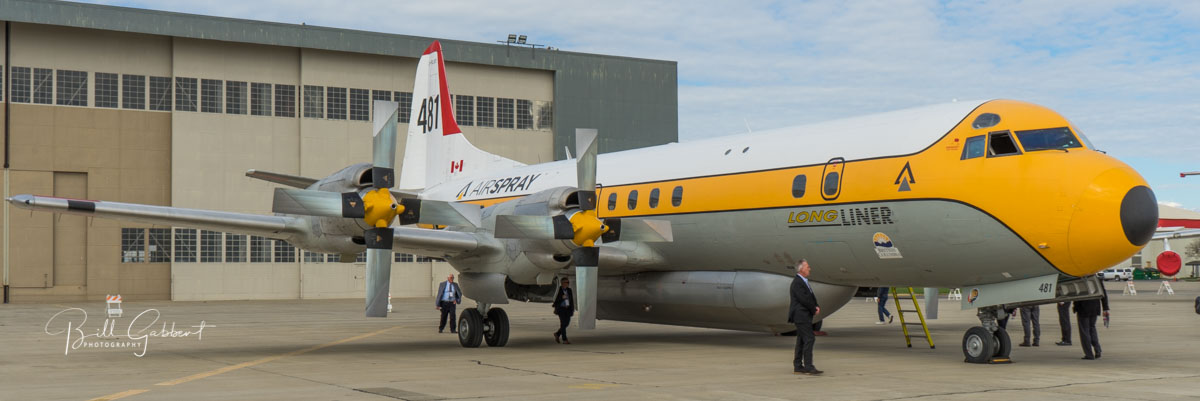
File photo of another Air Spray L-188, Air Tanker 481, at McClellan, March 12, 2018. Photo by Bill Gabbert.

The cause of the landing gear problem has not been released.

Other firefighting aircraft have had landing gear problems:

Firefighters staging in Sacramento to assist with wildfires in Canada

U.S. firefighters assist wildfires in Canada
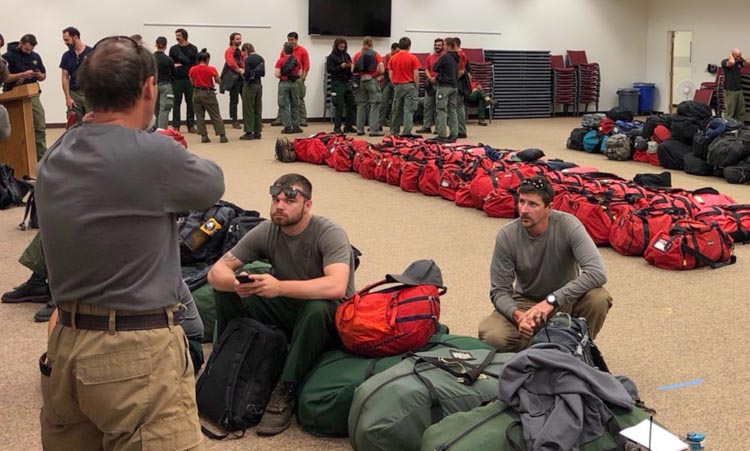
Firefighters prepare to board flights at Sacramento Sacramento Airport to assist with wildfires in western Canada, June 21, 2019. USFS photo.

On Friday U.S. Forest Service firefighters from several National Forests in California assembled at the Sacramento McClellan Airport as they were mobilized to assist with wildfires in Western Canada.

U.S. firefighters assist wildfires in Canada
Firefighters prepare to board flights at Sacramento Sacramento Airport to assist with wildfires in western Canada, June 21, 2019. USFS photo.

There is a report that two 20-person crews from South Africa are also en route.

U.S. crews en route to assist with wildfires in Canada

Firefighters, heavy equipment, and aircraft continue to work on the McMillan Complex in Alberta which is approximately 22km northeast of the junction of Highway 88 and Highway 754. The complex is comprised of 4 wildfires that are a combined 215,065 hectares (531,439 acres) in size. Alberta Fire photo.

At least five hotshot crews from Oregon and Montana will be leaving Wednesday to assist with the wildfires in Alberta.

Kathy Bushnell of the Helena-Lewis and Clark National Forest said Montana hotshot crews from the Helena, Lolo, Bitterroot and Flathead national forests will travel north with the Rogue River Hotshots from Oregon.

Deb Schweizer of the USFS office in Boise told Wildfire Today that an additional 15 personnel are being mobilized for a variety of overhead positions.

Thanks and a tip of the hat go out to Tom. Typos or errors, report them HERE.

Canadian wildfire smoke decreasing in United States

wildfire smoke map north america
The distribution of wildfire smoke at 8:11 a.m. MDT June 2, 2019. NOAA, Office of Satellite And Product Operations.

Smoke from wildfires in Alberta is still detectable across most of the Eastern United States today, but the Canadian government’s smoke forecast expects a significant decrease throughout the lower 48 states on Monday.

Cooler weather along with a slight chance of showers off and on in Alberta over the last several days has slowed the progress of the wildfires, including the 230,000-hectare (568,000-acre) Chuckegg Creek Fire at the town of High Level. Those conditions are expected to continue during this week, so it appears that U.S. residents will get a respite from polluted air that at times has been very unpleasant in the Northwest, especially along the Canadian border in Montana and Idaho.

The map above represents conditions today, Sunday June 2. The map below is the Canadian government’s forecast for smoke tomorrow, June 3. The Canadian system does not predict smoke conditions in the south half of the U.S. (outside of the box with the black lines).

wildfire smoke map north america
The smoke forecast for Monday at 5 a.m. MDT June 3, produced by the Canadian government.