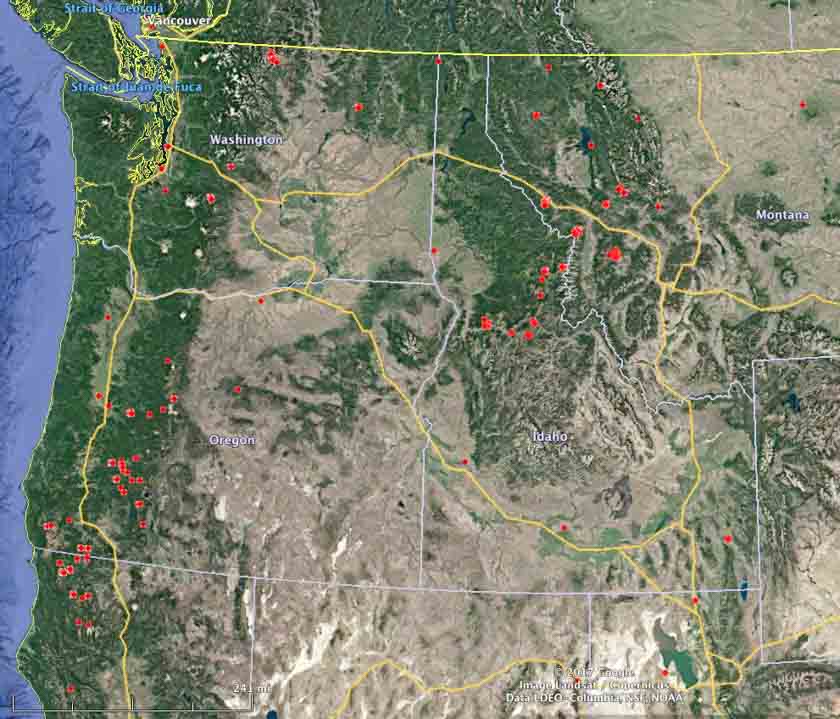
The satellite photo shows smoke from vegetation fires in the northwestern United States on August 31, 2017. The red dots represent heat detected by a satellite at 4:18 a.m. MDT September 1, 2017.
Tag: Washington
Satellite photo, wildfires in the Northwest U.S.
Click on the photo a couple of times to see a larger version.
Satellite photo, Aug. 30, of smoke from #wildfires in WA, OR, ID, MT, & CA. Red dots = heat from fires. NASA pic.twitter.com/QCNkon545R
— Wildfire Today (@wildfiretoday) August 30, 2017
Two wildfires in Washington were very active Tuesday
The Diamond Creek Fire burned across the international border into Canada Tuesday.
Above: Satellite photo showing smoke from fires in the Northwest United States August 29, 2017. The red dots represent heat detected at 3:56 a.m. PDT August 30, 2017.
(Originally published at 8:30 a.m. PDT August 30, 2017)
The Diamond Creek and Norse Peak Fires in Washington were very active Tuesday.
The Diamond Creek Fire in northern Washington that has been burning for five weeks spread across the border into Canada Tuesday. A spokesperson for the fire, Connie Mehmal, said it added another 16,000 acres to bring the size up to almost 49,000 acres, but heavy smoke on the north side in Canada prevented accurate mapping. The fire is not being completely suppressed, but special emphasis is directed toward protecting structures, including the community of Mazama on the south side.
Assigned to the fire are 3 helicopters and 3 fire engines for a total of 53 personnel, Ms. Mehmal said.

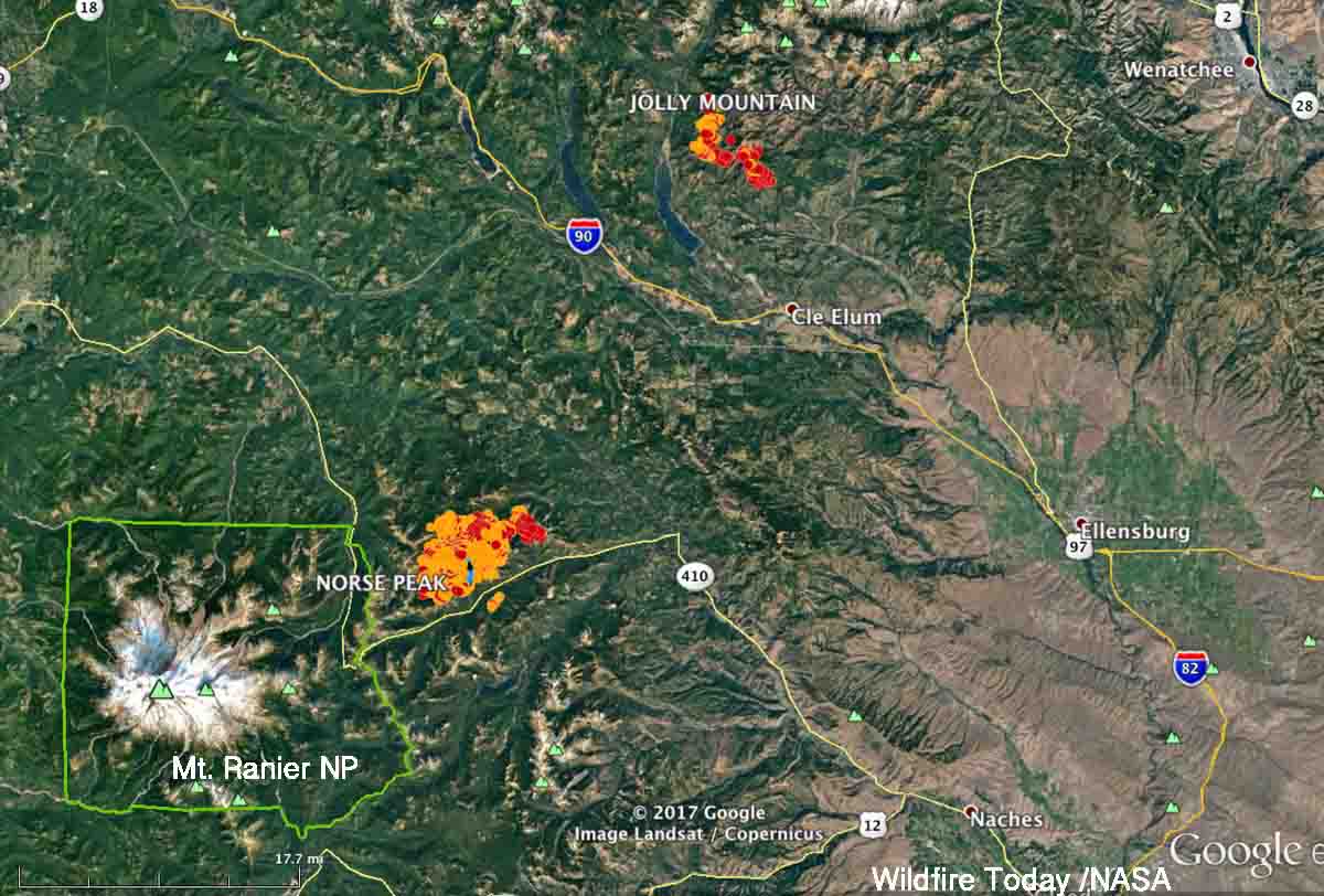
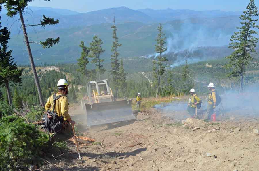
The Norse Peak Fire on the north side of Highway 410 northeast of Mount Rainier National Park grew by more than 9,000 acres Tuesday and has now burned 12,904 acres. Most of the spread was on the north side, pushed by a strong wind out of the south. The fire behavior on Monday and Tuesday was described as “plume dominated” and “extreme running, group torching, and short-range spotting”.

The strategy on the Norse Peak fire is not to completely suppress it, but to herd it around as necessary to protect private property and structures.
Update on Chetco Bar Fire and other wildfires in the Northwest
Above: Satellite photo from August 27, 2017 showing smoke created by fires in the Northwestern United States, including Chetco Bar, Liberty, Rice Ridge, and Jolly Mountain Fires. The red dots on the map represent heat detected by the satellite on August 28.
(Originally published at 9:55 a.m. MDT August 28, 2017)
The Chetco Bar Fire in Southwest Oregon has not been growing as quickly in recent days as it did earlier when it quadrupled in size over four days and crossed the 100,000-acre threshold. The most recent mapping puts it at almost 108,000 acres. The area is under a Red Flag Warning on through Tuesday for gusty southwest winds and low humidities which could result in increased burning intensity and rapid fire growth.
The 4,400-acre Jolly Mountain Fire in Central Washington is near a Red Flag Warning area. Fire officials’ expectations for Monday:
Southern and western flanks of the fire will become active with uphill crown runs both on the east and west sides of West Fork drainage. SE flank will continue to back downslope. Fire will become increasingly active as it spreads to the south, where it loses its downslope effect and in more exposed to general winds. Fire likely to cross Sasse Ridge to the west.

The 12,800-acre Liberty Fire has been burning northeast of Missoula, Montana since July 15 while the Rice Ridge Fire, not far away, has spread over 27,800 acres since it started two weeks later. Hot, dry weather on Monday could cause both blazes to become more active.
Dozens of active wildfires in the Northwest U.S.
Above: Active wildfires in Washington, Oregon, Idaho, Western Montana, and Northern California at 4:18 a.m. MDT August 16, 2017.
(Originally published at 10:21 a.m. MDT August 16, 2017)
Dozens of wildfires are active in the Northwest one-quarter of the United States. Many of them have been burning for several weeks under a limited suppression strategy. The states of Washington and Oregon have a total of 32 large uncontained fires that have spread over 810,171 acres.
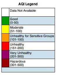
 At times the area around Missoula has been heavily affected by smoke. Here are some PM 2.5 readings from Wednesday morning:
- Seeley Lake: 180
- Missoula: 33
- Lolo: 54
- Superior: 180
- French Town: 19
- Clinton: 26


Two men escape from inmate firefighting crew in Washington
 At about 2:35 a.m. Tuesday two men escaped from an inmate crew that was assigned to the Head Water Fire in south-central Washington nine miles north of Goldendale. Tyray Munter, 30, was serving time for second degree assault and theft; Maksim Petrovskiy, 22, was convicted of possession of a stolen vehicle.
When not assigned to a fire the prisoners were held at the Olympic Corrections Center near Forks, Washington which houses approximately 380 minimum custody male inmates.
The Head Water Fire has burned 100 acres and has the following resources assigned: 2 hand crews, 6 engines, and 3 helicopters for a total of 123 personnel.


