The day before the documentary film Elemental: Reimagine Wildfire was set to begin streaming on Apple TV, Google Play and Amazon, the director Trip Jennings received a text: a jury found the power company PacifiCorp liable for the Oregon Labor Day fires that serve as examples in the film of why we need to rethink our relationships and responses to wildland fire.
We were talking with Jennings about the making of the film when the text arrived. He shared the news, and remembered, as a filmmaker and resident of Portland, Oregon, those days of wind, smoke and firestorms, of so many lost homes, and of when the film’s team first saw the footage of sparking power lines that ignited the destructive fires.
The news settled and we turned back to the other topics that he’s been focusing on: the vital dialogues of science, the challenging transitions of policy and funding, and the role of insurance as a potential pivot point to help us face wildfire’s risks to homes.
At the moment we were talking about the film itself, and the continuing conversations that the film prompts.

From initial screenings of the film. Jennings learned that the film sells out in communities where there are effective partnerships working to face wildfire issues. In these communities, Jennings said, the audience may have “a little bit of experience with fire, and they’re curious what to do. They want ideas on how to move forward, they’re feeling vulnerable and concerned. And fire folks are excited about the film too and want to share it. Yet it’s hard for firefighters to say, there’s a limit to what we can do.”
Which is one component of the theme in Elemental. That what we’ve been doing isn’t solving the problems. “We point out the limits to suppression,” though Jennings added that “There’s not a world where we’re not going to fund fire suppression.” And the role that fire professionals play in an ongoing paradigm shift is key. In making the film and during screenings, Jennings observed the “incredible and rare social capital of firefighters” and how their observations of the fire challenge is helping communities change. He was also pleased that the film caught enough of the nuances of fire management and fire science so that it resonated with firefighters (as well as fire survivors and politicians).
The role and voices of firefighters, cultural burners (firelighters), fire scientists, community members and policy makers will all be required in reimagining fire (and all are represented in the film). “We need to change the way we’re thinking about the cultural narrative. When we say the problem is in the forest, it’s not a sufficient answer. The forest is a value at risk, not a solution [to be implemented by logging]. If we can separate fire safety conversations from forest product industry conversations. … if we can separate the conversations more, to let fire safety be its own topic and goal, then the film will be a huge win. And then we can have a more nuanced conversation that takes in the science.”
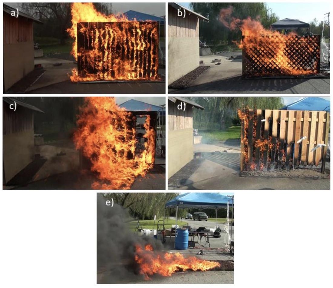
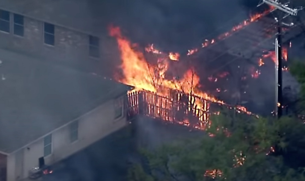
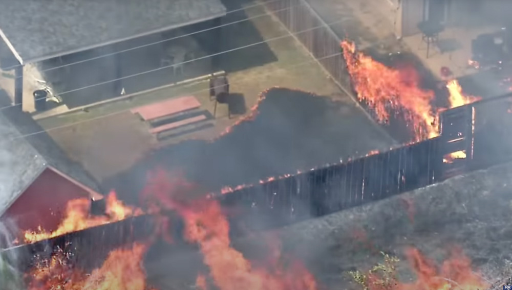
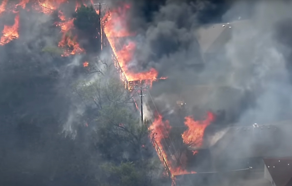
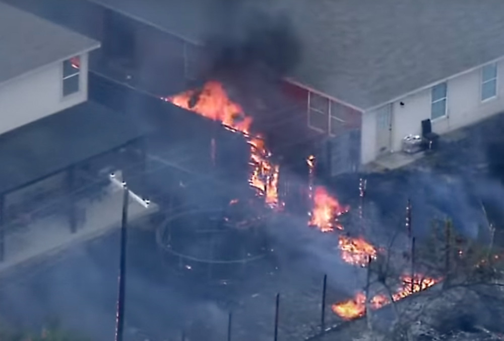
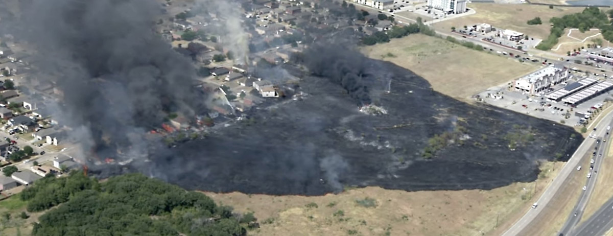
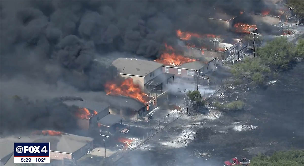
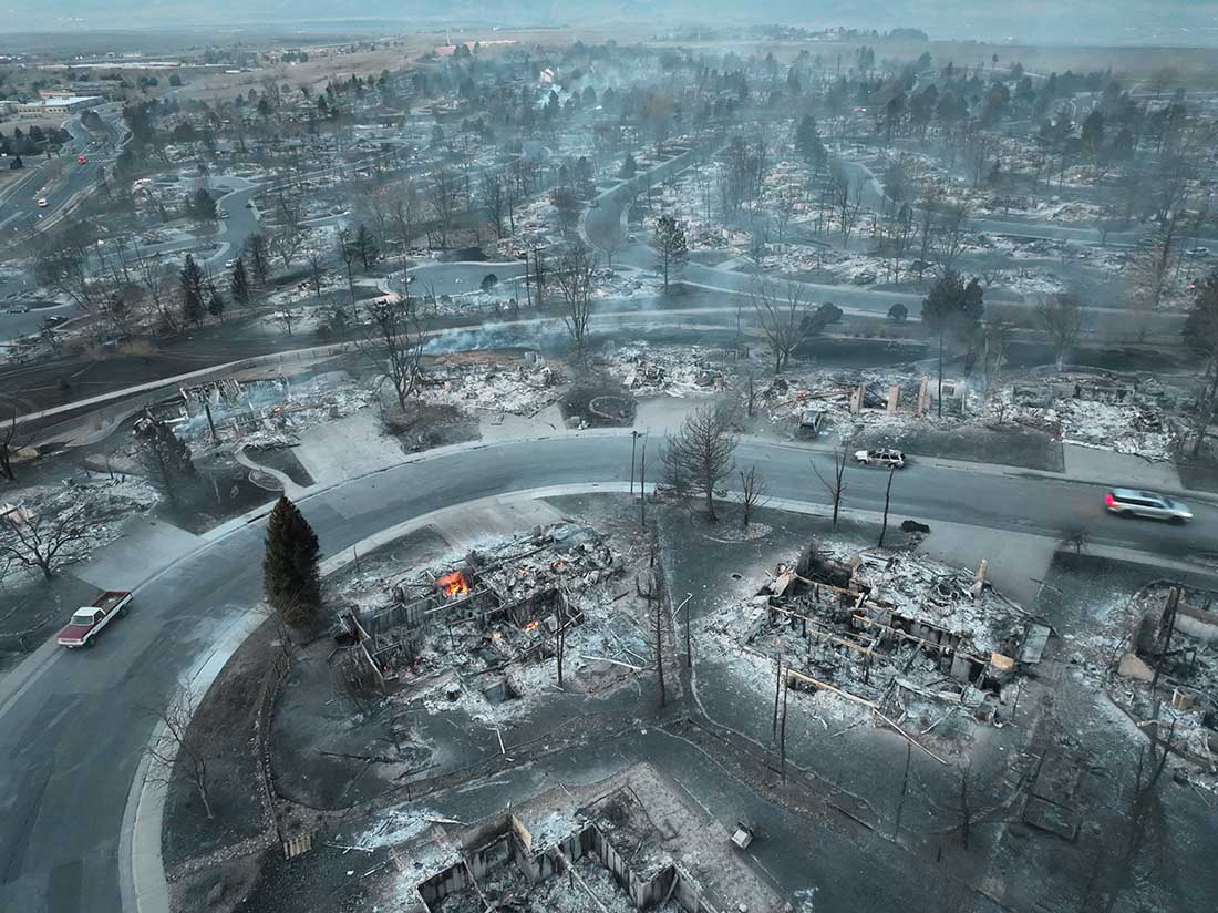
While suppression will always be a component, Jennings observed that what we fund when it comes to fire and fuels management needs to be focused on the values at risk, often the homes, which may not benefit from a distant forest treatment (and he notes that brush and grass fires, and home-to-home burning, can be as destructive as “forest” fires). Or, for that matter, a logging project packaged as fire safety.
Jennings pointed out that federal fuels management funding is often limited to federal lands, when the dollars would be more effective if they went directly to fire-hardening houses. “In California, the best numbers we can find show that only two of every hundred dollars is spent on the the home. The rest is spent on vegetation management. That’s part of what we help communicate in the film” … including the benefit of focusing on the home ignition zone, building on the work of Jack Cohen, the National Fire Protection Association (NFPA) and the Insurance Institute. of Business and Home Safety (IBHS). And to remember “that in one year we lost more homes in Paradise to fire than were built in California.”
Rebuilding homes is very expensive and fraught with legal and practical issues. “We’ve found ourselves in the insurance space,” Jennings said when the film first began to screen, in part because of ongoing work that Jennings and film producer/editor Sara Quinn are doing for the PBS Terra show “Weathered.”

“It’s the story of what’s going on for so many people rebuilding after fires. A lot of people who got dropped from insurance after a fire, for instance, if their house didn’t burn all the way down. A lot of recovery efforts seem to help those who have time and financial resources.”
And the rates rise. “We talked to someone who paid $1000 total, now their insurance totals $4500. I might spend that money to improve my home, not on insurance.” When it comes to fuels treatment, he said “I think we need to see that where the money goes. Even if it goes to private homes, that is a huge private benefit but everyone is safer if we spend money preparing homes for wildfires. If we cant get out the loop that we can only spend [fuel treatment and preparedness funds] on public lands.”
With some insurers leaving home insurance markets, Jennings wondered if the challenge of identifying the specific cost of wildfire risk, and charging for that through the home insurance process, may be a watershed moment. Again he echoed the ability of the film to reach targeted audiences. With showings to insurance professionals and risk managers he anticipates they may see the value to more clearly identify homes and home clusters that are ready to coexist with fire, and to offer price adjustments for those prepared homes. “We began with FireWise and now the key may be more granular initiatives. Homes are beginning to be counted with the “Wildfire Prepared Home” program being rolled out by IBHS [in a California pilot program], but whether the neighbors are prepared isn’t counted yet. There’s no idea how to model and price the individual risk within a neighborhood.” Though the IBHS program is a key step that may allow homeowners and insurers to rate a home’s wildfire preparedness, which may also mesh with a wildfire risk-rating process by the First Street Foundation along with NFPA’s “Outthink Wildfire” strategy.
Of course, this week’s news and next week’s developments aren’t in the film, but Jennings believes the film is evergreen, in part because of the conversations it prompts (such as those we’ve had with Jennings over the past two months).
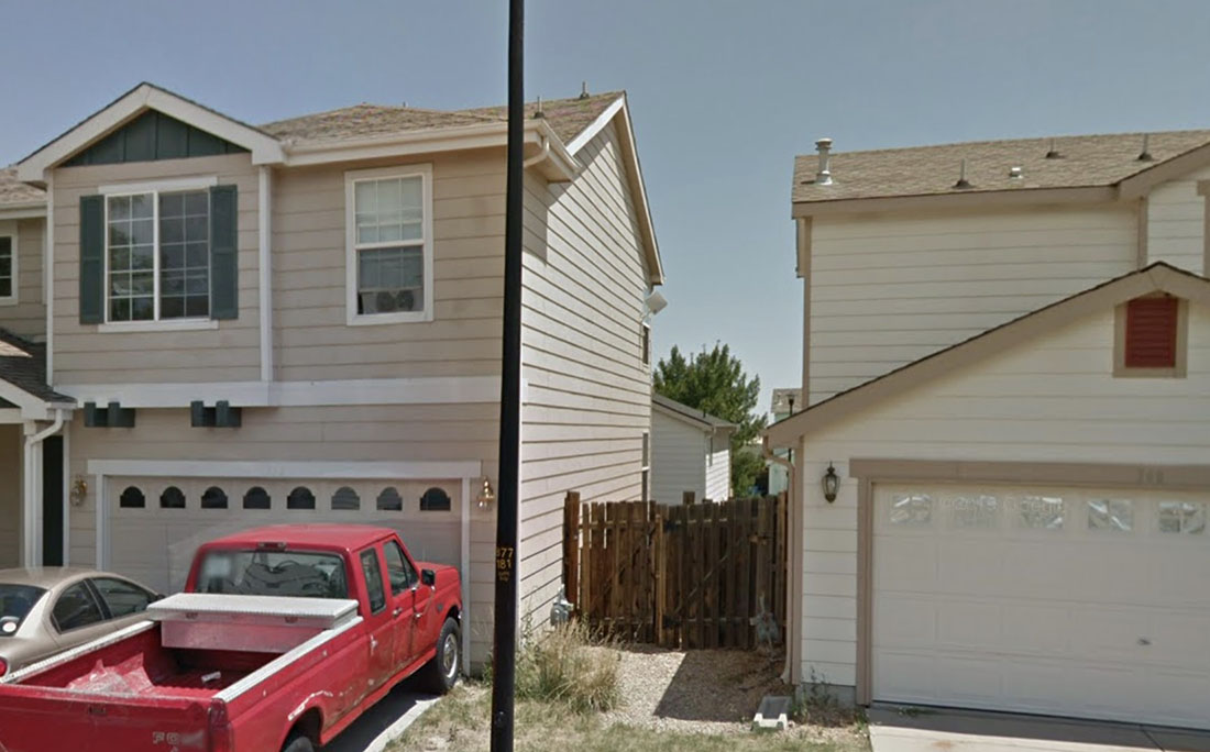
There is this and more in the film, of course, including an examination of the role of cultural burning in re-working our relationship with fire. And if our relationship with fire is complex, it is also, as the title reminds us, elemental. As elemental as the reminder that Jennings shared: the key to coexisting with fire begins within the five-foot zone adjacent to the house. “Since the 2008 WUI code, the science around the first five feet has developed a lot. Maybe it’s more important than any single thing.”
To learn why, and more, watch the film, now streaming.